

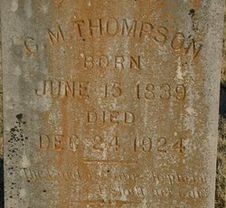
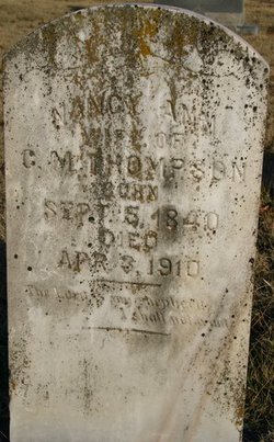
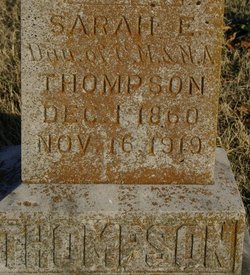
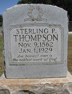
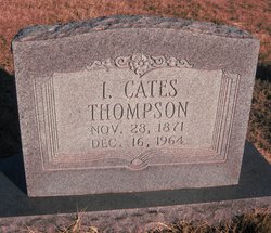
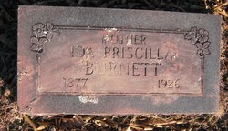
John Carter Thompson
| Birth | : | Jul 1869 Washington County, Arkansas, USA |
| Death | : | 1948 Washington County, Arkansas, USA |
| Burial | : | Bethel Wesleyan Church Cemetery, Henderson County, USA |
| Coordinate | : | 35.3157234, -82.4103165 |
frequently asked questions (FAQ):
-
Where is John Carter Thompson's memorial?
John Carter Thompson's memorial is located at: Bethel Wesleyan Church Cemetery, Henderson County, USA.
-
When did John Carter Thompson death?
John Carter Thompson death on 1948 in Washington County, Arkansas, USA
-
Where are the coordinates of the John Carter Thompson's memorial?
Latitude: 35.3157234
Longitude: -82.4103165
Family Members:
Parent
Spouse
Siblings

Flowers:


Nearby Cemetories:
1. Bethel Wesleyan Church Cemetery
Henderson County, USA
Coordinate: 35.3157234, -82.4103165
2. Tracy Grove Baptist Church
Henderson County, USA
Coordinate: 35.3142014, -82.4045029
3. Hammett Family Cemetery
Upward, Henderson County, USA
Coordinate: 35.3090400, -82.3868630
4. Forest Lawn Memorial Park
Henderson County, USA
Coordinate: 35.3225403, -82.4362411
5. Jones Family Cemetery at Upward
Upward, Henderson County, USA
Coordinate: 35.3022003, -82.3855972
6. Fair Haven Baptist Church Cemetery
Hendersonville, Henderson County, USA
Coordinate: 35.3447800, -82.4203100
7. Refuge Baptist Church Cemetery
Dana, Henderson County, USA
Coordinate: 35.3288002, -82.3751984
8. Gilbert-Justus Family Cemetery
Upward, Henderson County, USA
Coordinate: 35.2861000, -82.3894380
9. Oakland Cemetery
East Flat Rock, Henderson County, USA
Coordinate: 35.2835999, -82.4302979
10. Dana United Methodist Church Cemetery
Dana, Henderson County, USA
Coordinate: 35.3367271, -82.3744049
11. Moores Grove Methodist Cemetery
Henderson County, USA
Coordinate: 35.3488007, -82.4318008
12. Ebenezer Baptist Church Cemetery
Hendersonville, Henderson County, USA
Coordinate: 35.3498001, -82.4326019
13. Dana Baptist Church Cemetery
Dana, Henderson County, USA
Coordinate: 35.3395300, -82.3729300
14. Saint James Episcopal Church Cemetery
Hendersonville, Henderson County, USA
Coordinate: 35.3198874, -82.4610627
15. Pinecrest Presbyterian Church Memorial Garden
Flat Rock, Henderson County, USA
Coordinate: 35.2822100, -82.4426360
16. Seagle Cemetery
Henderson County, USA
Coordinate: 35.3553009, -82.4300003
17. Saint John In the Wilderness Cemetery
Flat Rock, Henderson County, USA
Coordinate: 35.2821170, -82.4435670
18. Oak Grove Baptist Church Cemetery
East Flat Rock, Henderson County, USA
Coordinate: 35.2729000, -82.4031580
19. Mud Creek Baptist Church Cemetery
Flat Rock, Henderson County, USA
Coordinate: 35.2905998, -82.4536972
20. Basiewicz Family Cemetery
Dana, Henderson County, USA
Coordinate: 35.3343700, -82.3603700
21. Hill Family Cemetery
Dana, Henderson County, USA
Coordinate: 35.3416300, -82.3652940
22. Anders Cemetery
East Flat Rock, Henderson County, USA
Coordinate: 35.2654700, -82.4064300
23. Oakdale Cemetery
Hendersonville, Henderson County, USA
Coordinate: 35.3191986, -82.4753036
24. Grace Lutheran Church Memorial Garden
Hendersonville, Henderson County, USA
Coordinate: 35.3212100, -82.4786900