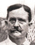
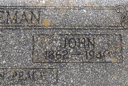
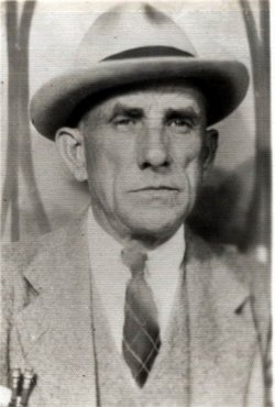
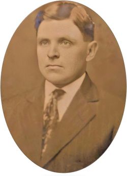
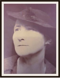
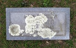
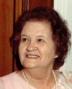
John Gaulden Freeman
| Birth | : | 1 Feb 1862 Salem, Lee County, Alabama, USA |
| Death | : | 9 Feb 1940 Huttig, Union County, Arkansas, USA |
| Burial | : | Vine Street Hill Cemetery, Cincinnati, Hamilton County, USA |
| Coordinate | : | 39.1516991, -84.5091019 |
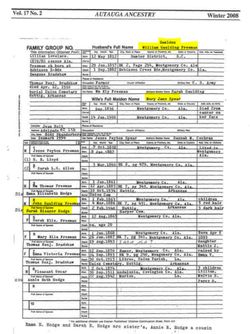
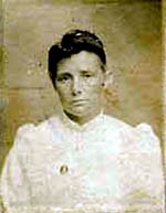
| Description | : | John's parents were William Gaulden Freeman (1812-1900) and Mary Jane Spear Freeman (1836-1900). John and Lena raised their grandson, Harland Lindsey, from the time of this mother's death. He was about 11 years old. OBITUARY: DEATH OF JOHN G. FREEMAN El Dorado, Arkansas – Funeral services were conducted Saturday afternoon by Rev. O. L. Allen at the Harper Springs Cemetery for John G. Freeman, 77, who died suddenly at his home on February 9, 1940, near Huttig. Interment was in the Harper Springs Cemetery. Mr. Freeman is survived by his widow, seven daughters, Mrs. Effie... Read More |
frequently asked questions (FAQ):
-
Where is John Gaulden Freeman's memorial?
John Gaulden Freeman's memorial is located at: Vine Street Hill Cemetery, Cincinnati, Hamilton County, USA.
-
When did John Gaulden Freeman death?
John Gaulden Freeman death on 9 Feb 1940 in Huttig, Union County, Arkansas, USA
-
Where are the coordinates of the John Gaulden Freeman's memorial?
Latitude: 39.1516991
Longitude: -84.5091019
Family Members:
Spouse
Children
Nearby Cemetories:
1. Vine Street Hill Cemetery
Cincinnati, Hamilton County, USA
Coordinate: 39.1516991, -84.5091019
2. Saint John Cemetery
Saint Bernard, Hamilton County, USA
Coordinate: 39.1643982, -84.5053024
3. Clifton United Jewish Cemetery
Cincinnati, Hamilton County, USA
Coordinate: 39.1470871, -84.5292816
4. Spring Grove Cemetery
Cincinnati, Hamilton County, USA
Coordinate: 39.1647900, -84.5231500
5. Hillside Chapel Crematory and Columbarium
Cincinnati, Hamilton County, USA
Coordinate: 39.1393509, -84.5247192
6. First German Protestant Cemetery
Avondale, Hamilton County, USA
Coordinate: 39.1492004, -84.4863968
7. Methodist Protestant Cemetery (Defunct)
Cincinnati, Hamilton County, USA
Coordinate: 39.1324770, -84.4983160
8. Saint Mary Cemetery
Saint Bernard, Hamilton County, USA
Coordinate: 39.1664009, -84.4880981
9. Walnut Hills Cemetery
Cincinnati, Hamilton County, USA
Coordinate: 39.1355950, -84.4809040
10. Walnut Hills Jewish Cemetery
Evanston, Hamilton County, USA
Coordinate: 39.1403700, -84.4731300
11. Wesleyan Cemetery
Cincinnati, Hamilton County, USA
Coordinate: 39.1599998, -84.5468979
12. Calvary Cemetery
Cincinnati, Hamilton County, USA
Coordinate: 39.1403008, -84.4697037
13. Third Quaker Cemetery (Defunct)
Cincinnati, Hamilton County, USA
Coordinate: 39.1542400, -84.5523720
14. Christ Church Cemetery
Over-The-Rhine, Hamilton County, USA
Coordinate: 39.1126480, -84.5157623
15. Second Quaker Cemetery (Defunct)
Cincinnati, Hamilton County, USA
Coordinate: 39.1153090, -84.5305240
16. Christ Episcopal Churchyard (Defunct)
Cincinnati, Hamilton County, USA
Coordinate: 39.1100520, -84.5177220
17. Potters Field
Cincinnati, Hamilton County, USA
Coordinate: 39.1094440, -84.5188890
18. Thomas Williams Cemetery (Defunct)
Cincinnati, Hamilton County, USA
Coordinate: 39.1085060, -84.5146050
19. Presbyterian Burying Ground
Cincinnati, Hamilton County, USA
Coordinate: 39.1082510, -84.5175720
20. Old Finneytown Cemetery
Finneytown, Hamilton County, USA
Coordinate: 39.1962220, -84.5206120
21. Chestnut Street Cemetery
Over-The-Rhine, Hamilton County, USA
Coordinate: 39.1071610, -84.5212210
22. Lincoln Park Potters Field (Defunct)
Cincinnati, Hamilton County, USA
Coordinate: 39.1097710, -84.5346450
23. Enon Baptist Church Burying Ground (Defunct)
Cincinnati, Hamilton County, USA
Coordinate: 39.1065420, -84.5238110
24. Catherine Street Burying Ground
Cincinnati, Hamilton County, USA
Coordinate: 39.1067490, -84.5252700

