
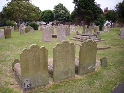
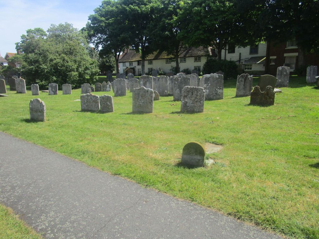
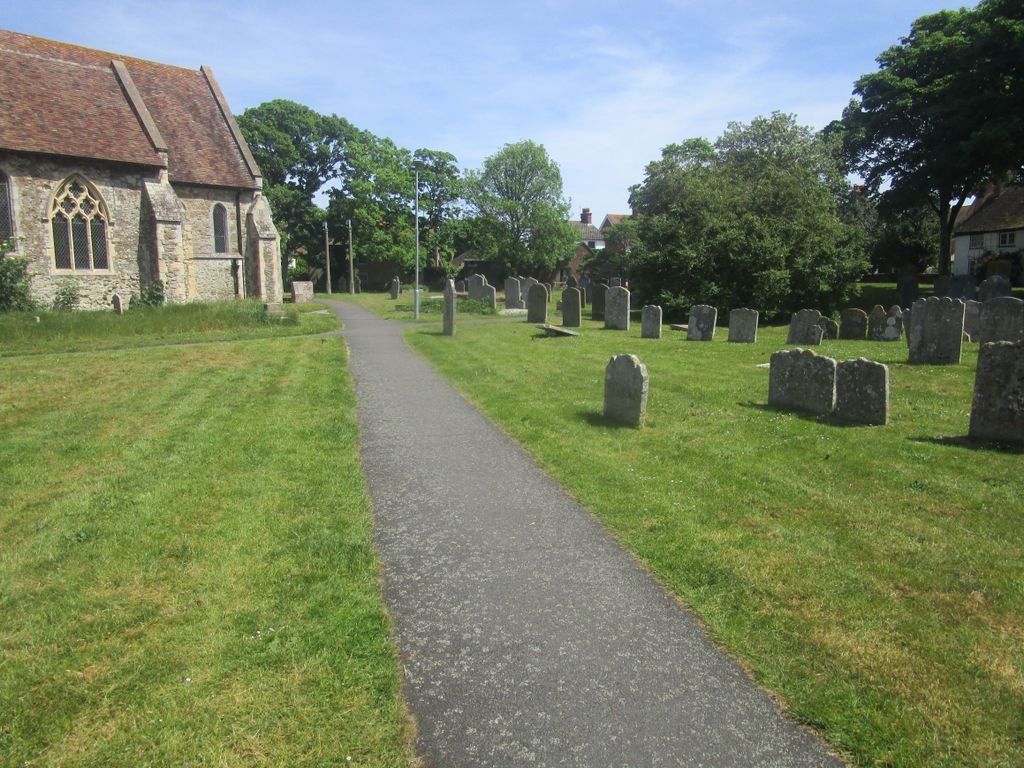
| Memorials | : | 863 |
| Location | : | Lydd, Shepway District, England |
| Coordinate | : | 50.9518160, 0.9068730 |
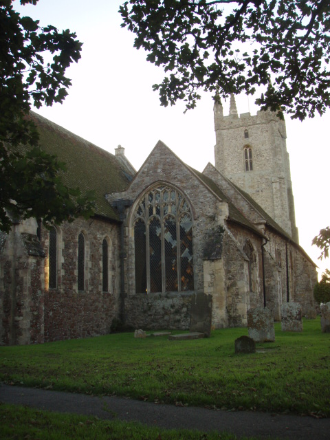
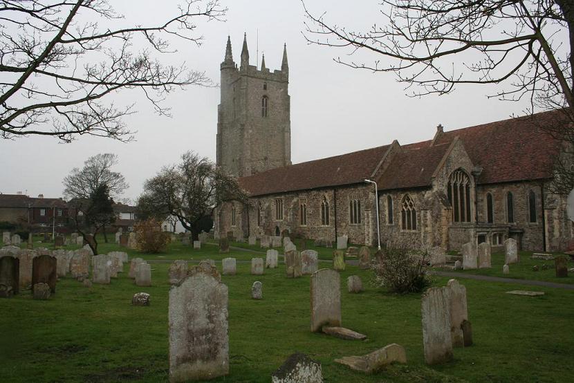
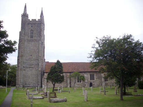
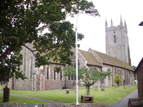
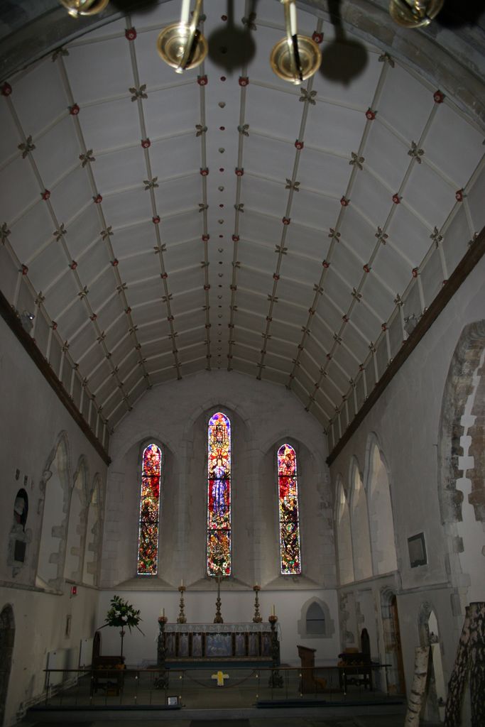
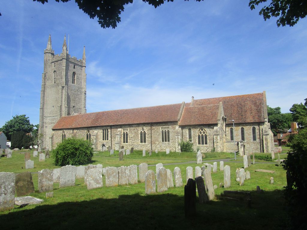
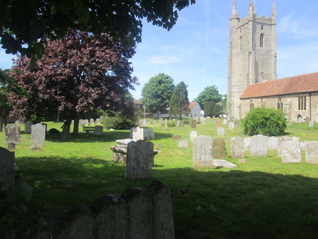
| Description | : | The church is also known as The Cathedral of the Marsh, because of its great size. At 199 ft, it is the longest in Kent. The first building on this site was Romano-British, and parts of it still remain in the north-west corner of the church. |
frequently asked questions (FAQ):
-
Where is All Saints Churchyard?
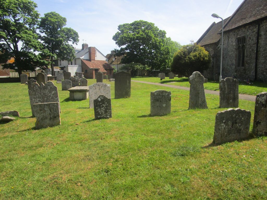
All Saints Churchyard is located at Road B 2075 Lydd, Shepway District ,Kent ,England.
-
All Saints Churchyard cemetery's updated grave count on graveviews.com?
111 memorials
-
Where are the coordinates of the All Saints Churchyard?
Latitude: 50.9518160
Longitude: 0.9068730
Nearby Cemetories:
1. Lydd Cemetery
Lydd, Shepway District, England
Coordinate: 50.9531810, 0.9127050
2. New Romney Cemetery
New Romney, Shepway District, England
Coordinate: 50.9843600, 0.9388800
3. St Clement Churchyard
Old Romney, Shepway District, England
Coordinate: 50.9901390, 0.8981780
4. Burma Campaign Memorial
New Romney, Shepway District, England
Coordinate: 50.9851600, 0.9404470
5. St Nicholas Churchyard
New Romney, Shepway District, England
Coordinate: 50.9850930, 0.9411740
6. St George's Church
Ivychurch, Shepway District, England
Coordinate: 51.0124590, 0.8895980
7. St Augustine Church
Brookland, Shepway District, England
Coordinate: 50.9973880, 0.8337460
8. St Mary the Virgin Churchyard
St Mary in the Marsh, Shepway District, England
Coordinate: 51.0141390, 0.9423380
9. Brenzett Cemetery
Brenzett, Shepway District, England
Coordinate: 51.0130800, 0.8561300
10. St Enswith's Church
Brenzett, Shepway District, England
Coordinate: 51.0138510, 0.8573170
11. St. Dunstan Churchyard
Snargate, Shepway District, England
Coordinate: 51.0227100, 0.8371750
12. St Augustine Church
Snave, Ashford Borough, England
Coordinate: 51.0334570, 0.8710390
13. St. Thomas à Becket Cemetery
Fairfield, Shepway District, England
Coordinate: 51.0043210, 0.7993930
14. Church of St. Peter & St. Paul
Newchurch, Shepway District, England
Coordinate: 51.0438640, 0.9272210
15. Holy Spirit Churchyard
Rye Harbour, Rother District, England
Coordinate: 50.9387970, 0.7567050
16. St Peter and St Paul Churchyard
Dymchurch, Shepway District, England
Coordinate: 51.0283830, 0.9979190
17. Dymchurch burial ground
Dymchurch, Shepway District, England
Coordinate: 51.0292430, 0.9972430
18. St Peter and St Paul Churchyard
Appledore, Ashford Borough, England
Coordinate: 51.0295660, 0.7903990
19. St Mary the Virgin Churchyard
Stone-cum-Ebony, Ashford Borough, England
Coordinate: 51.0127980, 0.7645592
20. St Mary the Virgin Churchyard
Rye, Rother District, England
Coordinate: 50.9501686, 0.7341530
21. St. Michael's Churchyard
Playden, Rother District, England
Coordinate: 50.9621200, 0.7327000
22. Rye Cemetery
Rye, Rother District, England
Coordinate: 50.9595370, 0.7322520
23. All Saints Churchyard
Burmarsh, Shepway District, England
Coordinate: 51.0492000, 0.9964000
24. St. Mary Magdalene Churchyard
Ruckinge, Ashford Borough, England
Coordinate: 51.0654060, 0.8883300