
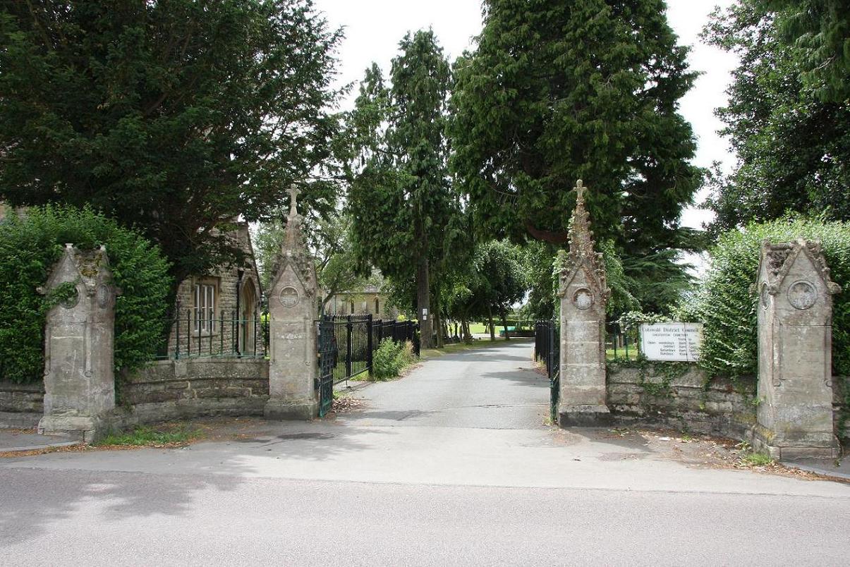
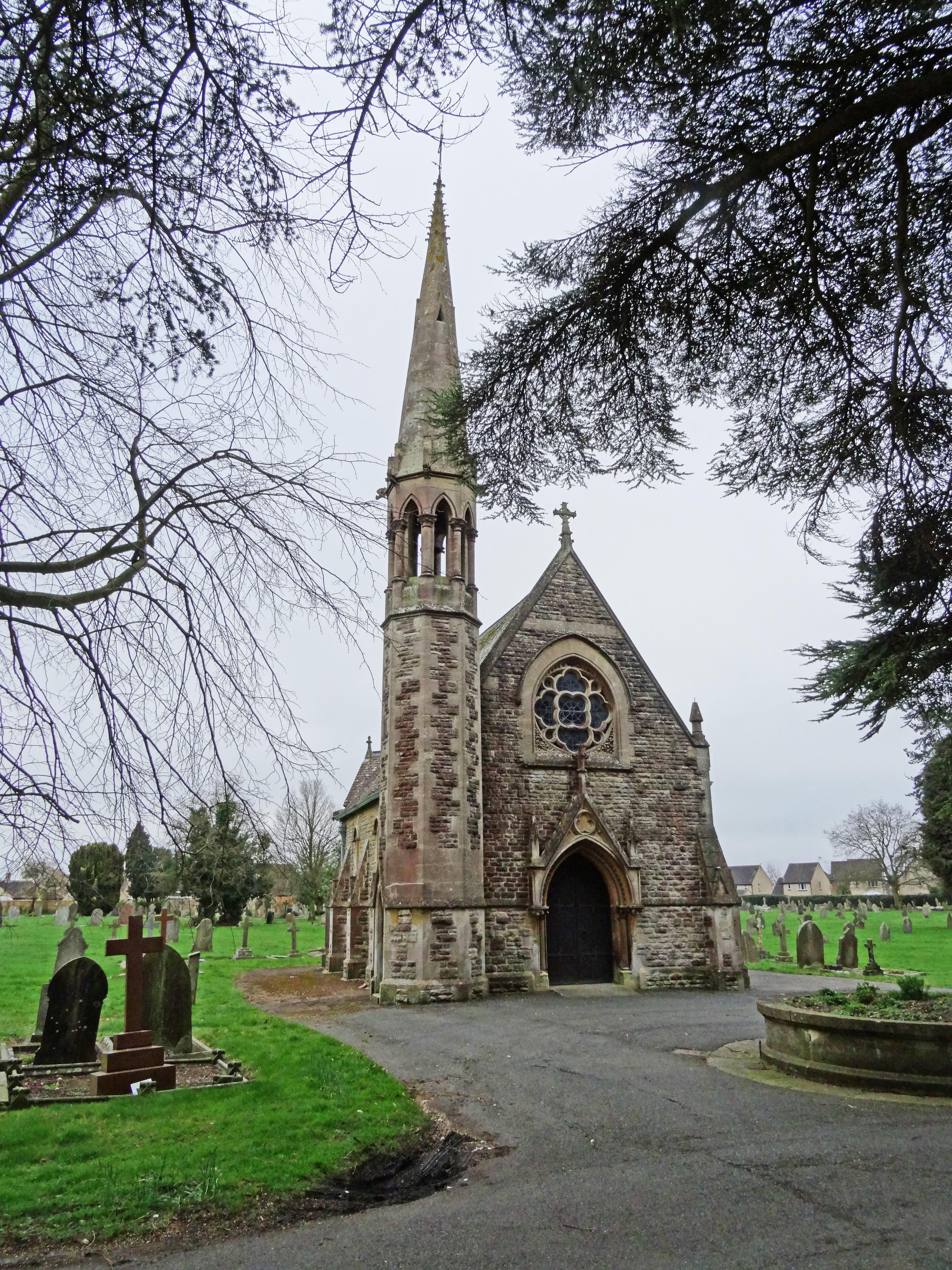
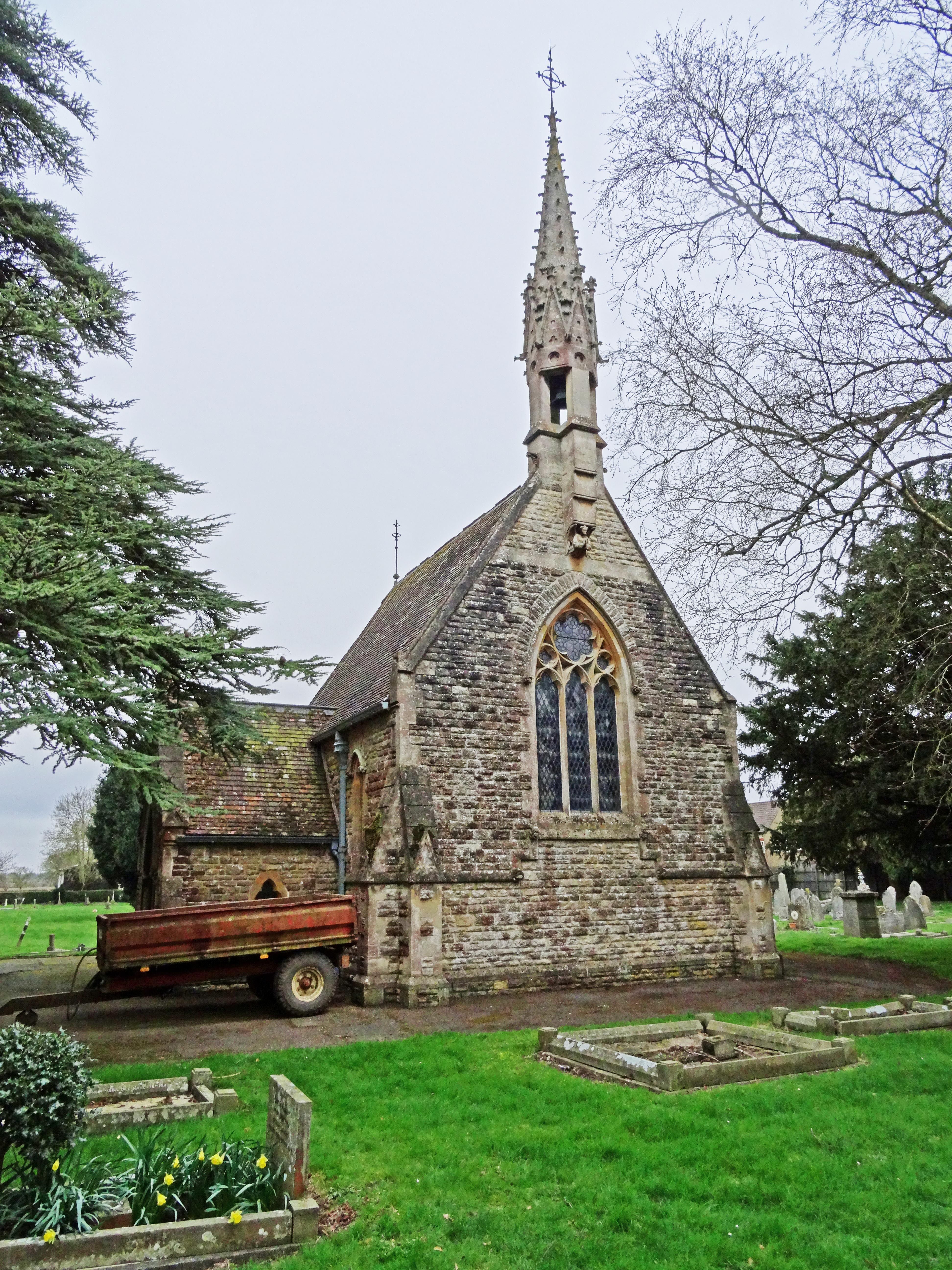
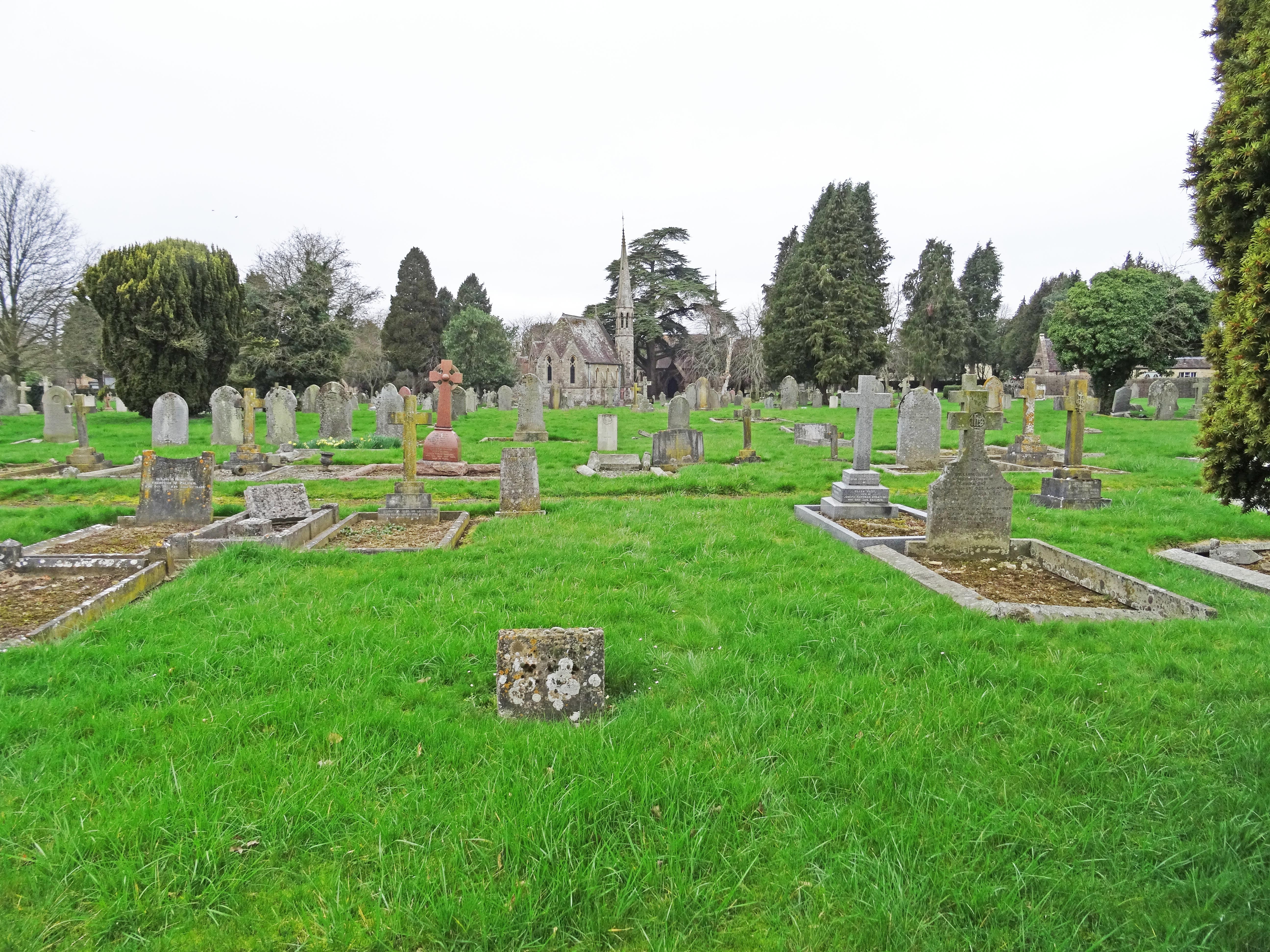
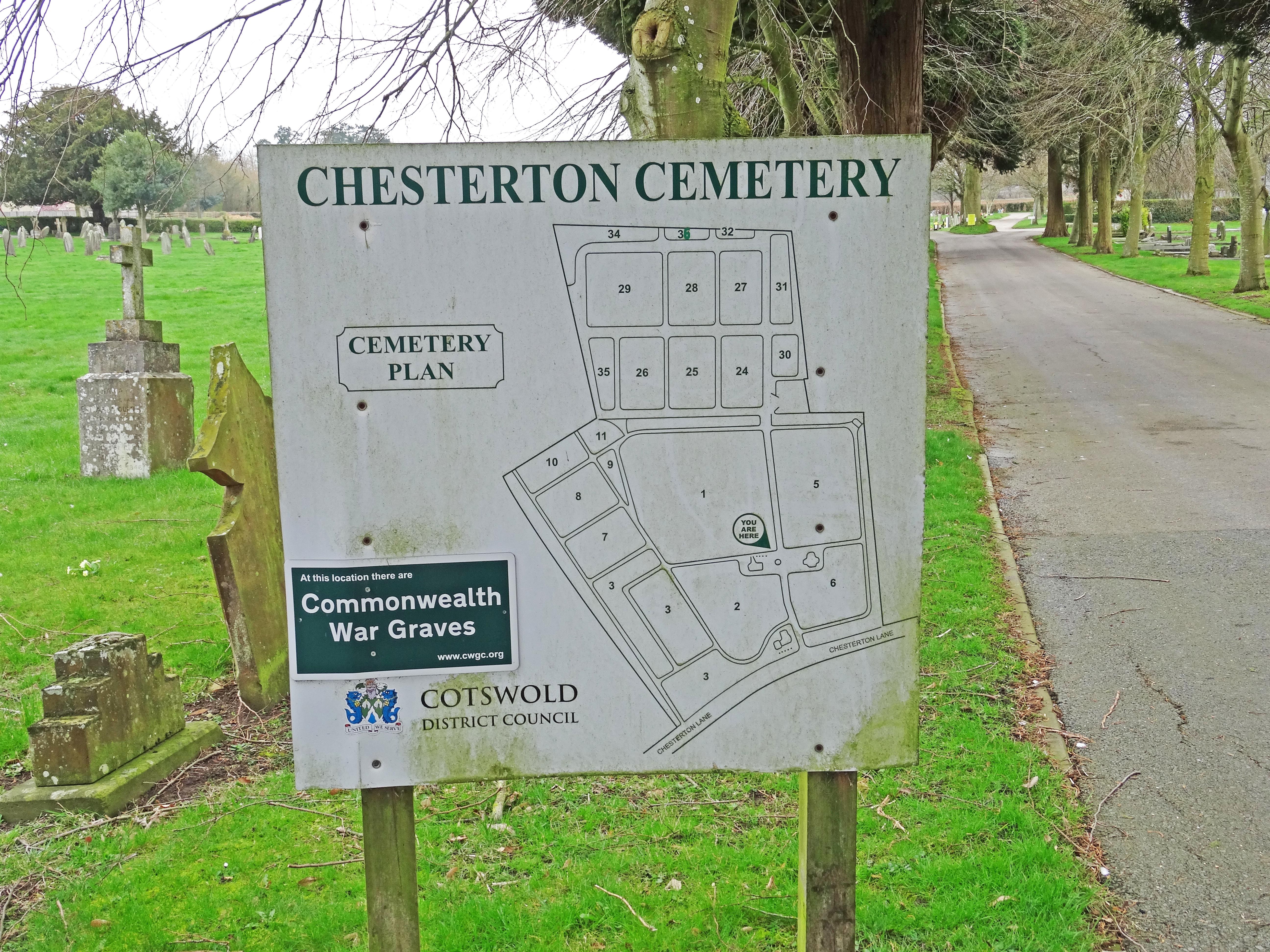
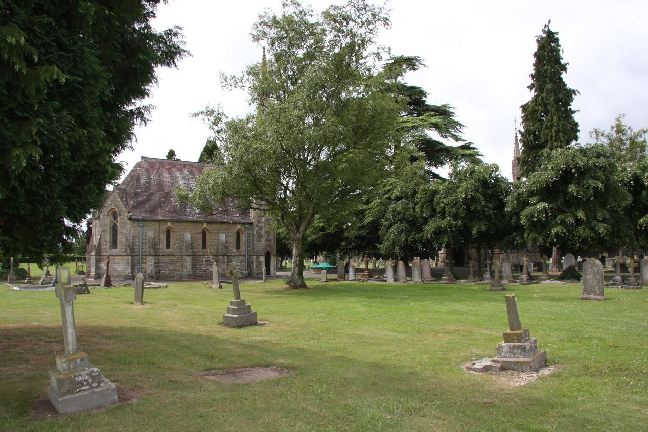
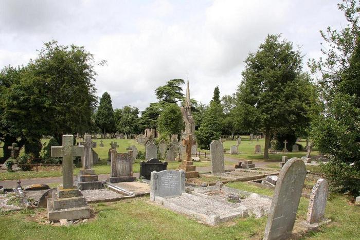
| Memorials | : | 2325 |
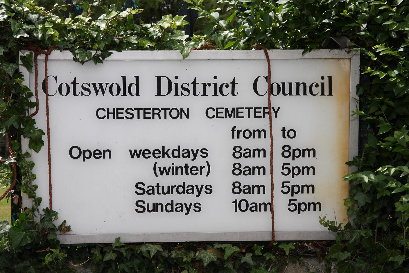
| Location | : | Cirencester, Cotswold District, England |
| Coordinate | : | 51.7099230, -1.9801340 |
frequently asked questions (FAQ):
-
Where is Chesterton Cemetery?
Chesterton Cemetery is located at Chesteron Lane Cirencester, Cotswold District ,Gloucestershire ,England.
-
Chesterton Cemetery cemetery's updated grave count on graveviews.com?
2325 memorials
-
Where are the coordinates of the Chesterton Cemetery?
Latitude: 51.7099230
Longitude: -1.9801340
Nearby Cemetories:
1. St. John the Baptist Churchyard
Cirencester, Cotswold District, England
Coordinate: 51.7175600, -1.9678580
2. Stratton Cemetery
Cirencester, Cotswold District, England
Coordinate: 51.7353020, -1.9859041
3. St Mary Magdalene Churchyard
Baunton, Cotswold District, England
Coordinate: 51.7400511, -1.9692225
4. St Matthew Churchyard
Coates, Cotswold District, England
Coordinate: 51.7077470, -2.0411010
5. All Saints Church
Kemble, Cotswold District, England
Coordinate: 51.6711000, -2.0154000
6. All Hallows Churchyard
South Cerney, Cotswold District, England
Coordinate: 51.6748248, -1.9292083
7. Ampney St. Mary Parish Churchyard
Ampney St Mary, Cotswold District, England
Coordinate: 51.7125000, -1.8919000
8. Ampney St Peter Churchyard
Ampney St Peter, Cotswold District, England
Coordinate: 51.7126320, -1.8918160
9. All Saints Churchyard
North Cerney, Cotswold District, England
Coordinate: 51.7687300, -1.9746800
10. St. Kenelm's Churchyard
Sapperton, Cotswold District, England
Coordinate: 51.7294000, -2.0775000
11. St Mary Churchyard
Barnsley, Cotswold District, England
Coordinate: 51.7445030, -1.8894860
12. Holy Cross Churchyard
Ashton Keynes, Wiltshire Unitary Authority, England
Coordinate: 51.6479000, -1.9394000
13. St Peter Churchyard
Rodmarton, Cotswold District, England
Coordinate: 51.6812230, -2.0841920
14. St Peter Churchyard
Duntisbourne Abbots, Cotswold District, England
Coordinate: 51.7694080, -2.0438190
15. Poulton Priory
Poulton, Cotswold District, England
Coordinate: 51.6989750, -1.8638940
16. All Saints Churchyard
Down Ampney, Cotswold District, England
Coordinate: 51.6674850, -1.8592640
17. All Saints Churchyard
Crudwell, Wiltshire Unitary Authority, England
Coordinate: 51.6349050, -2.0644280
18. St Bartholemew Church
Oakridge, Stroud District, England
Coordinate: 51.7291209, -2.1276180
19. St. Andrew's Churchyard
Miserden, Stroud District, England
Coordinate: 51.7787500, -2.0940500
20. St. Mary the Virgin Churchyard
Bibury, Cotswold District, England
Coordinate: 51.7587037, -1.8376852
21. Cricklade Cemetery
Cricklade, Wiltshire Unitary Authority, England
Coordinate: 51.6414360, -1.8605570
22. St. Mary's Churchyard
Cricklade, Wiltshire Unitary Authority, England
Coordinate: 51.6435624, -1.8553451
23. Chalford Baptist Tabernacle Churchyard
Chalford, Stroud District, England
Coordinate: 51.7226610, -2.1443260
24. St. Sampson Churchyard
Cricklade, Wiltshire Unitary Authority, England
Coordinate: 51.6405970, -1.8580760