
| Memorials | : | 0 |
| Location | : | Ashton Keynes, Wiltshire Unitary Authority, England |
| Coordinate | : | 51.6479000, -1.9394000 |
frequently asked questions (FAQ):
-
Where is Holy Cross Churchyard?
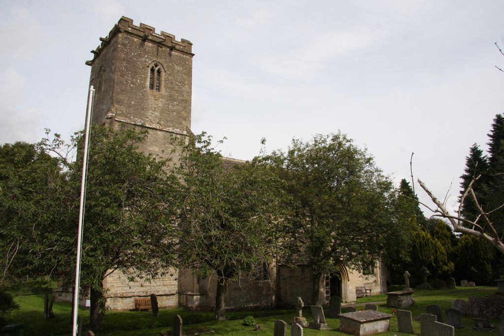
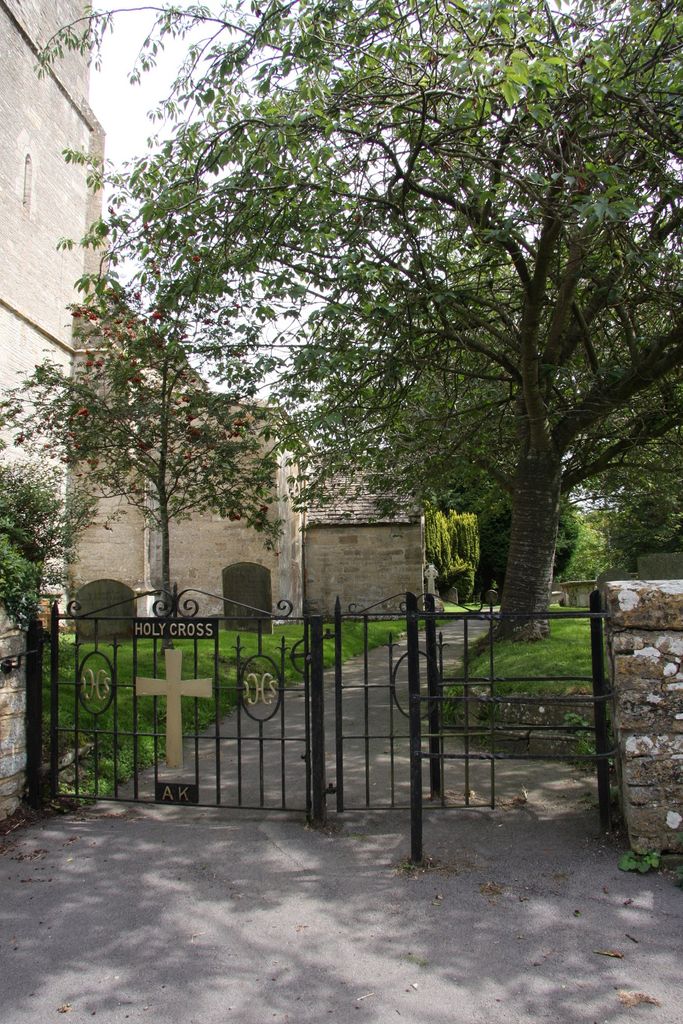
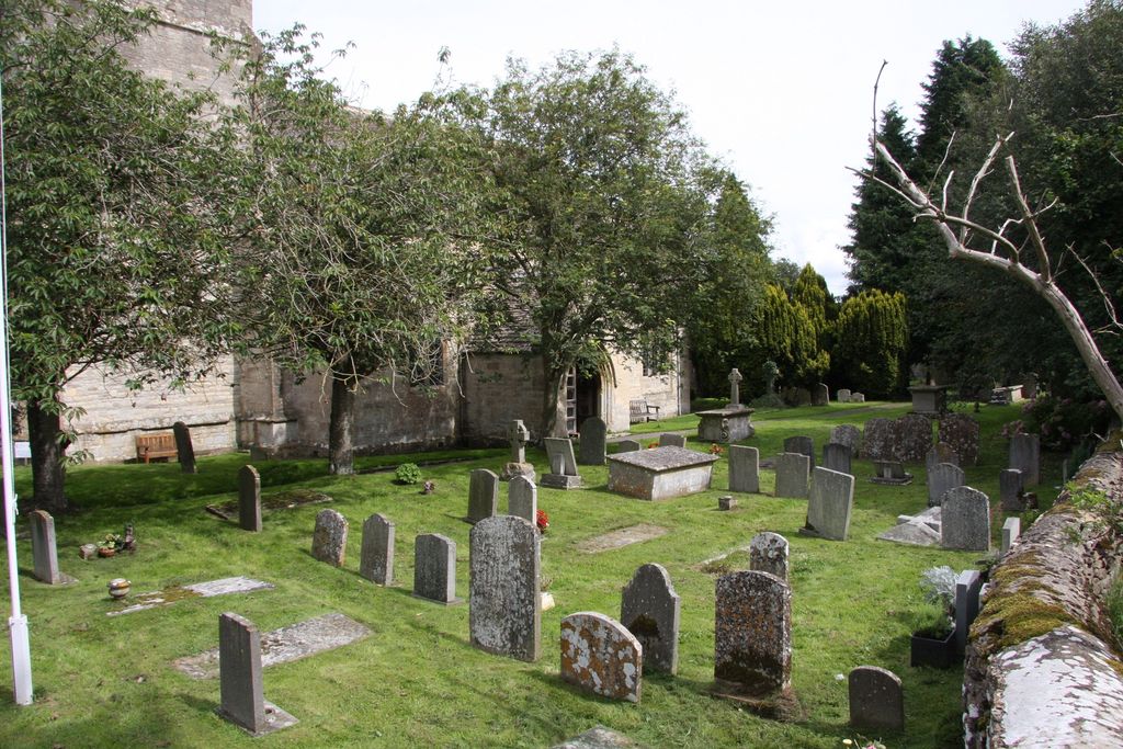
Holy Cross Churchyard is located at North End, Holy Cross is situated on the Cirencester to Wootton Bassett Road Ashton Keynes, Wiltshire Unitary Authority ,Wiltshire , SN6 6QREngland.
-
Holy Cross Churchyard cemetery's updated grave count on graveviews.com?
0 memorials
-
Where are the coordinates of the Holy Cross Churchyard?
Latitude: 51.6479000
Longitude: -1.9394000
Nearby Cemetories:
1. All Hallows Churchyard
South Cerney, Cotswold District, England
Coordinate: 51.6748248, -1.9292083
2. Cricklade Cemetery
Cricklade, Wiltshire Unitary Authority, England
Coordinate: 51.6414360, -1.8605570
3. St. Sampson Churchyard
Cricklade, Wiltshire Unitary Authority, England
Coordinate: 51.6405970, -1.8580760
4. St. Mary's Churchyard
Cricklade, Wiltshire Unitary Authority, England
Coordinate: 51.6435624, -1.8553451
5. All Saints Church
Kemble, Cotswold District, England
Coordinate: 51.6711000, -2.0154000
6. All Saints Churchyard
Down Ampney, Cotswold District, England
Coordinate: 51.6674850, -1.8592640
7. Chesterton Cemetery
Cirencester, Cotswold District, England
Coordinate: 51.7099230, -1.9801340
8. Poulton Priory
Poulton, Cotswold District, England
Coordinate: 51.6989750, -1.8638940
9. Ampney St. Mary Parish Churchyard
Ampney St Mary, Cotswold District, England
Coordinate: 51.7125000, -1.8919000
10. Ampney St Peter Churchyard
Ampney St Peter, Cotswold District, England
Coordinate: 51.7126320, -1.8918160
11. St. John the Baptist Churchyard
Cirencester, Cotswold District, England
Coordinate: 51.7175600, -1.9678580
12. All Saints Churchyard
Crudwell, Wiltshire Unitary Authority, England
Coordinate: 51.6349050, -2.0644280
13. St Matthew Churchyard
Coates, Cotswold District, England
Coordinate: 51.7077470, -2.0411010
14. St. John the Baptist Churchyard
Charlton (North), Wiltshire Unitary Authority, England
Coordinate: 51.5995500, -2.0604800
15. Stratton Cemetery
Cirencester, Cotswold District, England
Coordinate: 51.7353020, -1.9859041
16. St Andrew's Church
Blunsdon St Andrew, Swindon Unitary Authority, England
Coordinate: 51.6059595, -1.8048494
17. St Mary Magdalene Churchyard
Baunton, Cotswold District, England
Coordinate: 51.7400511, -1.9692225
18. Parish Church of St. Mary
Castle Eaton, Swindon Unitary Authority, England
Coordinate: 51.6624180, -1.7896647
19. St Peter Churchyard
Rodmarton, Cotswold District, England
Coordinate: 51.6812230, -2.0841920
20. St Mary Churchyard
Barnsley, Cotswold District, England
Coordinate: 51.7445030, -1.8894860
21. Lydiard Tregoze St Mary Church
Blagrove, Swindon Unitary Authority, England
Coordinate: 51.5617700, -1.8514300
22. St. Leonard's Churchyard
Broad Blunsdon, Swindon Unitary Authority, England
Coordinate: 51.6153980, -1.7804317
23. Blunsdon Cemetery
Broad Blunsdon, Swindon Unitary Authority, England
Coordinate: 51.6160210, -1.7774919
24. St. Mary's Churchyard
Kempsford, Cotswold District, England
Coordinate: 51.6670420, -1.7681363