
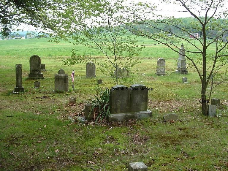
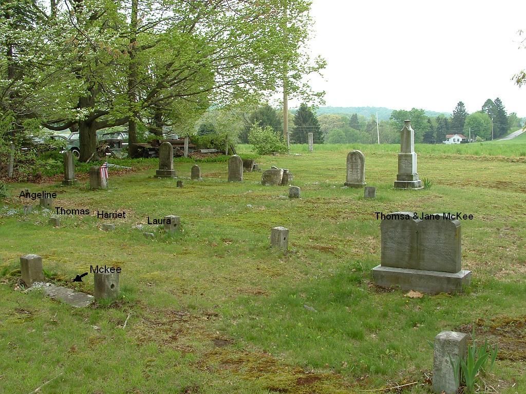
| Memorials | : | 1 |
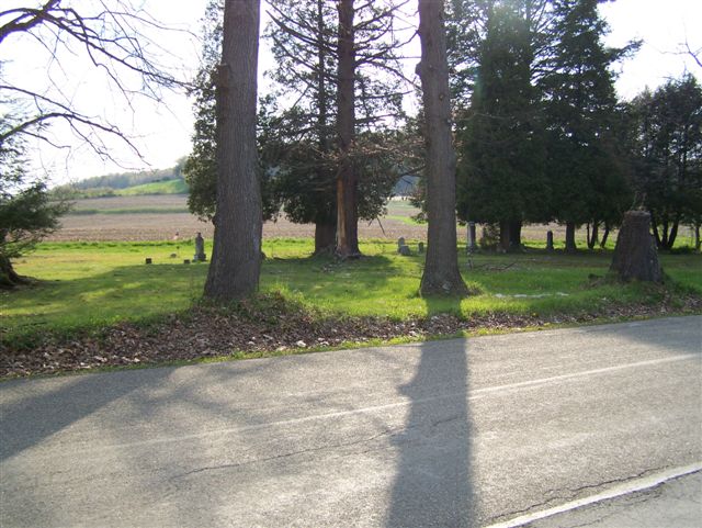
| Location | : | Cochrans Mills, Armstrong County, USA |
| Coordinate | : | 40.6697655, -79.4726105 |
| Description | : | Driving Directions: From the bridge, in North Vandergrift, Armstrong County, PA, drive North on State Route ALTERNATE 66 (not PA 66)for a total of 5.85 miles, to the intersection of Cochran's Mill Road. (On some maps this road is listed as Hilty Road, but that is an error...to aid in this determination, Grantz Hollow Road is opposite Cochran's Mill Road, on Alternate 66.) At this intersection, turn right and drive 3.3 miles, on Cochran's Mill Road, to the Burrell Township Fire Hall and Municipal building. The cemetery is on your right and it is across the road, from... Read More |
frequently asked questions (FAQ):
-
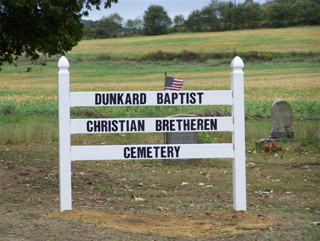
Where is Dunkard Baptist Christian Bretheren Cemetery?
Dunkard Baptist Christian Bretheren Cemetery is located at Cochrans Mills, Armstrong County ,Pennsylvania ,USA.
-
Dunkard Baptist Christian Bretheren Cemetery cemetery's updated grave count on graveviews.com?
1 memorials
-
Where are the coordinates of the Dunkard Baptist Christian Bretheren Cemetery?
Latitude: 40.6697655
Longitude: -79.4726105
Nearby Cemetories:
1. Cochrans Mill United Methodist Church Cemetery
Cochrans Mills, Armstrong County, USA
Coordinate: 40.6706000, -79.4700000
2. Shoemaker Family Cemetery
Cochrans Mills, Armstrong County, USA
Coordinate: 40.6639400, -79.4665790
3. Ramaley Family Cemetery
Cochrans Mills, Armstrong County, USA
Coordinate: 40.6574780, -79.4585220
4. Saint Michael's Lutheran Church Cemetery
Brick Church, Armstrong County, USA
Coordinate: 40.6831360, -79.4557114
5. McDonald Cemetery
Burrell Township, Armstrong County, USA
Coordinate: 40.6603012, -79.4464035
6. Shellhammer Cemetery
Mateer, Armstrong County, USA
Coordinate: 40.6420000, -79.4887000
7. Shellhammer-Beck Cemetery
Mateer, Armstrong County, USA
Coordinate: 40.6394230, -79.4799040
8. Shaeffer Cemetery
Brick Church, Armstrong County, USA
Coordinate: 40.6927986, -79.4441986
9. Porter Cemetery
Armstrong County, USA
Coordinate: 40.6618996, -79.5147018
10. Shellhammer Cemetery
Mateer, Armstrong County, USA
Coordinate: 40.6404860, -79.4944850
11. Mount Zion United Methodist Church Cemetery
Girty, Armstrong County, USA
Coordinate: 40.6555710, -79.4134674
12. Shotts Cemetery
Armstrong County, USA
Coordinate: 40.7186012, -79.4753036
13. Highfield Lutheran Church Cemetery
North Vandergrift, Armstrong County, USA
Coordinate: 40.6392441, -79.5245590
14. Saint John's Lutheran Church Cemetery
Ford City, Armstrong County, USA
Coordinate: 40.7197037, -79.4614410
15. Bethel Lutheran Church Cemetery
Ford City, Armstrong County, USA
Coordinate: 40.6969290, -79.5336720
16. Crooked Creek Presbyterian Cemetery
Ford City, Armstrong County, USA
Coordinate: 40.7104000, -79.5197000
17. Rupert Cemetery
Girty, Armstrong County, USA
Coordinate: 40.6596550, -79.4020500
18. Rowley Cemetery
Elderton, Armstrong County, USA
Coordinate: 40.6889750, -79.4027500
19. Smail Family Cemetery
North Vandergrift, Armstrong County, USA
Coordinate: 40.6781730, -79.5466050
20. Fairview Cemetery
Spring Church, Armstrong County, USA
Coordinate: 40.6075000, -79.4899000
21. Spring Church Joint Cemetery
Spring Church, Armstrong County, USA
Coordinate: 40.6069000, -79.4902000
22. Spring Church Lutheran Church Cemetery
Spring Church, Armstrong County, USA
Coordinate: 40.6067009, -79.4916992
23. United Rockville Lutheran Cemetery
Ford City, Armstrong County, USA
Coordinate: 40.7305260, -79.4382095
24. Oakland Methodist Cemetery
Ford City, Armstrong County, USA
Coordinate: 40.7217865, -79.5342789