
| Memorials | : | 0 |
| Location | : | Cochrans Mills, Armstrong County, USA |
| Coordinate | : | 40.6639400, -79.4665790 |
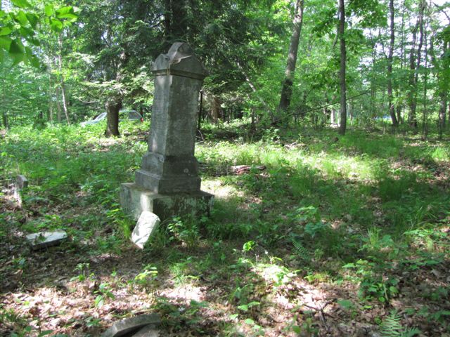
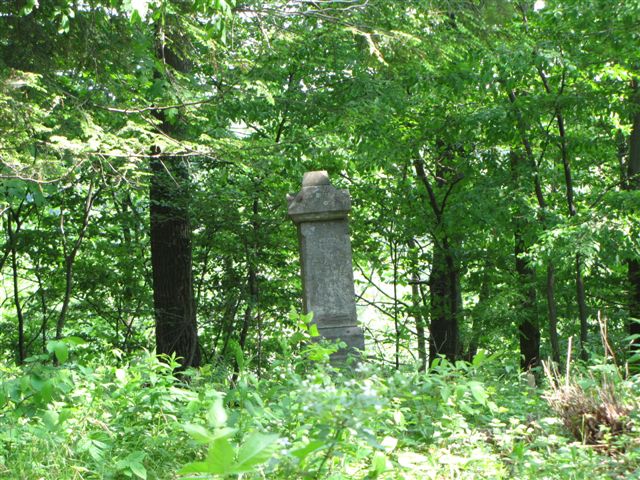
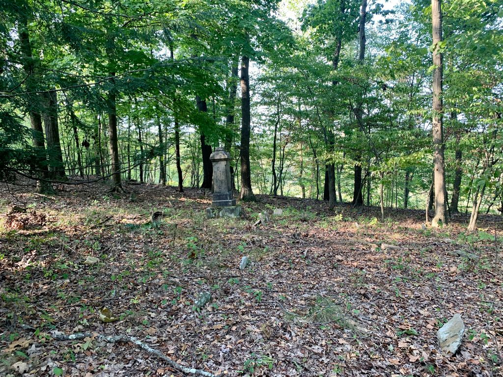
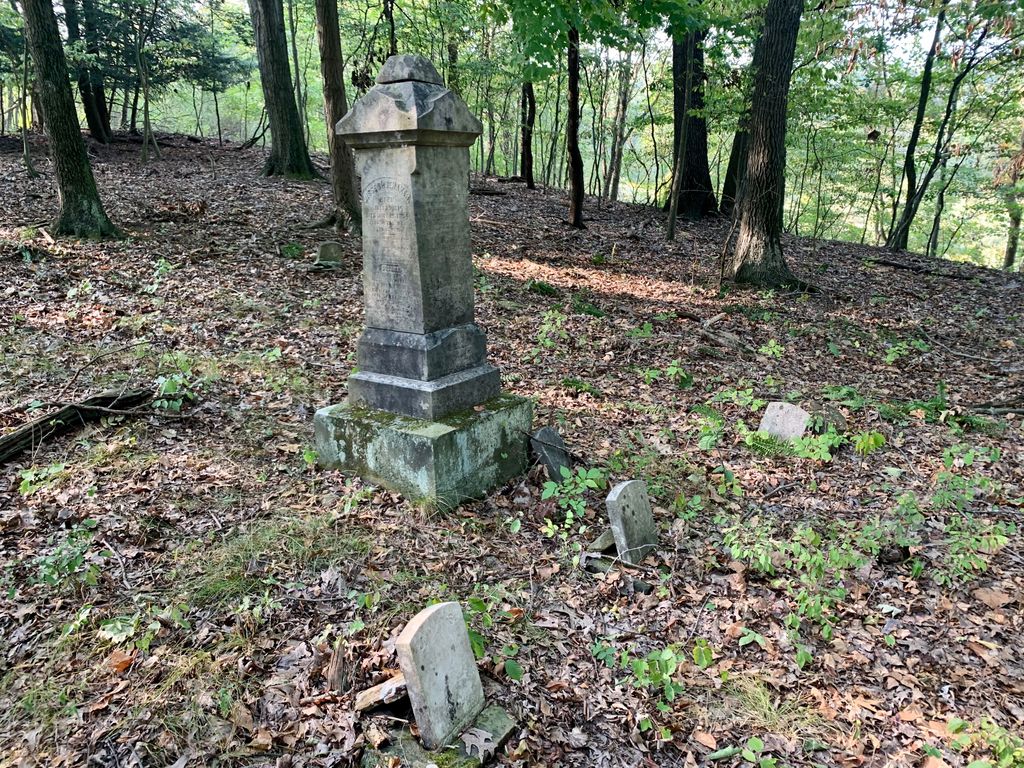
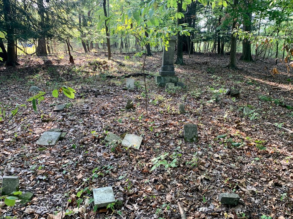
| Description | : | This cemetery is also recorded in other sources and it is located in Burrell Township, Armstrong County, PA. It is in the small, unpopulated, place, which is known as Cochran's Mill and is certainly well off the beaten path… Directions: From the bridge in North Vandergrift, PA, drive on ALTERNATE Route 66 North, a total distance of 5.79 miles to the intersection of Cochran's Mill Road, on the right and Grantz Hollow Road on the left. (This Cochran's Mill Road is often mistakenly listed as Hilty Road on some GPS or Road Atlas maps.) Turn right onto Cochran's Mill... Read More |
frequently asked questions (FAQ):
-
Where is Shoemaker Family Cemetery?
Shoemaker Family Cemetery is located at Cochrans Mills, Armstrong County ,Pennsylvania ,USA.
-
Shoemaker Family Cemetery cemetery's updated grave count on graveviews.com?
0 memorials
-
Where are the coordinates of the Shoemaker Family Cemetery?
Latitude: 40.6639400
Longitude: -79.4665790
Nearby Cemetories:
1. Cochrans Mill United Methodist Church Cemetery
Cochrans Mills, Armstrong County, USA
Coordinate: 40.6706000, -79.4700000
2. Dunkard Baptist Christian Bretheren Cemetery
Cochrans Mills, Armstrong County, USA
Coordinate: 40.6697655, -79.4726105
3. Ramaley Family Cemetery
Cochrans Mills, Armstrong County, USA
Coordinate: 40.6574780, -79.4585220
4. McDonald Cemetery
Burrell Township, Armstrong County, USA
Coordinate: 40.6603012, -79.4464035
5. Saint Michael's Lutheran Church Cemetery
Brick Church, Armstrong County, USA
Coordinate: 40.6831360, -79.4557114
6. Shellhammer-Beck Cemetery
Mateer, Armstrong County, USA
Coordinate: 40.6394230, -79.4799040
7. Shellhammer Cemetery
Mateer, Armstrong County, USA
Coordinate: 40.6420000, -79.4887000
8. Shellhammer Cemetery
Mateer, Armstrong County, USA
Coordinate: 40.6404860, -79.4944850
9. Shaeffer Cemetery
Brick Church, Armstrong County, USA
Coordinate: 40.6927986, -79.4441986
10. Porter Cemetery
Armstrong County, USA
Coordinate: 40.6618996, -79.5147018
11. Mount Zion United Methodist Church Cemetery
Girty, Armstrong County, USA
Coordinate: 40.6555710, -79.4134674
12. Rupert Cemetery
Girty, Armstrong County, USA
Coordinate: 40.6596550, -79.4020500
13. Highfield Lutheran Church Cemetery
North Vandergrift, Armstrong County, USA
Coordinate: 40.6392441, -79.5245590
14. Rowley Cemetery
Elderton, Armstrong County, USA
Coordinate: 40.6889750, -79.4027500
15. Shotts Cemetery
Armstrong County, USA
Coordinate: 40.7186012, -79.4753036
16. Saint John's Lutheran Church Cemetery
Ford City, Armstrong County, USA
Coordinate: 40.7197037, -79.4614410
17. Fairview Cemetery
Spring Church, Armstrong County, USA
Coordinate: 40.6075000, -79.4899000
18. Spring Church Joint Cemetery
Spring Church, Armstrong County, USA
Coordinate: 40.6069000, -79.4902000
19. Spring Church Lutheran Church Cemetery
Spring Church, Armstrong County, USA
Coordinate: 40.6067009, -79.4916992
20. Bethel Lutheran Church Cemetery
Ford City, Armstrong County, USA
Coordinate: 40.6969290, -79.5336720
21. Crooked Creek Presbyterian Cemetery
Ford City, Armstrong County, USA
Coordinate: 40.7104000, -79.5197000
22. Smail Family Cemetery
North Vandergrift, Armstrong County, USA
Coordinate: 40.6781730, -79.5466050
23. United Rockville Lutheran Cemetery
Ford City, Armstrong County, USA
Coordinate: 40.7305260, -79.4382095
24. Mount Union Lutheran Church Cemetery
Elderton, Armstrong County, USA
Coordinate: 40.6876678, -79.3781967