
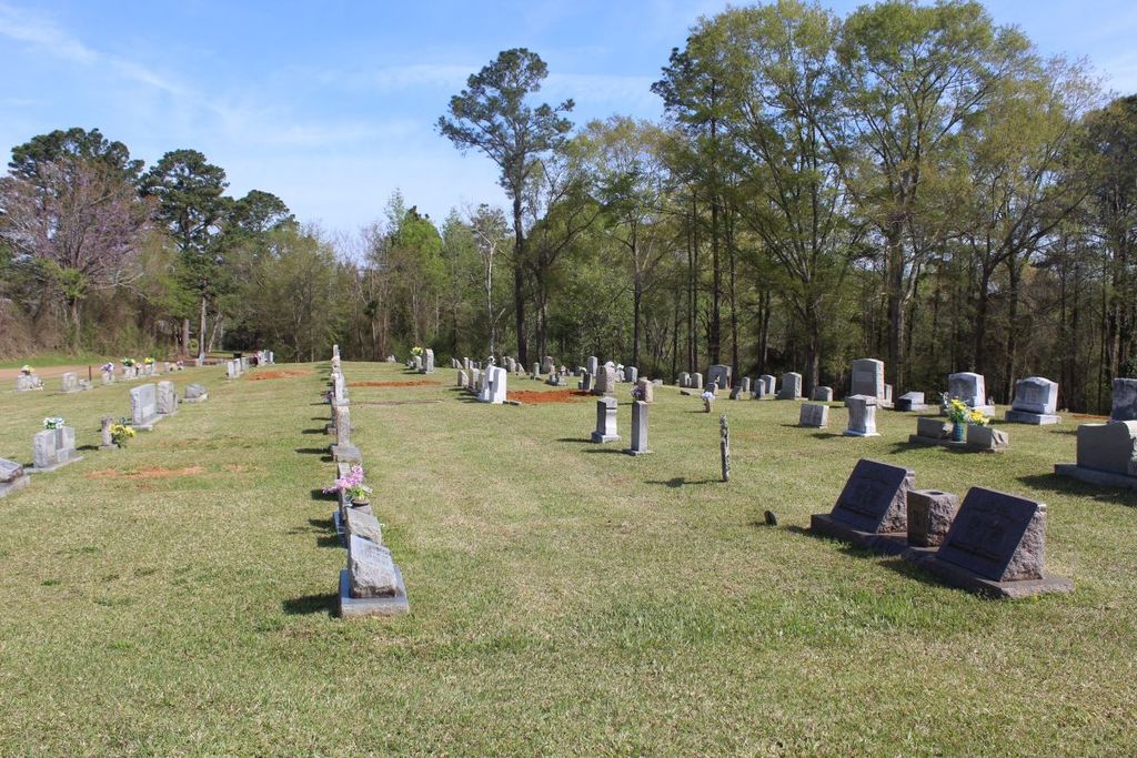
| Memorials | : | 1 |
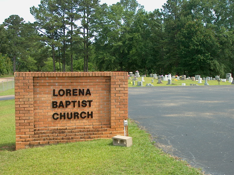
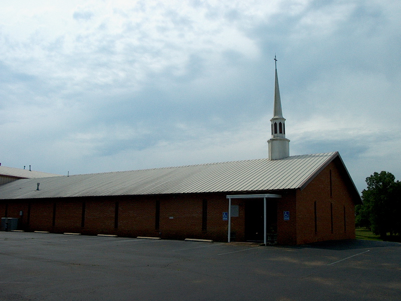
| Location | : | Lorena, Smith County, USA |
| Coordinate | : | 32.1917890, -89.5061570 |
| Description | : | From Raleigh, MS proceed North on Mississippi Highway 35 (MS 35) 11.2 miles to the intersection of Smith County Road 35-18 (SCR 35-18 aka Old Mississippi 35.) Turn Right (East) onto SCR 35-18 and continue six tenths of a mile. Cemetery will be on Right (East) side of road, specifically NW1/4 NW1/4, S17, T4N-R8E, Smith, Homewood Quadrangle map USNG 16S BA 63741 64448. |
frequently asked questions (FAQ):
-
Where is Lorena Baptist Church Cemetery?
Lorena Baptist Church Cemetery is located at 490 Smith County Road 35-18 Lorena, Smith County ,Mississippi , 39152USA.
-
Lorena Baptist Church Cemetery cemetery's updated grave count on graveviews.com?
1 memorials
-
Where are the coordinates of the Lorena Baptist Church Cemetery?
Latitude: 32.1917890
Longitude: -89.5061570
Nearby Cemetories:
1. Lorena Baptist Church Extension Cemetery
Smith County, USA
Coordinate: 32.1976340, -89.5059530
2. Union Grove Cemetery
Smith County, USA
Coordinate: 32.1888520, -89.4801290
3. Gasque Chapel Cemetery
Smith County, USA
Coordinate: 32.1793540, -89.5297340
4. Good Hope Cemetery
Smith County, USA
Coordinate: 32.1613100, -89.5345100
5. Noblin Cemetery
Forest, Scott County, USA
Coordinate: 32.2310210, -89.4952380
6. Luther Chapel Lutheran Church Cemetery
Lingle, Smith County, USA
Coordinate: 32.2183500, -89.5443800
7. Mount Carmel Cemetery
Smith County, USA
Coordinate: 32.1748200, -89.4593010
8. Bethel Baptist Church Cemetery
Smith County, USA
Coordinate: 32.1830920, -89.5565660
9. Homewood Methodist Church Cemetery
Forest, Scott County, USA
Coordinate: 32.2410500, -89.5046000
10. Goodwater Baptist Church Cemetery
Smith County, USA
Coordinate: 32.1415200, -89.5027900
11. Roberts Cemetery
Smith County, USA
Coordinate: 32.1968100, -89.5688000
12. Lingle Cemetery
Lingle, Smith County, USA
Coordinate: 32.2091200, -89.5731800
13. Black Cemetery
Smith County, USA
Coordinate: 32.2098070, -89.5739170
14. Luther Chapel Cemetery
Pulaski, Scott County, USA
Coordinate: 32.2405100, -89.5511900
15. Burns Baptist Church Cemetery
Raleigh, Smith County, USA
Coordinate: 32.1321880, -89.5384430
16. Barber Cemetery
Raleigh, Smith County, USA
Coordinate: 32.1321810, -89.5385960
17. Burns United Methodist Church Cemetery
Burns, Smith County, USA
Coordinate: 32.1310501, -89.5399399
18. Providence Cemetery
Burns, Smith County, USA
Coordinate: 32.1357400, -89.5528600
19. Henderson Family Cemetery
Smith County, USA
Coordinate: 32.1207008, -89.5181122
20. Derrick Cemetery
Smith County, USA
Coordinate: 32.1484800, -89.5742400
21. Old Henderson Cemetery
Smith County, USA
Coordinate: 32.1199100, -89.4919700
22. Lemon Christian Cemetery
Raleigh, Smith County, USA
Coordinate: 32.1225570, -89.4748020
23. Crout Sisters Cemetery
Scott County, USA
Coordinate: 32.2421800, -89.4403800
24. Zion Cemetery
Smith County, USA
Coordinate: 32.1689700, -89.5918000