| Memorials | : | 0 |
| Location | : | Reesedale, Armstrong County, USA |
| Coordinate | : | 40.9297750, -79.4706770 |
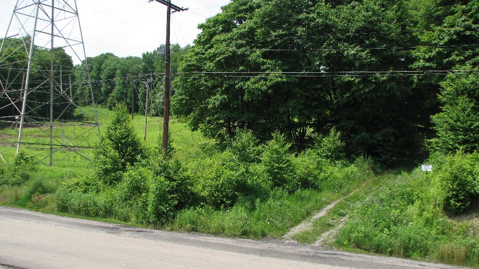
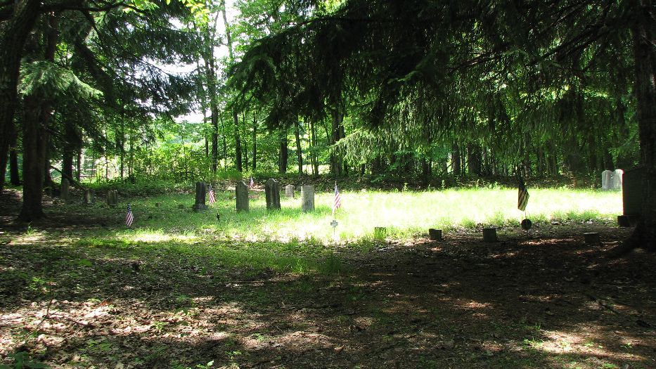
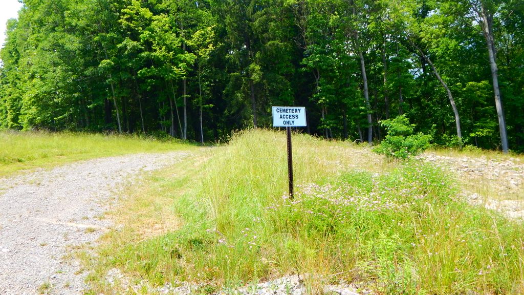
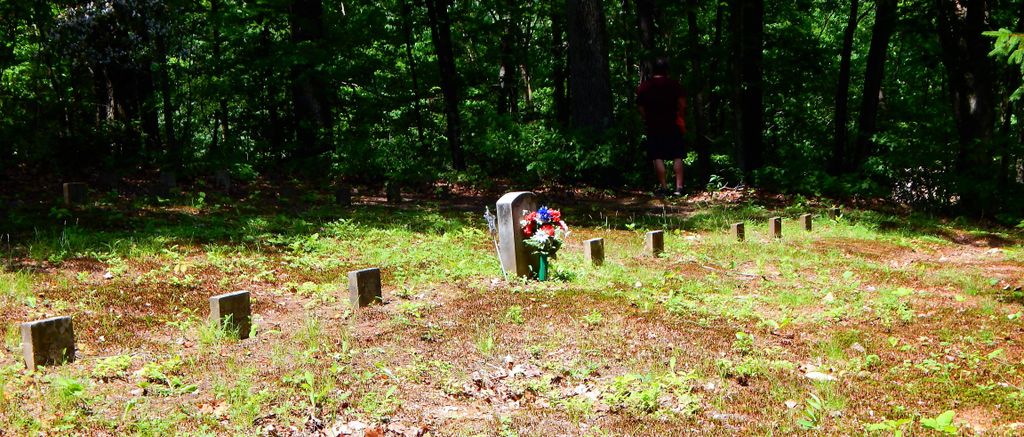
| Description | : | Toy Cemetery is located in Washington Township in Armstrong County, Pennsylvania. The name "Toy Cemetery" was given to me by a local person, although I saw only one individual named TOY buried in the cemetery. The most common surname seems to be WOLFE. There are about 50 marked graves. Directions: From the town of Adrian, travel east on Reesedale Road all the way to the Power Plant. I'm not sure of the distance, but it is perhaps five miles. Reesedale Road dead-ends at the power plant. As you drive straight toward the power plant on the concrete Reesedale Road, just ... Read More |
frequently asked questions (FAQ):
-
Where is Toy Cemetery?
Toy Cemetery is located at Reesedale, Armstrong County ,Pennsylvania ,USA.
-
Toy Cemetery cemetery's updated grave count on graveviews.com?
0 memorials
-
Where are the coordinates of the Toy Cemetery?
Latitude: 40.9297750
Longitude: -79.4706770
Nearby Cemetories:
1. Bell Town Road Cemetery
Templeton, Armstrong County, USA
Coordinate: 40.9243110, -79.4624050
2. Walthour Cemetery
Reesedale, Armstrong County, USA
Coordinate: 40.9379000, -79.4756000
3. Stewardson Furnace Cemetery
Armstrong County, USA
Coordinate: 40.9331510, -79.4421280
4. Rimer Hill Cemetery
Armstrong County, USA
Coordinate: 40.9398130, -79.4990980
5. Tidal Cemetery
Tidal, Armstrong County, USA
Coordinate: 40.9582520, -79.4990020
6. John Cemetery
Frenchs Corners, Armstrong County, USA
Coordinate: 40.9003296, -79.4978409
7. Cochran Cemetery
Templeton, Armstrong County, USA
Coordinate: 40.8941994, -79.4582977
8. Brush Valley Cemetery
Adrian, Armstrong County, USA
Coordinate: 40.9044000, -79.5062000
9. Old Earley Family Graveyard
Rimer, Armstrong County, USA
Coordinate: 40.9361115, -79.5255585
10. Toy Family Cemetery
Adrian, Armstrong County, USA
Coordinate: 40.8971130, -79.5082120
11. Limestone Church of God Cemetery
Adrian, Armstrong County, USA
Coordinate: 40.8968887, -79.5180740
12. Bowser Cemetery
Morrows Corner, Armstrong County, USA
Coordinate: 40.9185070, -79.5341170
13. Kellersburg Lutheran Cemetery
Kellersburg, Armstrong County, USA
Coordinate: 40.9704000, -79.4244000
14. Kellersburg Methodist Cemetery
Kellersburg, Armstrong County, USA
Coordinate: 40.9752000, -79.4240000
15. Duncan Cemetery
Armstrong County, USA
Coordinate: 40.9884750, -79.4727370
16. Croyle Cemetery
Adrian, Armstrong County, USA
Coordinate: 40.8782997, -79.5108032
17. Saint Mark's Lutheran Church Cemetery
Adrian, Armstrong County, USA
Coordinate: 40.8960152, -79.5370865
18. Deanville Cemetery
Deanville, Armstrong County, USA
Coordinate: 40.9517700, -79.3919170
19. Sherrett Cemetery
Sherrett, Armstrong County, USA
Coordinate: 40.9329185, -79.5553360
20. Montgomeryville Baptist Church Cemetery
Adrian, Armstrong County, USA
Coordinate: 40.8866615, -79.5376434
21. Saint Mary's Episcopal Cemetery
Armstrong County, USA
Coordinate: 40.9718630, -79.5398680
22. Crissman Family Cemetery
Adrian, Armstrong County, USA
Coordinate: 40.8877490, -79.5402750
23. Lower Piney Cemetery
Armstrong County, USA
Coordinate: 40.8655920, -79.4395400
24. Mateer Cemetery
Armstrong County, USA
Coordinate: 40.8721000, -79.4175000


