
| Memorials | : | 0 |
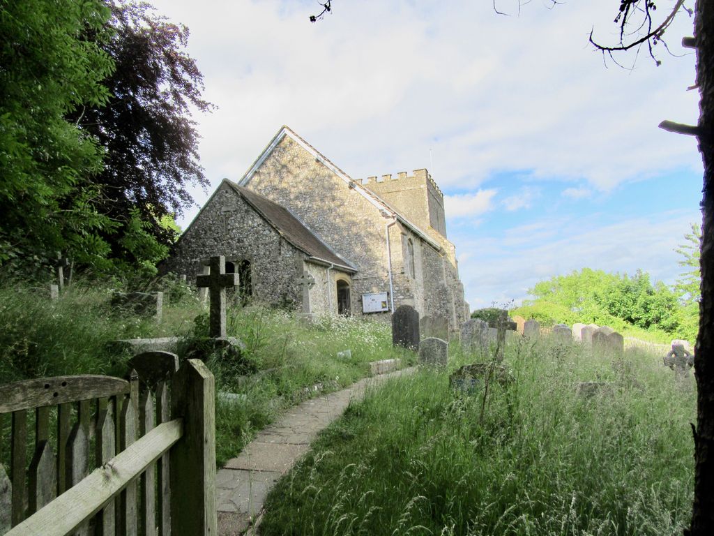
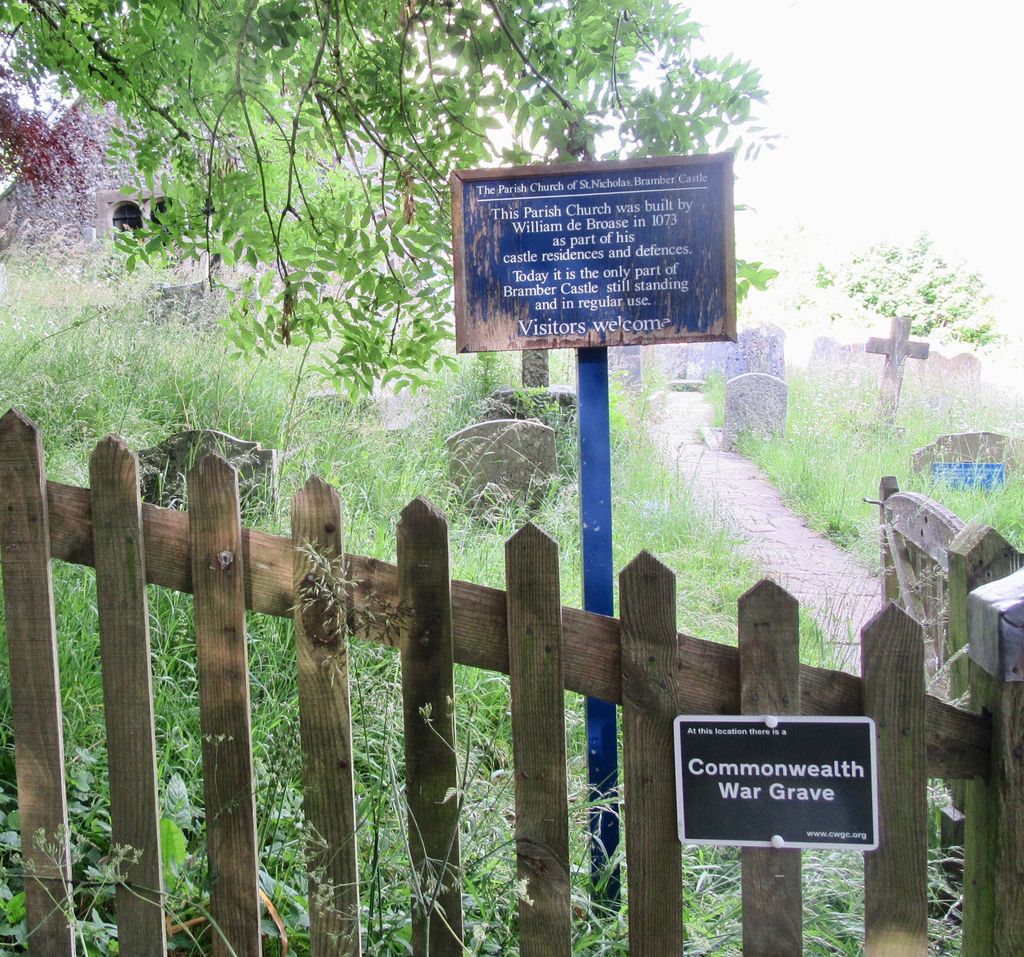
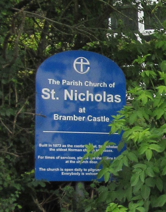
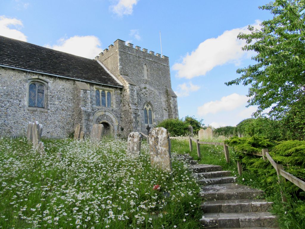
| Location | : | Bramber, Horsham District, England |
| Coordinate | : | 50.8828660, -0.3153580 |
| Description | : | Bramber is a village and civil parish in the Horsham District of West Sussex, England. It is located on the northern edge of the South Downs and on the west side of the River Adur. |
frequently asked questions (FAQ):
-
Where is St Nicholas Churchyard?
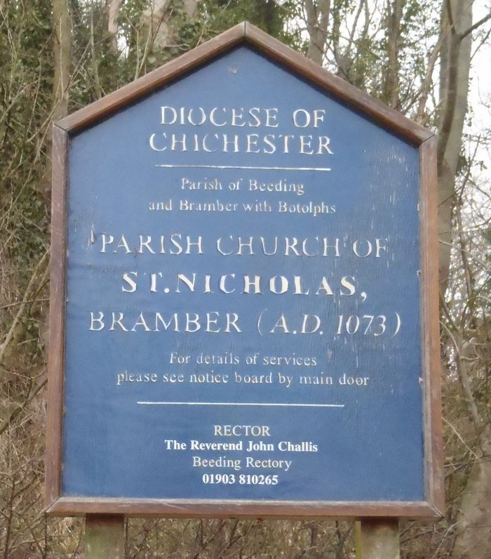
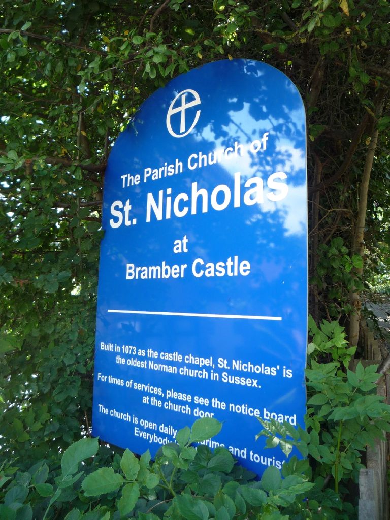
St Nicholas Churchyard is located at Bramber Castle/ Castle Lane Bramber, Horsham District ,West Sussex , BN44 3WEEngland.
-
St Nicholas Churchyard cemetery's updated grave count on graveviews.com?
0 memorials
-
Where are the coordinates of the St Nicholas Churchyard?
Latitude: 50.8828660
Longitude: -0.3153580


Nearby Cemetories:
1. St Peter Churchyard
Upper Beeding, Horsham District, England
Coordinate: 50.8873530, -0.3056540
2. St Andrew and St Cuthman Churchyard
Steyning, Horsham District, England
Coordinate: 50.8900700, -0.3250280
3. St Botolph's
Boto By, Guldborgsund Kommune, Denmark
Coordinate: 50.8704488, -0.3049848
4. Botolph Cemetery
Steyning, Horsham District, England
Coordinate: 50.8698470, -0.3051070
5. Coombes Churchyard
Coombes, Adur District, England
Coordinate: 50.8611730, -0.3082180
6. St Mary Churchyard
Wiston, Horsham District, England
Coordinate: 50.8995280, -0.3582890
7. Landing College Chapel
Lancing, Adur District, England
Coordinate: 50.8459798, -0.3042240
8. Lancing and Sompting Cemetery
Lancing, Adur District, England
Coordinate: 50.8405270, -0.3280020
9. St. James the Less Churchyard
Lancing, Adur District, England
Coordinate: 50.8378170, -0.3226110
10. St. Nicolas' Churchyard
Old Shoreham, Adur District, England
Coordinate: 50.8407940, -0.2856690
11. St James the Less Churchyard Extension
Lancing, Adur District, England
Coordinate: 50.8367330, -0.3239250
12. All Saints Churchyard
Wiston, Horsham District, England
Coordinate: 50.9132350, -0.3725910
13. St. Mary's Churchyard
Sompting, Adur District, England
Coordinate: 50.8386030, -0.3518740
14. Mill Lane Cemetery
Shoreham-by-Sea, Adur District, England
Coordinate: 50.8378990, -0.2783270
15. St James Churchyard
Ashurst, Horsham District, England
Coordinate: 50.9347992, -0.3273070
16. St Peter's Churchyard
Henfield, Horsham District, England
Coordinate: 50.9323340, -0.2762030
17. St Peter's Churchyard
Woodmancote, Horsham District, England
Coordinate: 50.9213180, -0.2497350
18. Henfield Cemetery
Henfield, Horsham District, England
Coordinate: 50.9342000, -0.2764400
19. Worthing Crematorium
Findon, Arun District, England
Coordinate: 50.8728370, -0.4085170
20. Findon Cemetery
Findon, Arun District, England
Coordinate: 50.8678500, -0.4100500
21. St Mary's Churchyard Extension
Washington, Horsham District, England
Coordinate: 50.9036269, -0.4089782
22. St. Mary's Parish Churchyard
Washington, Horsham District, England
Coordinate: 50.9043450, -0.4103140
23. St John the Baptist Churchyard
Findon, Arun District, England
Coordinate: 50.8650400, -0.4148790
24. St. Julian's Churchyard
Shoreham-by-Sea, Adur District, England
Coordinate: 50.8340600, -0.2465500