
| Memorials | : | 0 |
| Location | : | Upper Beeding, Horsham District, England |
| Coordinate | : | 50.8873530, -0.3056540 |
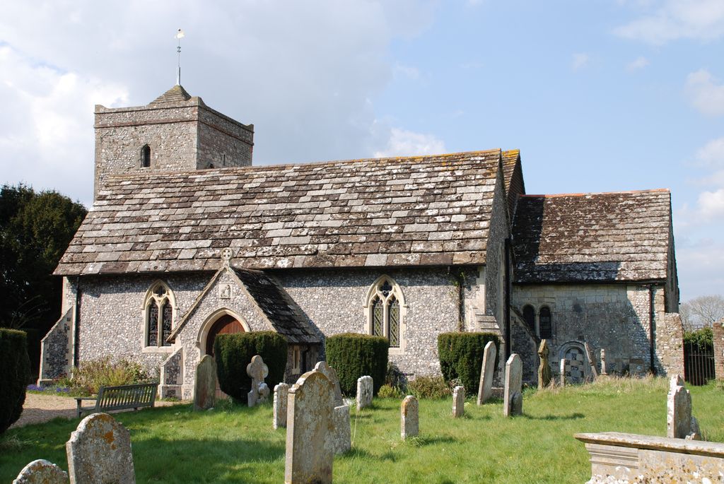
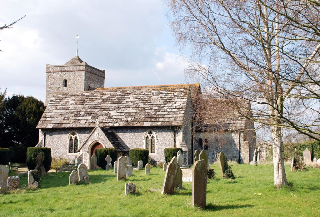
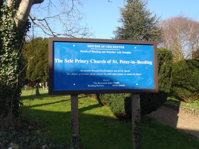
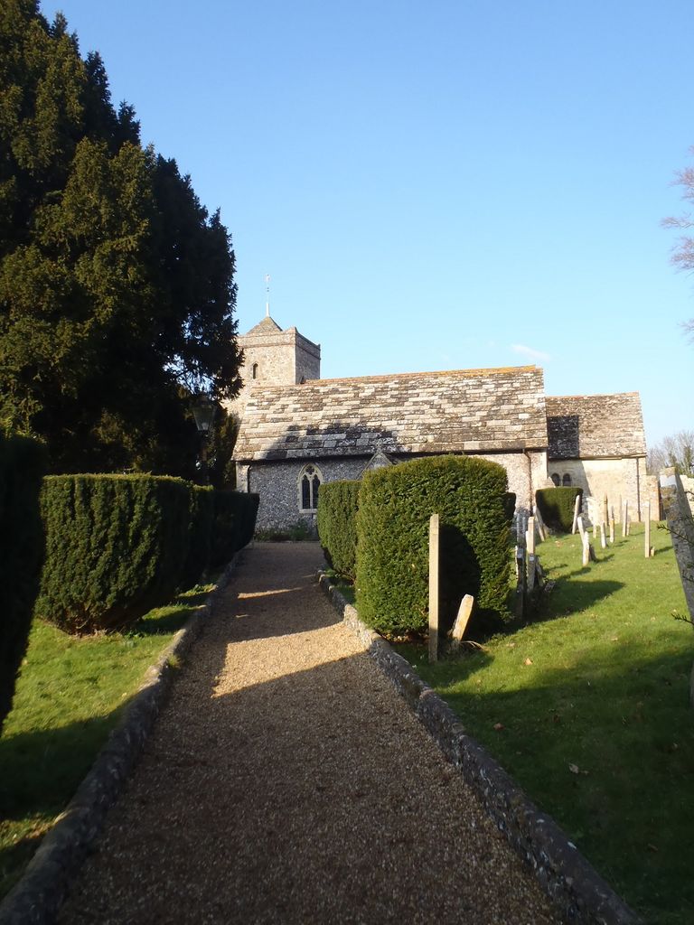
| Description | : | Upper Beeding is a village and civil parish in the Horsham District of West Sussex, England. The community was originally called Beeding, with the civil parish changing to Upper Beeding in modern times. As is common in such cases, the ecclesiastical parish retains the original name (hence it is the parish of Beeding, and the parish church is Beeding Church). In the early 13th Century the monks of Sele Priory (St Peter's Church, Beeding) began a mission to the area of St Leonard's Forest near Horsham, and established a small mission base, naming it Lower Beeding. Despite being some 10 miles... Read More |
frequently asked questions (FAQ):
-
Where is St Peter Churchyard?
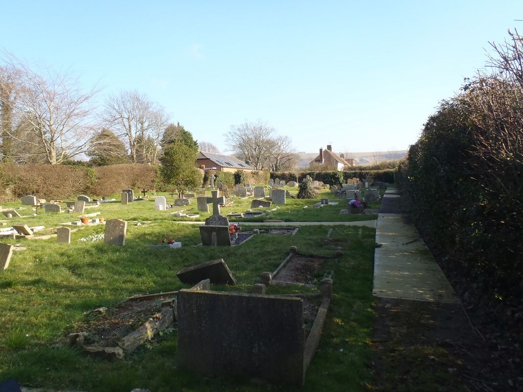
St Peter Churchyard is located at Church Road Upper Beeding, Horsham District ,West Sussex , BN44 3HPEngland.
-
St Peter Churchyard cemetery's updated grave count on graveviews.com?
0 memorials
-
Where are the coordinates of the St Peter Churchyard?
Latitude: 50.8873530
Longitude: -0.3056540


Nearby Cemetories:
1. St Nicholas Churchyard
Bramber, Horsham District, England
Coordinate: 50.8828660, -0.3153580
2. St Andrew and St Cuthman Churchyard
Steyning, Horsham District, England
Coordinate: 50.8900700, -0.3250280
3. St Botolph's
Boto By, Guldborgsund Kommune, Denmark
Coordinate: 50.8704488, -0.3049848
4. Botolph Cemetery
Steyning, Horsham District, England
Coordinate: 50.8698470, -0.3051070
5. Coombes Churchyard
Coombes, Adur District, England
Coordinate: 50.8611730, -0.3082180
6. St Mary Churchyard
Wiston, Horsham District, England
Coordinate: 50.8995280, -0.3582890
7. Landing College Chapel
Lancing, Adur District, England
Coordinate: 50.8459798, -0.3042240
8. St. Nicolas' Churchyard
Old Shoreham, Adur District, England
Coordinate: 50.8407940, -0.2856690
9. St Peter's Churchyard
Henfield, Horsham District, England
Coordinate: 50.9323340, -0.2762030
10. Lancing and Sompting Cemetery
Lancing, Adur District, England
Coordinate: 50.8405270, -0.3280020
11. St Peter's Churchyard
Woodmancote, Horsham District, England
Coordinate: 50.9213180, -0.2497350
12. St James Churchyard
Ashurst, Horsham District, England
Coordinate: 50.9347992, -0.3273070
13. All Saints Churchyard
Wiston, Horsham District, England
Coordinate: 50.9132350, -0.3725910
14. Henfield Cemetery
Henfield, Horsham District, England
Coordinate: 50.9342000, -0.2764400
15. St. James the Less Churchyard
Lancing, Adur District, England
Coordinate: 50.8378170, -0.3226110
16. St James the Less Churchyard Extension
Lancing, Adur District, England
Coordinate: 50.8367330, -0.3239250
17. Mill Lane Cemetery
Shoreham-by-Sea, Adur District, England
Coordinate: 50.8378990, -0.2783270
18. St. Mary's Churchyard
Sompting, Adur District, England
Coordinate: 50.8386030, -0.3518740
19. Southwick Cemetery
Southwick, Adur District, England
Coordinate: 50.8429050, -0.2316730
20. St. Julian's Churchyard
Shoreham-by-Sea, Adur District, England
Coordinate: 50.8340600, -0.2465500
21. Poynings Cemetery
Poynings, Mid Sussex District, England
Coordinate: 50.8931150, -0.2024450
22. St. Michael & All Angels Churchyard
Southwick, Adur District, England
Coordinate: 50.8348240, -0.2411970
23. Worthing Crematorium
Findon, Arun District, England
Coordinate: 50.8728370, -0.4085170
24. St Mary's Churchyard Extension
Washington, Horsham District, England
Coordinate: 50.9036269, -0.4089782