
| Memorials | : | 3 |
| Location | : | Ardley, Cherwell District, England |
| Coordinate | : | 51.9422140, -1.2122580 |
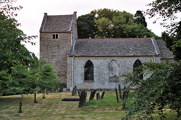
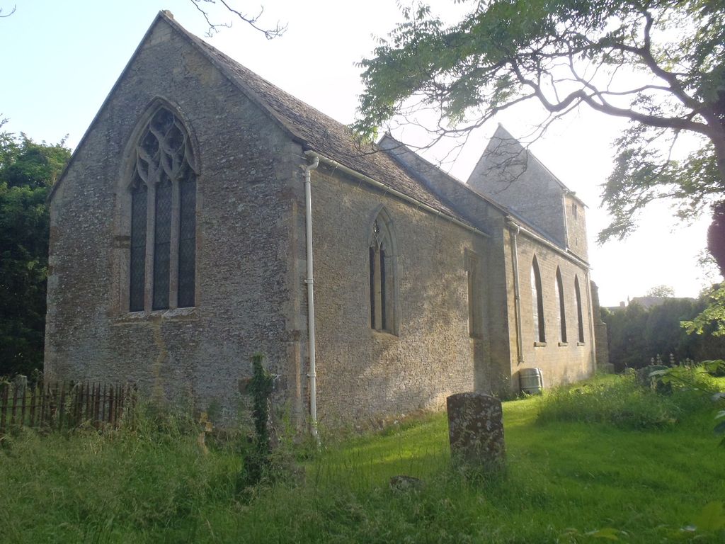
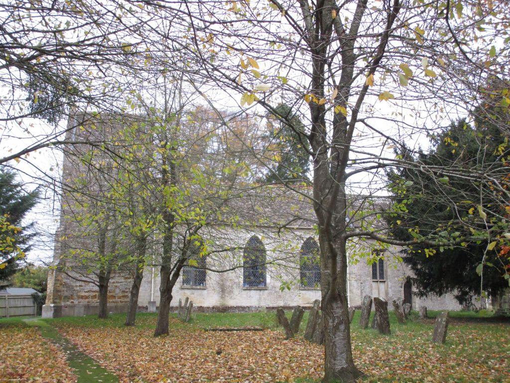
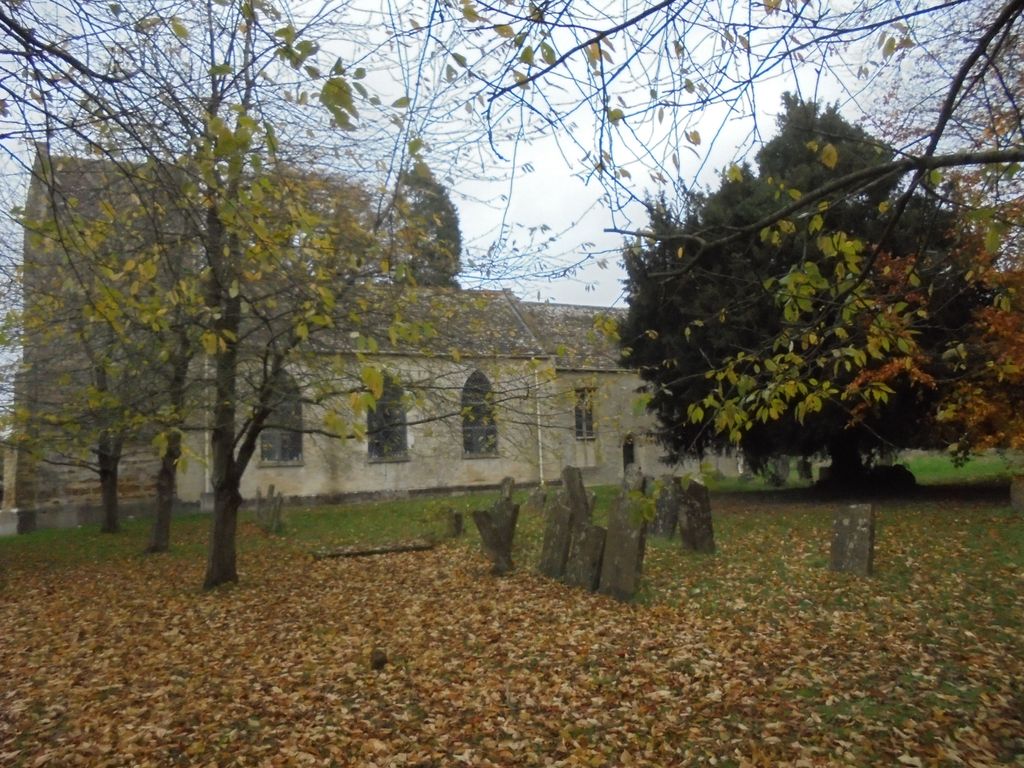
| Description | : | Ardley is a village in Ardley with Fewcott civil parish in Oxfordshire, England, about 4 miles northwest of Bicester. The parish includes the village of Fewcott that is now contiguous with Ardley. The Church of England parish church of Saint Mary dates from at least 1074. The original church was demolished and completely rebuilt, but both the chancel and the bell tower of the present building contain small amounts of re-used Norman stonework. The present Early English Gothic chancel was built late in the 12th or early in the 13th century. The tower has a saddleback roof and may have... Read More |
frequently asked questions (FAQ):
-
Where is St. Mary's Churchyard?
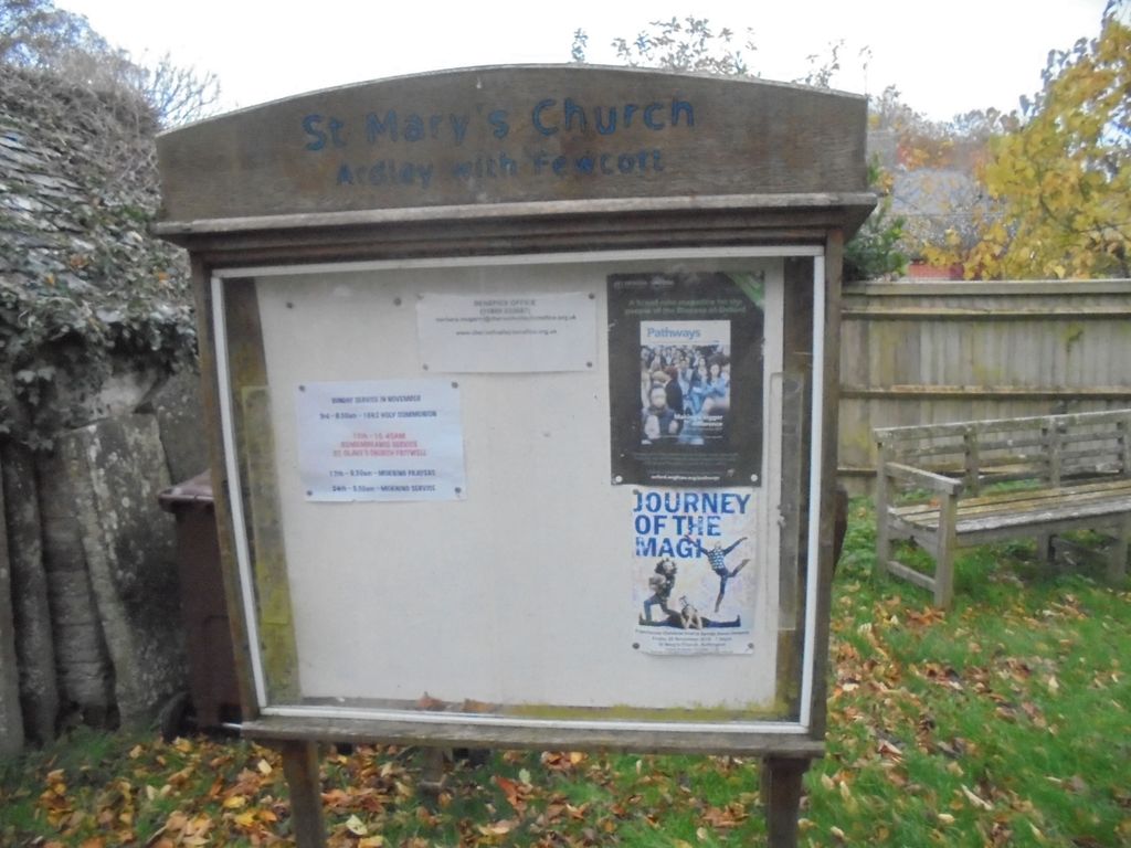
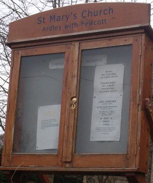
St. Mary's Churchyard is located at Church Road Ardley, Cherwell District ,Oxfordshire , OX27 7NPEngland.
-
St. Mary's Churchyard cemetery's updated grave count on graveviews.com?
3 memorials
-
Where are the coordinates of the St. Mary's Churchyard?
Latitude: 51.9422140
Longitude: -1.2122580

Nearby Cemetories:
1. Fewcott All Saints Churchyard
Albury, South Oxfordshire District, England
Coordinate: 51.9477100, -1.2170700
2. St Peter's Churchyard
Bucknell, Cherwell District, England
Coordinate: 51.9263400, -1.1861700
3. St Peters Churchyard
Stoke Lyne, Cherwell District, England
Coordinate: 51.9505340, -1.1771680
4. St Olave Churchyard
Fritwell, Cherwell District, England
Coordinate: 51.9596980, -1.2381180
5. Fritwell Parish Council Cemetery
Fritwell, Cherwell District, England
Coordinate: 51.9599490, -1.2380650
6. St Mary the Virgin Churchyard
Hardwick, Cherwell District, England
Coordinate: 51.9616750, -1.1615570
7. All Saints Churchyard
Middleton Stoney, Cherwell District, England
Coordinate: 51.9053470, -1.2295300
8. St Laurence Churchyard
Caversfield, Cherwell District, England
Coordinate: 51.9223030, -1.1571690
9. St Mary the Virgin Churchyard
Souldern, Cherwell District, England
Coordinate: 51.9808600, -1.2399900
10. St James Churchyard
Somerton, Cherwell District, England
Coordinate: 51.9539990, -1.2786200
11. Upper Heyford Cemetery
Upper Heyford, Cherwell District, England
Coordinate: 51.9294701, -1.2808000
12. St Marys Churchyard
Upper Heyford, Cherwell District, England
Coordinate: 51.9290710, -1.2819670
13. Holy Trinity Churchyard
Hethe, Cherwell District, England
Coordinate: 51.9615600, -1.1452100
14. St. Edmund and St. George Churchyard
Hethe, Cherwell District, England
Coordinate: 51.9604830, -1.1384690
15. St. Mary's Churchyard
Cottisford, Cherwell District, England
Coordinate: 51.9749070, -1.1464410
16. All Saints Churchyard
Croughton, South Northamptonshire Borough, England
Coordinate: 51.9977370, -1.2065760
17. St Mary Churchyard
Lower Heyford, Cherwell District, England
Coordinate: 51.9202580, -1.2960220
18. St Mary Churchyard
Chesterton, Cherwell District, England
Coordinate: 51.8879880, -1.1851540
19. St Michael Churchyard
Aynho, South Northamptonshire Borough, England
Coordinate: 51.9936080, -1.2522380
20. Bicester Priory
Bicester, Cherwell District, England
Coordinate: 51.9000000, -1.1500000
21. St Marys Churchyard
North Aston, Cherwell District, England
Coordinate: 51.9562960, -1.3020350
22. St Edburg Churchyard
Bicester, Cherwell District, England
Coordinate: 51.8960060, -1.1541930
23. Bicester Town Cemetery
Bicester, Cherwell District, England
Coordinate: 51.8945880, -1.1553730
24. St Michaels and All Angels Churchyard
Fringford, Cherwell District, England
Coordinate: 51.9573680, -1.1189880