
| Memorials | : | 0 |
| Location | : | Gloucester, City of Gloucester, England |
| Coordinate | : | 51.8672800, -2.2496760 |
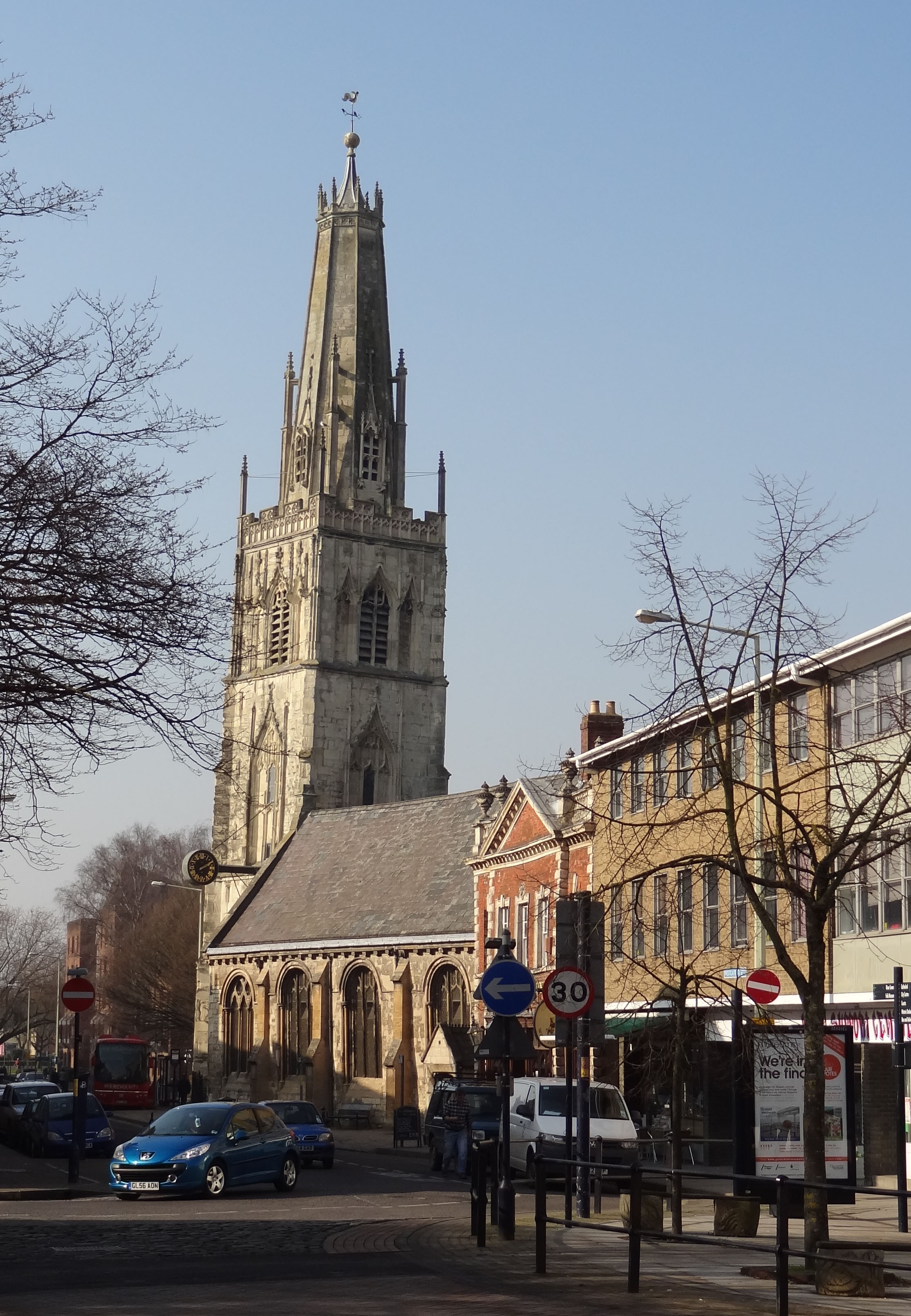
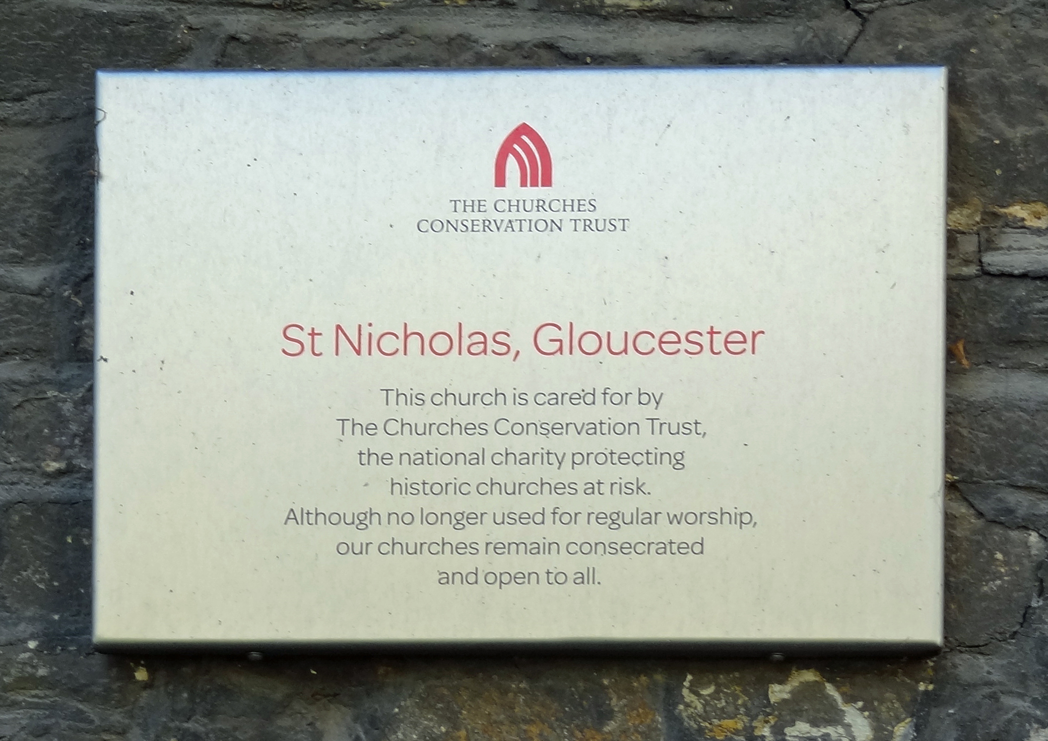
| Description | : | This Medieval church was built for merchant traders beside Gloucester’s (now vanished) west gate. The church is a city landmark, known for its leaning, truncated white stone spire. Damage was caused to the spire by a direct hit by Royalist troops during the Siege of Gloucester in 1643 – and it is now topped with an attractive coronet. The existing church dates back to the 12th century, though most of it was rebuilt in the 13th and larger windows were added later. Formerly one of Gloucester’s most prosperous parish churches many of its wonderful monuments and memorial slabs commemorate... Read More |
frequently asked questions (FAQ):
-
Where is St Nicholas' Church?
St Nicholas' Church is located at Westgate Street Gloucester, City of Gloucester ,Gloucestershire , GL1 2PGEngland.
-
St Nicholas' Church cemetery's updated grave count on graveviews.com?
0 memorials
-
Where are the coordinates of the St Nicholas' Church?
Latitude: 51.8672800
Longitude: -2.2496760
Nearby Cemetories:
1. Gloucester Cathedral
Gloucester, City of Gloucester, England
Coordinate: 51.8675920, -2.2467670
2. Saint Oswald's Priory
Gloucester, City of Gloucester, England
Coordinate: 51.8694000, -2.2478000
3. Llanthony Secunda Priory
Hempsted, City of Gloucester, England
Coordinate: 51.8602130, -2.2572640
4. St Margaret's Chapel
Gloucester, City of Gloucester, England
Coordinate: 51.8686720, -2.2321530
5. Chapel of St Mary Magdalen
Gloucester, City of Gloucester, England
Coordinate: 51.8693000, -2.2291000
6. Saint Catharine's
Gloucester, City of Gloucester, England
Coordinate: 51.8691700, -2.2273500
7. Horton Road Cemetery
Gloucester, City of Gloucester, England
Coordinate: 51.8666900, -2.2268300
8. St. Swithun's Churchyard
Hempsted, City of Gloucester, England
Coordinate: 51.8515740, -2.2719420
9. Gloucester Crematorium
Gloucester, City of Gloucester, England
Coordinate: 51.8538180, -2.2219260
10. Gloucester Old Cemetery
Gloucester, City of Gloucester, England
Coordinate: 51.8482100, -2.2276700
11. St Lawrence Churchyard
Barnwood, City of Gloucester, England
Coordinate: 51.8580470, -2.2069750
12. St. Matthew's Cemetery
Twigworth, Tewkesbury Borough, England
Coordinate: 51.8936090, -2.2307820
13. St. Giles Churchyard
Maisemore, Tewkesbury Borough, England
Coordinate: 51.8931690, -2.2719540
14. Holy Innocents Churchyard
Highnam, Tewkesbury Borough, England
Coordinate: 51.8740890, -2.2970050
15. St. Oswald Churchyard
Lassington, Tewkesbury Borough, England
Coordinate: 51.8884700, -2.2978000
16. Ss Philip and James Churchyard
Hucclecote, Tewkesbury Borough, England
Coordinate: 51.8573040, -2.1876440
17. St Lawrence Churchyard
Sandhurst, Tewkesbury Borough, England
Coordinate: 51.9083260, -2.2489570
18. St. James' Churchyard
Quedgeley, City of Gloucester, England
Coordinate: 51.8257770, -2.2811150
19. St Margaret Church
Whaddon, Stroud District, England
Coordinate: 51.8214600, -2.2433000
20. St. Mary the Virgin Cemetery
Rudford, Forest of Dean District, England
Coordinate: 51.8936272, -2.3213976
21. St. Peter's Churchyard
Minsterworth, Tewkesbury Borough, England
Coordinate: 51.8511500, -2.3307800
22. St. Andrew's Churchyard
Churcham, Forest of Dean District, England
Coordinate: 51.8618970, -2.3375000
23. Hartpury Methodist Churchyard
Hartpury, Forest of Dean District, England
Coordinate: 51.9196444, -2.2883000
24. St George Churchyard
Brockworth, Tewkesbury Borough, England
Coordinate: 51.8517460, -2.1598180