
| Memorials | : | 57 |
| Location | : | Gloucester, City of Gloucester, England |
| Coordinate | : | 51.8482100, -2.2276700 |
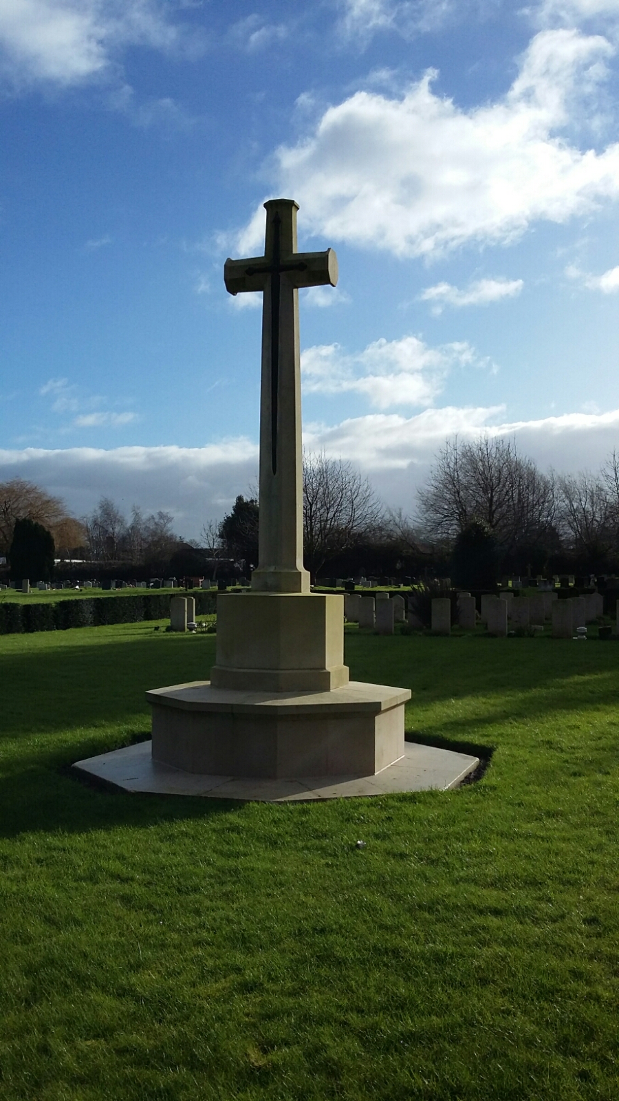
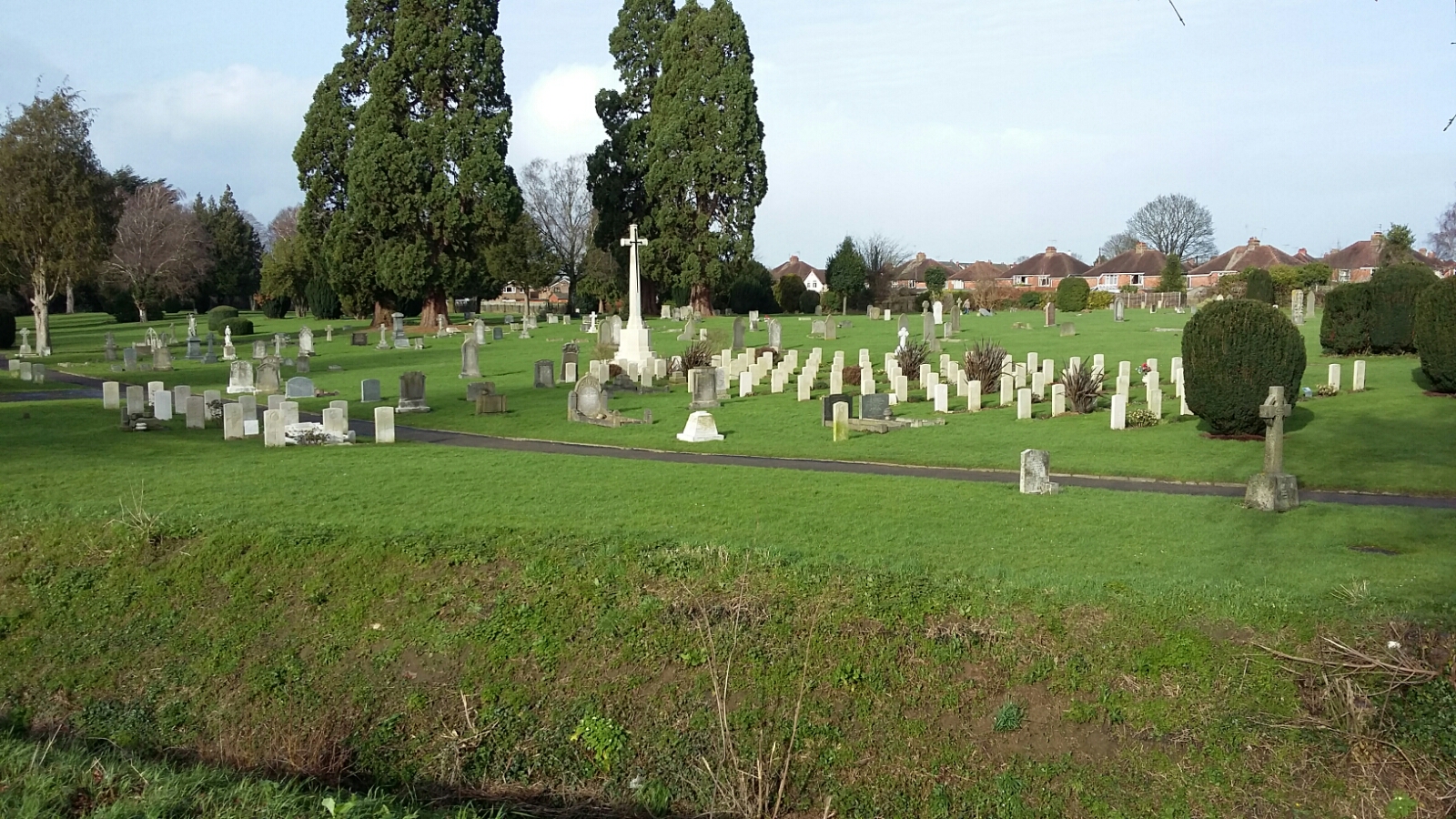
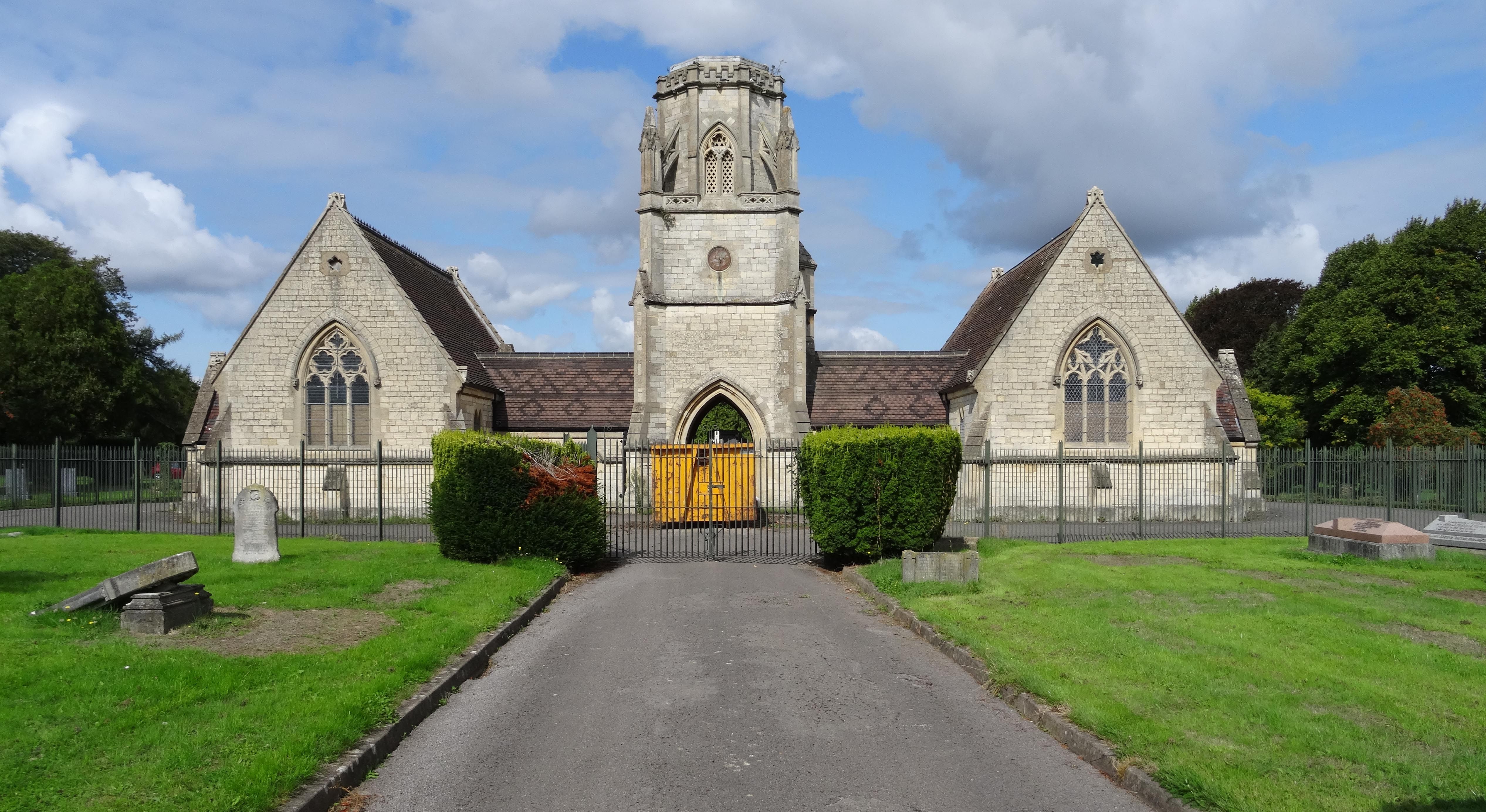
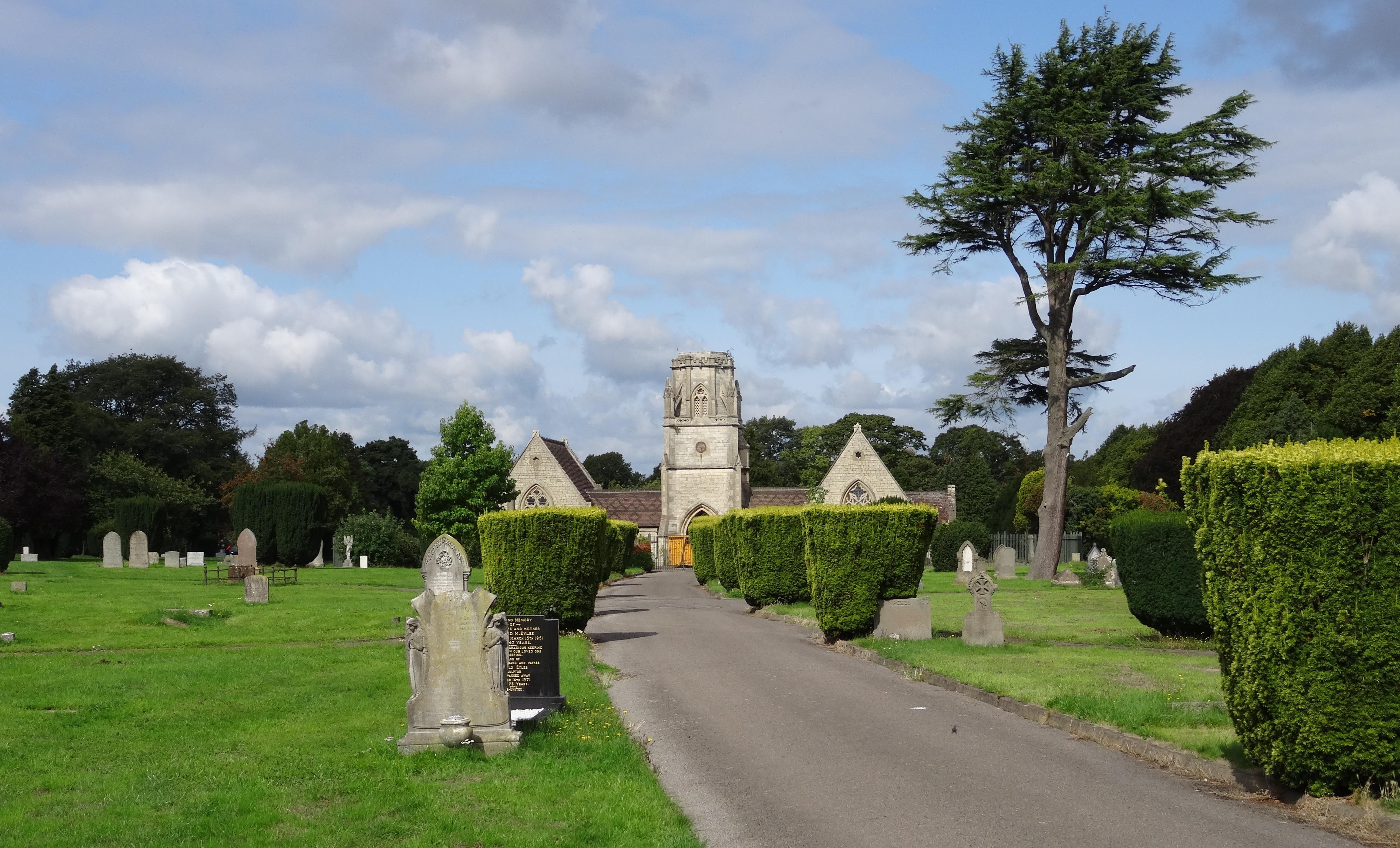
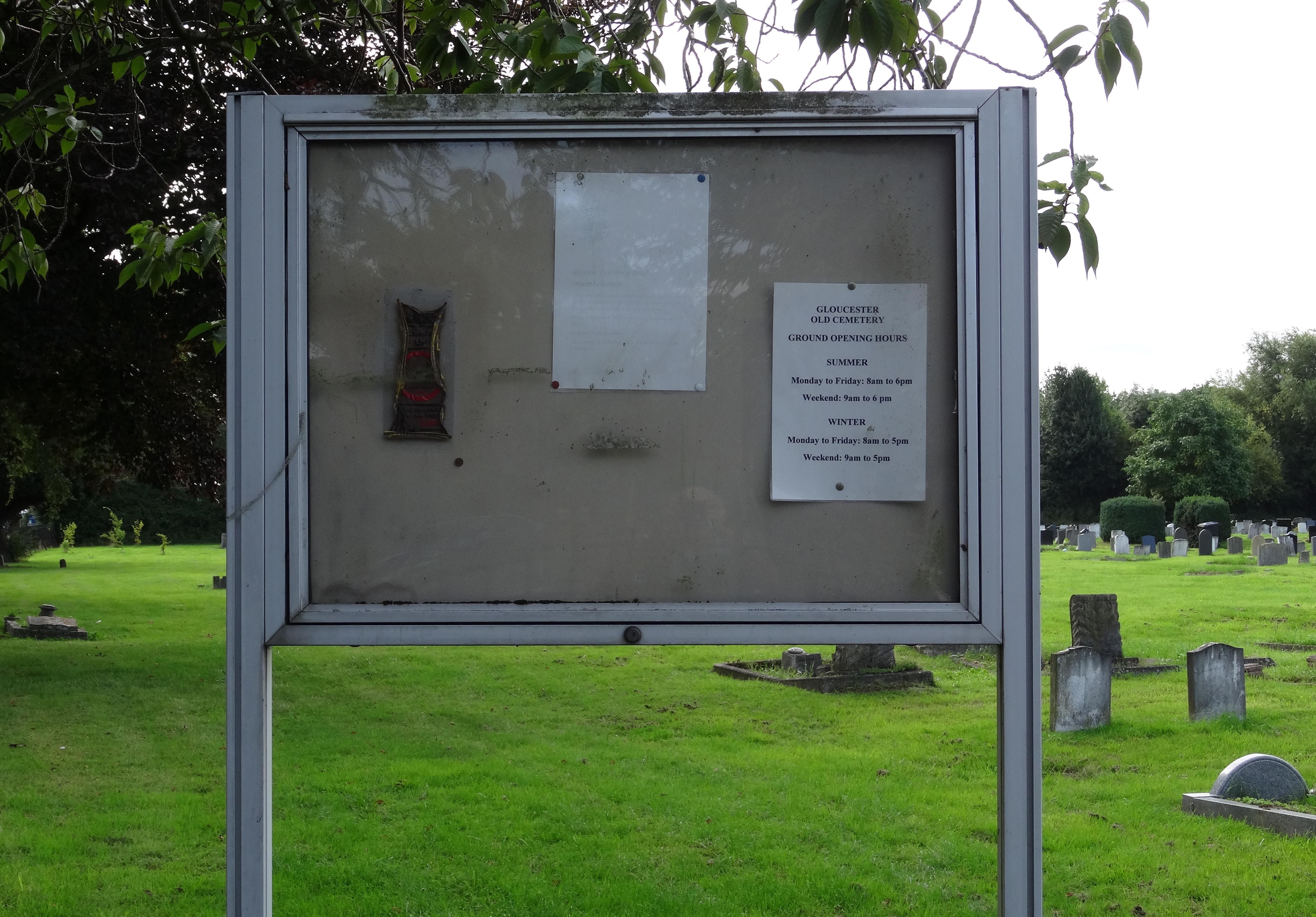
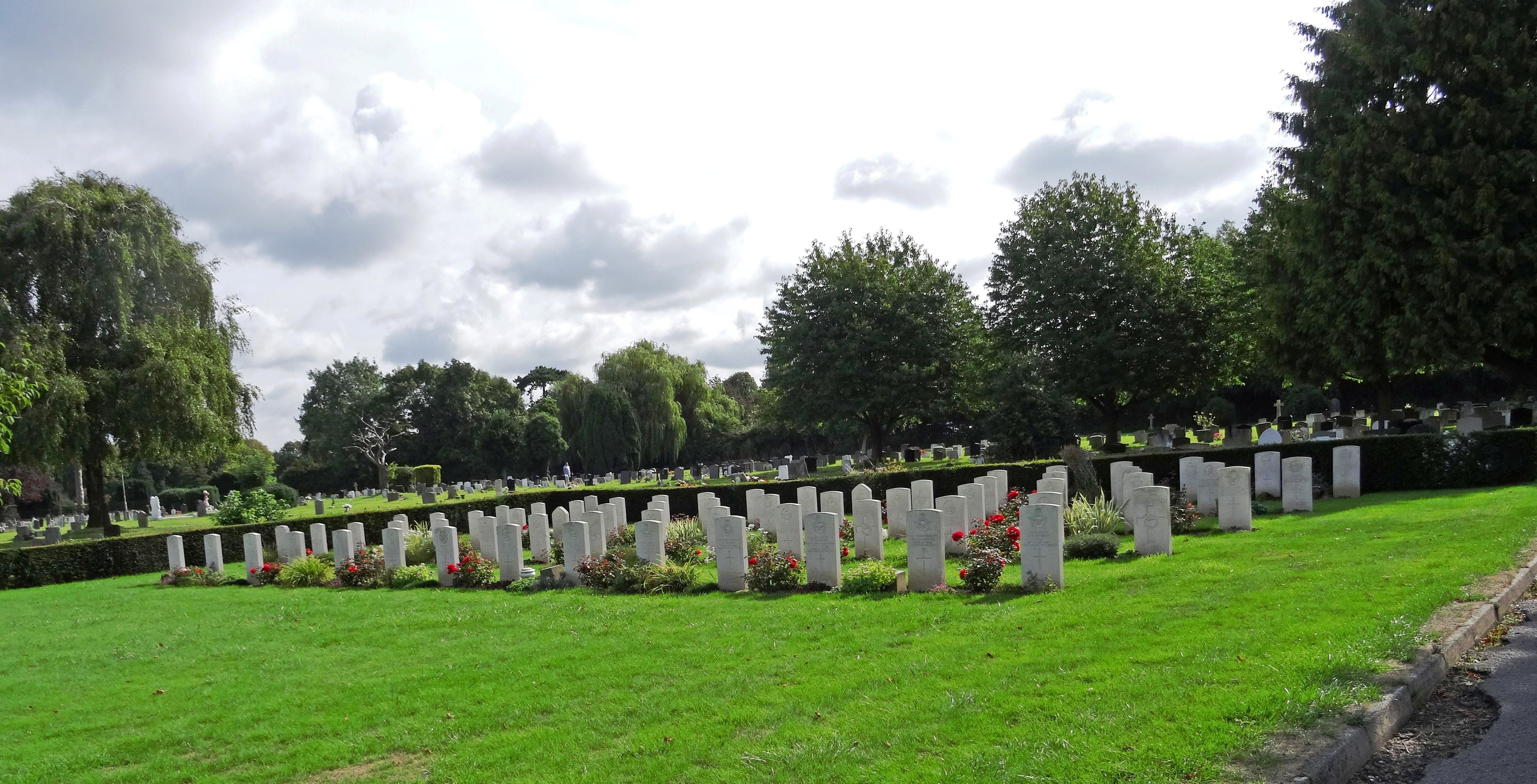
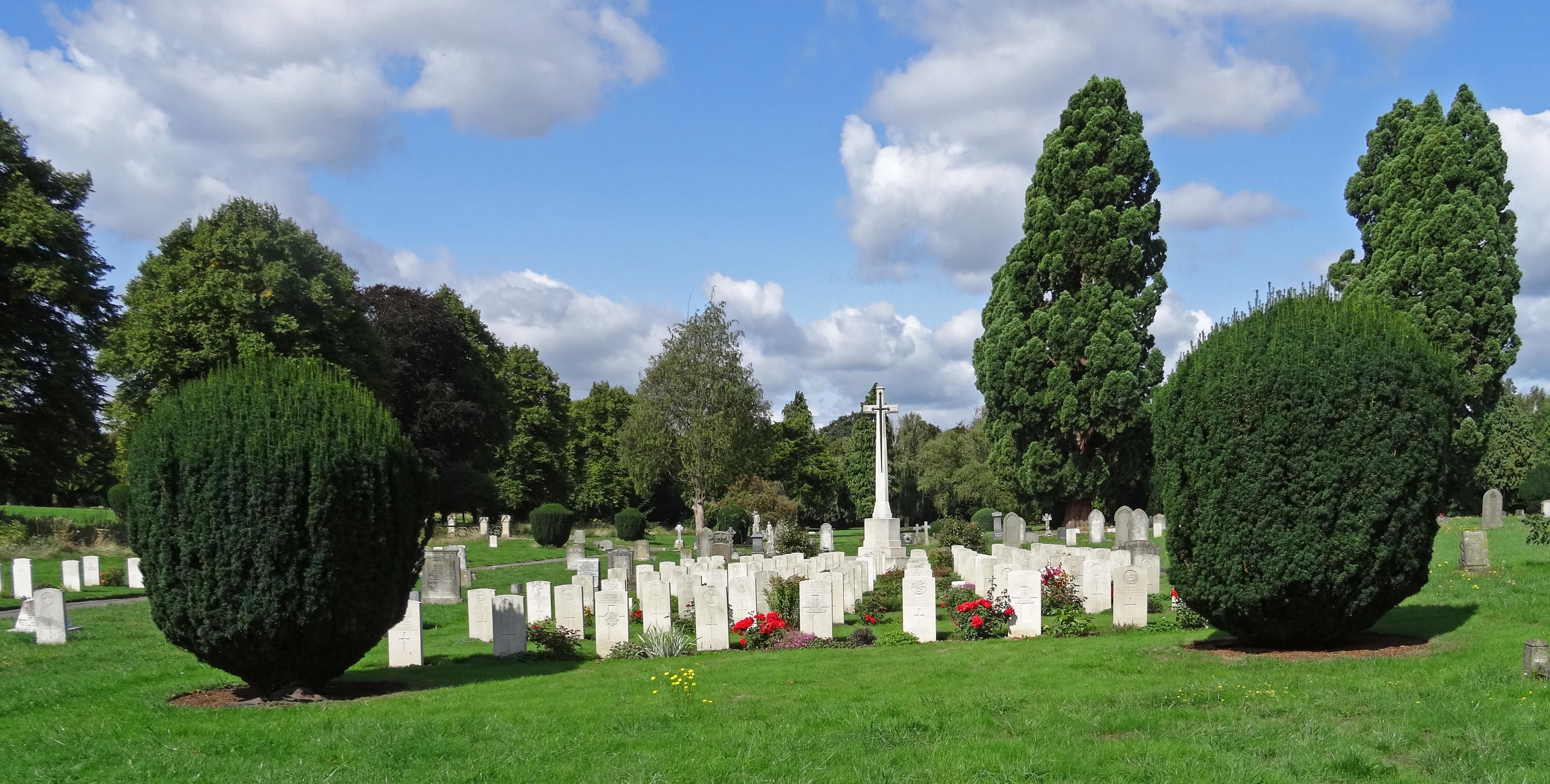
| Description | : | Tredworth Road Cemetery, sometimes known as Gloucester Old Cemetery, is located in Gloucester, England and is run by Gloucester City Council. It contains over 250 war graves maintained by the Commonwealth War Graves Commission. The Sud brook crosses the northern part of the area. A burial board was formed for the city of Gloucester in 1856 and the Tredworth Road Cemetery opened in 1857 after which the dead of the city ceased to be interred in the old city churchyards formerly used for that purpose. The cemetery was originally of 13 acres to the north of Tredworth Road,... Read More |
frequently asked questions (FAQ):
-
Where is Gloucester Old Cemetery?
Gloucester Old Cemetery is located at Gloucester, City of Gloucester ,Gloucestershire ,England.
-
Gloucester Old Cemetery cemetery's updated grave count on graveviews.com?
57 memorials
-
Where are the coordinates of the Gloucester Old Cemetery?
Latitude: 51.8482100
Longitude: -2.2276700
Nearby Cemetories:
1. Gloucester Crematorium
Gloucester, City of Gloucester, England
Coordinate: 51.8538180, -2.2219260
2. St Lawrence Churchyard
Barnwood, City of Gloucester, England
Coordinate: 51.8580470, -2.2069750
3. Horton Road Cemetery
Gloucester, City of Gloucester, England
Coordinate: 51.8666900, -2.2268300
4. St Margaret's Chapel
Gloucester, City of Gloucester, England
Coordinate: 51.8686720, -2.2321530
5. Saint Catharine's
Gloucester, City of Gloucester, England
Coordinate: 51.8691700, -2.2273500
6. Chapel of St Mary Magdalen
Gloucester, City of Gloucester, England
Coordinate: 51.8693000, -2.2291000
7. Llanthony Secunda Priory
Hempsted, City of Gloucester, England
Coordinate: 51.8602130, -2.2572640
8. Gloucester Cathedral
Gloucester, City of Gloucester, England
Coordinate: 51.8675920, -2.2467670
9. St Nicholas' Church
Gloucester, City of Gloucester, England
Coordinate: 51.8672800, -2.2496760
10. Saint Oswald's Priory
Gloucester, City of Gloucester, England
Coordinate: 51.8694000, -2.2478000
11. Ss Philip and James Churchyard
Hucclecote, Tewkesbury Borough, England
Coordinate: 51.8573040, -2.1876440
12. St. Swithun's Churchyard
Hempsted, City of Gloucester, England
Coordinate: 51.8515740, -2.2719420
13. St Margaret Church
Whaddon, Stroud District, England
Coordinate: 51.8214600, -2.2433000
14. St. James' Churchyard
Quedgeley, City of Gloucester, England
Coordinate: 51.8257770, -2.2811150
15. St. Swithun Churchyard
Brookthorpe, Stroud District, England
Coordinate: 51.8087500, -2.2402900
16. Prinknash Abbey
Cranham, Stroud District, England
Coordinate: 51.8225000, -2.1761110
17. St George Churchyard
Brockworth, Tewkesbury Borough, England
Coordinate: 51.8517460, -2.1598180
18. St. Matthew's Cemetery
Twigworth, Tewkesbury Borough, England
Coordinate: 51.8936090, -2.2307820
19. Holy Innocents Churchyard
Highnam, Tewkesbury Borough, England
Coordinate: 51.8740890, -2.2970050
20. St. Giles Churchyard
Maisemore, Tewkesbury Borough, England
Coordinate: 51.8931690, -2.2719540
21. Painswick Cemetery
Painswick, Stroud District, England
Coordinate: 51.7971040, -2.1918690
22. St John the Baptist Churchyard
Harescombe, Stroud District, England
Coordinate: 51.7921570, -2.2373260
23. Holy Trinity Churchyard
Badgeworth, Tewkesbury Borough, England
Coordinate: 51.8715360, -2.1444640
24. St. James the Great Churchyard
Cranham, Stroud District, England
Coordinate: 51.8102797, -2.1596329