
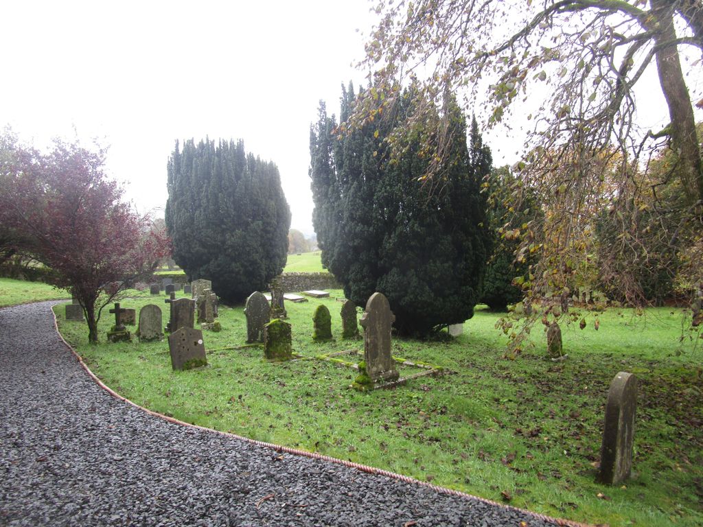
| Memorials | : | 0 |
| Location | : | Selside, South Lakeland District, England |
| Coordinate | : | 54.3861600, -2.7169400 |
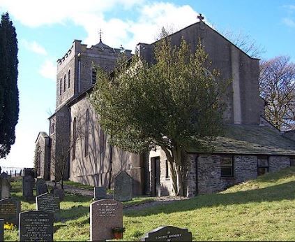
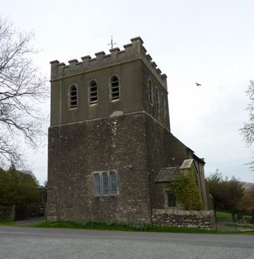
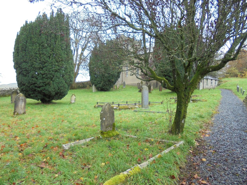
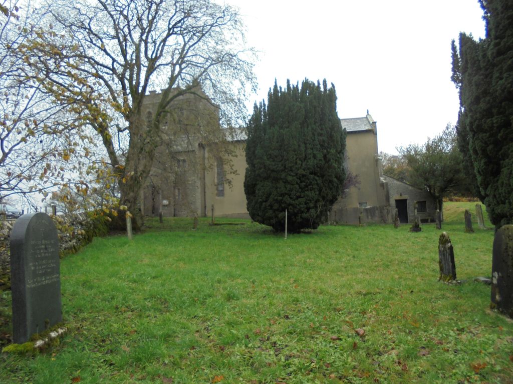
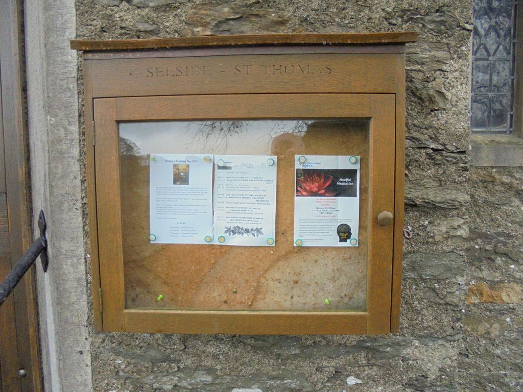
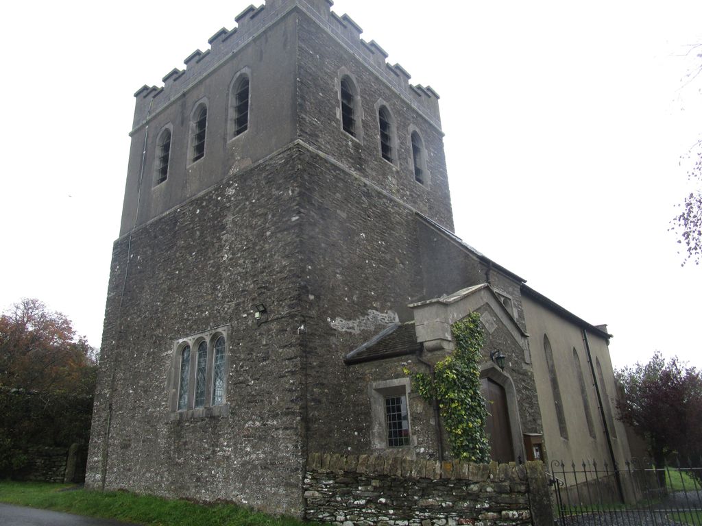
| Description | : | Selside is a small village in rural Cumbria, situated about 6 miles north of Kendal. It is now in the civil parish of Whitwell and Selside, though it was formerly in the parish of Kendal. The parish, which consists of the hamlet of Watchgate and a wide area of farmland, sits astride the A6 approximately five miles north of Kendal. St Thomas's church is situated more or less in the centre of the parish. The present church, which was built in 1837 and extended in 1890, with the tower added in 1894. |
frequently asked questions (FAQ):
-
Where is St. Thomas' Churchyard?
St. Thomas' Churchyard is located at Selside, South Lakeland District ,Cumbria , LA8 9LAEngland.
-
St. Thomas' Churchyard cemetery's updated grave count on graveviews.com?
0 memorials
-
Where are the coordinates of the St. Thomas' Churchyard?
Latitude: 54.3861600
Longitude: -2.7169400
Nearby Cemetories:
1. St. John the Baptist Cemetery
Skelsmergh, South Lakeland District, England
Coordinate: 54.3521700, -2.7253800
2. St. John The Baptist Cemetery Extension
Skelsmergh, South Lakeland District, England
Coordinate: 54.3519250, -2.7249650
3. St Oswald Churchyard
Burneside, South Lakeland District, England
Coordinate: 54.3546500, -2.7634950
4. St John the Evangelist Churchyard
Grayrigg, South Lakeland District, England
Coordinate: 54.3681500, -2.6501200
5. Quaker Burial Ground - Grayrigg
Grayrigg, South Lakeland District, England
Coordinate: 54.3664563, -2.6483654
6. St Mary Churchyard
Longsleddale, South Lakeland District, England
Coordinate: 54.4189730, -2.7706810
7. Castle Street Cemetery
Kendal, South Lakeland District, England
Coordinate: 54.3301600, -2.7365160
8. Stricklandgate Methodist
Kendal, South Lakeland District, England
Coordinate: 54.3321160, -2.7493720
9. St. Thomas Churchyard
Kendal, South Lakeland District, England
Coordinate: 54.3316130, -2.7489140
10. Quaker Burial Ground
Kendal, South Lakeland District, England
Coordinate: 54.3278200, -2.7285500
11. St James Churchyard
Staveley, South Lakeland District, England
Coordinate: 54.3801350, -2.8183670
12. Kendal Quaker Meeting House
Kendal, South Lakeland District, England
Coordinate: 54.3287200, -2.7431900
13. Kendal Unitarian Chapel Burial Ground
Kendal, South Lakeland District, England
Coordinate: 54.3287120, -2.7450940
14. The Sepulchre Quaker Burial Ground
Kendal, South Lakeland District, England
Coordinate: 54.3270022, -2.7502978
15. Holy Trinity Church
Kendal, South Lakeland District, England
Coordinate: 54.3223970, -2.7448770
16. Parkside Cemetery
Kendal, South Lakeland District, England
Coordinate: 54.3210870, -2.7362680
17. St. Stephen's Churchyard
New Hutton, South Lakeland District, England
Coordinate: 54.3156560, -2.6747130
18. St. Anne's Churchyard
Ings, South Lakeland District, England
Coordinate: 54.3802940, -2.8541350
19. St Cuthbert Churchyard
Kentmere, South Lakeland District, England
Coordinate: 54.4294920, -2.8396150
20. St. Catherine's Churchyard
Crook, South Lakeland District, England
Coordinate: 54.3480260, -2.8462220
21. St. James Churchyard
Tebay, Eden District, England
Coordinate: 54.4338540, -2.5931330
22. Crook Chapel of Saint Catherine
Crook, South Lakeland District, England
Coordinate: 54.3445250, -2.8477290
23. All Saints Churchyard
Underbarrow, South Lakeland District, England
Coordinate: 54.3262900, -2.8268240
24. St Mark's Churchyard
Natland, South Lakeland District, England
Coordinate: 54.2961380, -2.7374200