
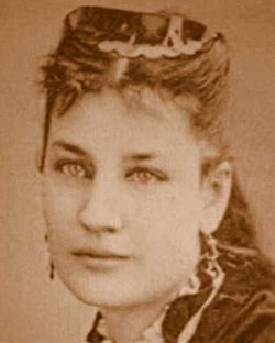
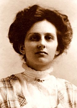
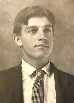
| Birth | : | 18 Oct 1887 Strawberry Valley, Yuba County, California, USA |
| Death | : | 21 Jul 1957 Sacramento, Sacramento County, California, USA |
| Burial | : | Foresthill Community Cemetery, Foresthill, Placer County, USA |
| Coordinate | : | 39.0184500, -120.8114700 |
| Inscription | : | CALIF. POT. BTRY. C25 ARTY CAC WWI |
frequently asked questions (FAQ):
-
Where is Fillmore Millard Emerson's memorial?
Fillmore Millard Emerson's memorial is located at: Foresthill Community Cemetery, Foresthill, Placer County, USA.
-
When did Fillmore Millard Emerson death?
Fillmore Millard Emerson death on 21 Jul 1957 in Sacramento, Sacramento County, California, USA
-
Where are the coordinates of the Fillmore Millard Emerson's memorial?
Latitude: 39.0184500
Longitude: -120.8114700
Family Members:
Parent
Spouse

Siblings
Children
Flowers:


Nearby Cemetories:
1. Foresthill Community Cemetery
Foresthill, Placer County, USA
Coordinate: 39.0184500, -120.8114700
2. Saint Joseph Catholic Cemetery
Foresthill, Placer County, USA
Coordinate: 39.0240200, -120.8068800
3. Todd Valley Cemetery
Placer County, USA
Coordinate: 38.9970900, -120.8541000
4. Yankee Jims Cemetery
Foresthill, Placer County, USA
Coordinate: 39.0292511, -120.8614349
5. Josephine Mine Cemetery
Volcanoville, El Dorado County, USA
Coordinate: 38.9798000, -120.7892170
6. Stoney Bar Cemetery
Foresthill, Placer County, USA
Coordinate: 39.0114980, -120.7408060
7. Michigan Bluff Cemetery
Placer County, USA
Coordinate: 39.0409400, -120.7401200
8. Deadwood Cemetery
Foresthill, Placer County, USA
Coordinate: 39.0447700, -120.7361200
9. Odd Fellows Cemetery
Michigan Bluff, Placer County, USA
Coordinate: 39.0449240, -120.7361840
10. Spring Garden Indian Cemetery
Foresthill, Placer County, USA
Coordinate: 38.9998620, -120.9049310
11. Carmelite Monastery Cemetery
Georgetown, El Dorado County, USA
Coordinate: 38.9273300, -120.8173840
12. Georgia Slide Cemetery
Georgetown, El Dorado County, USA
Coordinate: 38.9218063, -120.8377838
13. Saint Dominics Catholic Cemetery
Iowa Hill, Placer County, USA
Coordinate: 39.1108880, -120.8568740
14. Iowa Hill Chinese Cemetery
Iowa Hill, Placer County, USA
Coordinate: 39.1113090, -120.8573260
15. Old Iowa Hill Cemetery
Iowa Hill, Placer County, USA
Coordinate: 39.1116667, -120.8575000
16. Spanish Dry Diggings Cemetery
Greenwood, El Dorado County, USA
Coordinate: 38.9431600, -120.9158000
17. Georgetown Pioneer Cemetery
Georgetown, El Dorado County, USA
Coordinate: 38.9068108, -120.8430862
18. Esoteric Fraternity Cemetery
Applegate, Placer County, USA
Coordinate: 38.9946190, -120.9687490
19. Colfax Indian Cemetery
Colfax, Placer County, USA
Coordinate: 39.0909900, -120.9503000
20. Colfax Cemetery
Colfax, Placer County, USA
Coordinate: 39.0979522, -120.9471644
21. Weimar Sanatorium Cemetery
Weimar, Placer County, USA
Coordinate: 39.0350200, -120.9834400
22. Greenwood Pioneer Cemetery
Greenwood, El Dorado County, USA
Coordinate: 38.8985786, -120.9099274
23. Georgetown-Renke Cemetery Annex
Georgetown, El Dorado County, USA
Coordinate: 38.8964610, -120.9116240
24. Gold Run Cemetery
Placer County, USA
Coordinate: 39.1757100, -120.8612900