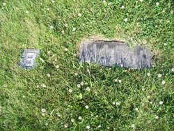
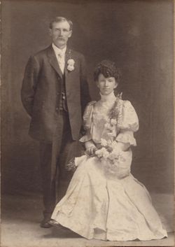
| Birth | : | 21 Feb 1874 Ottawa, LaSalle County, Illinois, USA |
| Death | : | 13 Nov 1950 Pilger, Stanton County, Nebraska, USA |
| Burial | : | St Mary Churchyard, Thornton Watlass, Hambleton District, England |
| Coordinate | : | 54.2627000, -1.6445300 |
frequently asked questions (FAQ):
-
Where is Wilhelmine Elizabeth Bartels Burris's memorial?
Wilhelmine Elizabeth Bartels Burris's memorial is located at: St Mary Churchyard, Thornton Watlass, Hambleton District, England.
-
When did Wilhelmine Elizabeth Bartels Burris death?
Wilhelmine Elizabeth Bartels Burris death on 13 Nov 1950 in Pilger, Stanton County, Nebraska, USA
-
Where are the coordinates of the Wilhelmine Elizabeth Bartels Burris's memorial?
Latitude: 54.2627000
Longitude: -1.6445300
Family Members:
Parent
Spouse
Siblings
Children
Flowers:
Nearby Cemetories:
1. St Mary Churchyard
Thornton Watlass, Hambleton District, England
Coordinate: 54.2627000, -1.6445300
2. Thorp Perrow Pet Cemetery
Bedale, Hambleton District, England
Coordinate: 54.2631350, -1.6050920
3. St. Mary's Chapel Snape Castle
Snape, Hambleton District, England
Coordinate: 54.2544470, -1.5991790
4. St Mary Chapel
Snape, Hambleton District, England
Coordinate: 54.2543950, -1.5991040
5. Low Ellington Friends Burial Ground
Harrogate Borough, England
Coordinate: 54.2488730, -1.6896440
6. St. Gregory Churchyard
Bedale, Hambleton District, England
Coordinate: 54.2911330, -1.5936010
7. St. Mary the Virgin Churchyard
Masham, Harrogate Borough, England
Coordinate: 54.2212500, -1.6538320
8. St Michael Churchyard
Well, Hambleton District, England
Coordinate: 54.2334600, -1.5900500
9. St Gregory Churchyard
Crakehall, Hambleton District, England
Coordinate: 54.3046690, -1.6255660
10. Crakehall and Langthorne Cemetery
Crakehall, Hambleton District, England
Coordinate: 54.3086800, -1.6272800
11. St Patrick Churchyard
Patrick Brompton, Richmondshire District, England
Coordinate: 54.3112400, -1.6647300
12. Jervaulx Abbey
East Witton, Richmondshire District, England
Coordinate: 54.2670280, -1.7379870
13. St. Oswald's Churchyard
Thornton Steward, Richmondshire District, England
Coordinate: 54.2776700, -1.7398000
14. St. Andrew's Churchyard
Finghall, Richmondshire District, England
Coordinate: 54.3068300, -1.7085500
15. St. Paul's Churchyard
Healey, Harrogate Borough, England
Coordinate: 54.2211220, -1.7208450
16. West Tanfield Methodist Chapelyard
West Tanfield, Hambleton District, England
Coordinate: 54.2065210, -1.5904340
17. St John the Baptist Churchyard
Leeming, Hambleton District, England
Coordinate: 54.2990400, -1.5497100
18. St. Nicholas' Churchyard
West Tanfield, Hambleton District, England
Coordinate: 54.2036840, -1.5906360
19. St Lambert Churchyard
Burneston, Hambleton District, England
Coordinate: 54.2592940, -1.5273040
20. St Mary Churchyard
Hornby, Richmondshire District, England
Coordinate: 54.3388470, -1.6594880
21. St John the Evangelist Churchyard
East Witton, Richmondshire District, England
Coordinate: 54.2696020, -1.7760850
22. St John the Evangelist Churchyard
Mickley, Harrogate Borough, England
Coordinate: 54.1878300, -1.6117000
23. St Simon and St Jude Roman Catholic Churchyard
Ulshaw Bridge, Richmondshire District, England
Coordinate: 54.2809800, -1.7771600
24. St James Churchyard
Grewelthorpe, Harrogate Borough, England
Coordinate: 54.1822150, -1.6487290

