
| Memorials | : | 0 |
| Location | : | Steyning, Horsham District, England |
| Coordinate | : | 50.8900700, -0.3250280 |
frequently asked questions (FAQ):
-
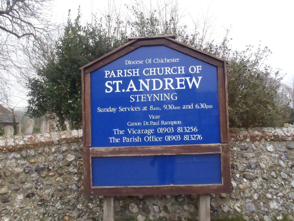
Where is St Andrew and St Cuthman Churchyard?
St Andrew and St Cuthman Churchyard is located at Vicarage Lane Steyning, Horsham District ,West Sussex , BN44 3YLEngland.
-
St Andrew and St Cuthman Churchyard cemetery's updated grave count on graveviews.com?
0 memorials
-
Where are the coordinates of the St Andrew and St Cuthman Churchyard?
Latitude: 50.8900700
Longitude: -0.3250280


Nearby Cemetories:
1. St Nicholas Churchyard
Bramber, Horsham District, England
Coordinate: 50.8828660, -0.3153580
2. St Peter Churchyard
Upper Beeding, Horsham District, England
Coordinate: 50.8873530, -0.3056540
3. St Mary Churchyard
Wiston, Horsham District, England
Coordinate: 50.8995280, -0.3582890
4. St Botolph's
Boto By, Guldborgsund Kommune, Denmark
Coordinate: 50.8704488, -0.3049848
5. Botolph Cemetery
Steyning, Horsham District, England
Coordinate: 50.8698470, -0.3051070
6. Coombes Churchyard
Coombes, Adur District, England
Coordinate: 50.8611730, -0.3082180
7. All Saints Churchyard
Wiston, Horsham District, England
Coordinate: 50.9132350, -0.3725910
8. St James Churchyard
Ashurst, Horsham District, England
Coordinate: 50.9347992, -0.3273070
9. Landing College Chapel
Lancing, Adur District, England
Coordinate: 50.8459798, -0.3042240
10. Lancing and Sompting Cemetery
Lancing, Adur District, England
Coordinate: 50.8405270, -0.3280020
11. St. James the Less Churchyard
Lancing, Adur District, England
Coordinate: 50.8378170, -0.3226110
12. St Peter's Churchyard
Henfield, Horsham District, England
Coordinate: 50.9323340, -0.2762030
13. St James the Less Churchyard Extension
Lancing, Adur District, England
Coordinate: 50.8367330, -0.3239250
14. Henfield Cemetery
Henfield, Horsham District, England
Coordinate: 50.9342000, -0.2764400
15. St. Mary's Churchyard
Sompting, Adur District, England
Coordinate: 50.8386030, -0.3518740
16. St Mary's Churchyard Extension
Washington, Horsham District, England
Coordinate: 50.9036269, -0.4089782
17. St. Nicolas' Churchyard
Old Shoreham, Adur District, England
Coordinate: 50.8407940, -0.2856690
18. Worthing Crematorium
Findon, Arun District, England
Coordinate: 50.8728370, -0.4085170
19. St. Mary's Parish Churchyard
Washington, Horsham District, England
Coordinate: 50.9043450, -0.4103140
20. St Peter's Churchyard
Woodmancote, Horsham District, England
Coordinate: 50.9213180, -0.2497350
21. Findon Cemetery
Findon, Arun District, England
Coordinate: 50.8678500, -0.4100500
22. Mill Lane Cemetery
Shoreham-by-Sea, Adur District, England
Coordinate: 50.8378990, -0.2783270
23. St John the Baptist Churchyard
Findon, Arun District, England
Coordinate: 50.8650400, -0.4148790
24. Durrington Cemetery
Durrington, Worthing Borough, England
Coordinate: 50.8390820, -0.3934460