
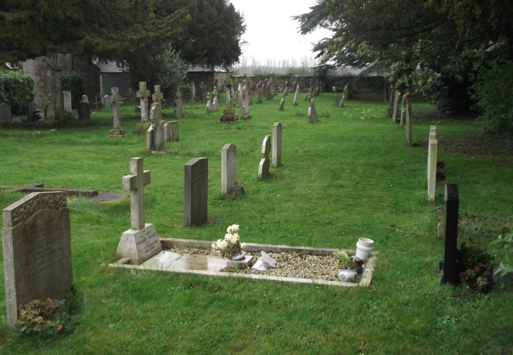
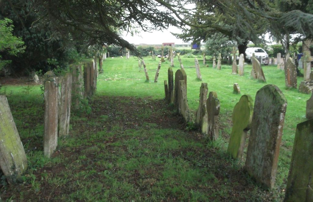
| Memorials | : | 2 |
| Location | : | Hethe, Cherwell District, England |
| Coordinate | : | 51.9615600, -1.1452100 |
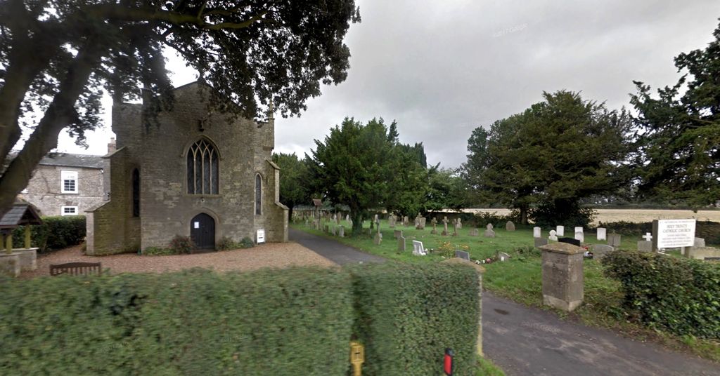
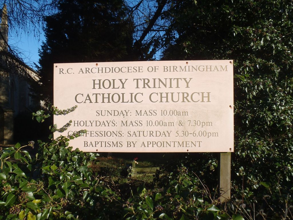
| Description | : | In 1832 the priest from Hardwick had Holy Trinity church built at Hethe to serve the Roman Catholic population there and in surrounding villages. It is a Gothic Revival building but the name of its architect is not recorded |
frequently asked questions (FAQ):
-
Where is Holy Trinity Churchyard?
Holy Trinity Churchyard is located at Hardwick Rd Hethe, Cherwell District ,Oxfordshire , OX27 8AWEngland.
-
Holy Trinity Churchyard cemetery's updated grave count on graveviews.com?
2 memorials
-
Where are the coordinates of the Holy Trinity Churchyard?
Latitude: 51.9615600
Longitude: -1.1452100
Nearby Cemetories:
1. St. Edmund and St. George Churchyard
Hethe, Cherwell District, England
Coordinate: 51.9604830, -1.1384690
2. St Mary the Virgin Churchyard
Hardwick, Cherwell District, England
Coordinate: 51.9616750, -1.1615570
3. St. Mary's Churchyard
Cottisford, Cherwell District, England
Coordinate: 51.9749070, -1.1464410
4. St Michaels and All Angels Churchyard
Fringford, Cherwell District, England
Coordinate: 51.9573680, -1.1189880
5. St Peters Churchyard
Stoke Lyne, Cherwell District, England
Coordinate: 51.9505340, -1.1771680
6. St Michael & All Angels Churchyard
Newton Purcell, Cherwell District, England
Coordinate: 51.9723110, -1.0915630
7. SS Mary & Edburga Churchyard
Stratton Audley, Cherwell District, England
Coordinate: 51.9294810, -1.1164160
8. St Laurence Churchyard
Caversfield, Cherwell District, England
Coordinate: 51.9223030, -1.1571690
9. St Peter's Churchyard
Bucknell, Cherwell District, England
Coordinate: 51.9263400, -1.1861700
10. Mixbury All Saints Churchyard
Mixbury, Cherwell District, England
Coordinate: 52.0010100, -1.1131800
11. St. Mary's Churchyard
Ardley, Cherwell District, England
Coordinate: 51.9422140, -1.2122580
12. Fewcott All Saints Churchyard
Albury, South Oxfordshire District, England
Coordinate: 51.9477100, -1.2170700
13. Ss Mary and Nicholas Churchyard
Chetwode, Aylesbury Vale District, England
Coordinate: 51.9630520, -1.0694610
14. St James Churchyard
Barton Harthshorn, Aylesbury Vale District, England
Coordinate: 51.9730300, -1.0686650
15. Holy Trinity
Godington, Cherwell District, England
Coordinate: 51.9452700, -1.0667470
16. All Saints Churchyard
Croughton, South Northamptonshire Borough, England
Coordinate: 51.9977370, -1.2065760
17. Croughton Cemetery
Croughton, South Northamptonshire Borough, England
Coordinate: 52.0014880, -1.2031960
18. St. Michael and All Angels
Finmere, Cherwell District, England
Coordinate: 51.9931740, -1.0740240
19. Fritwell Parish Council Cemetery
Fritwell, Cherwell District, England
Coordinate: 51.9599490, -1.2380650
20. St Olave Churchyard
Fritwell, Cherwell District, England
Coordinate: 51.9596980, -1.2381180
21. St Mary the Virgin Churchyard
Souldern, Cherwell District, England
Coordinate: 51.9808600, -1.2399900
22. Bicester Priory
Bicester, Cherwell District, England
Coordinate: 51.9000000, -1.1500000
23. St. John the Baptist Churchyard
Preston Bissett, Aylesbury Vale District, England
Coordinate: 51.9637380, -1.0440980
24. St. Augustine's Churchyard
Westbury, Aylesbury Vale District, England
Coordinate: 52.0154200, -1.0941150