| Memorials | : | 16 |
| Location | : | Cottisford, Cherwell District, England |
| Coordinate | : | 51.9749070, -1.1464410 |
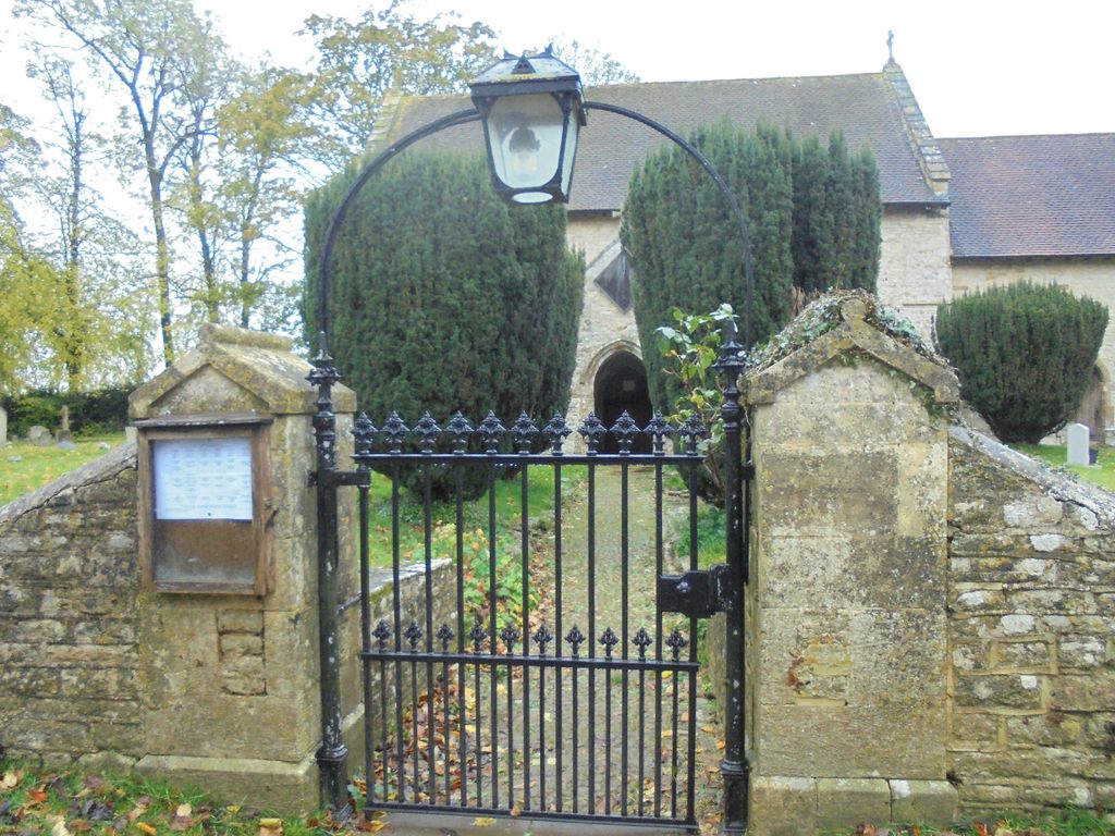
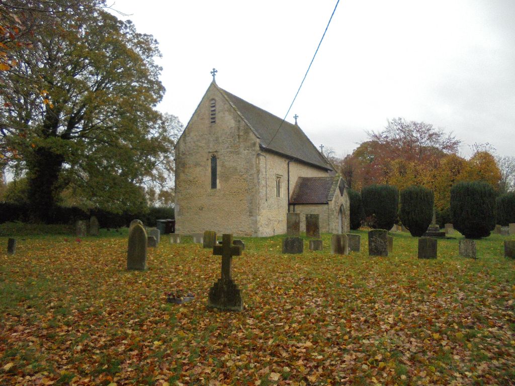
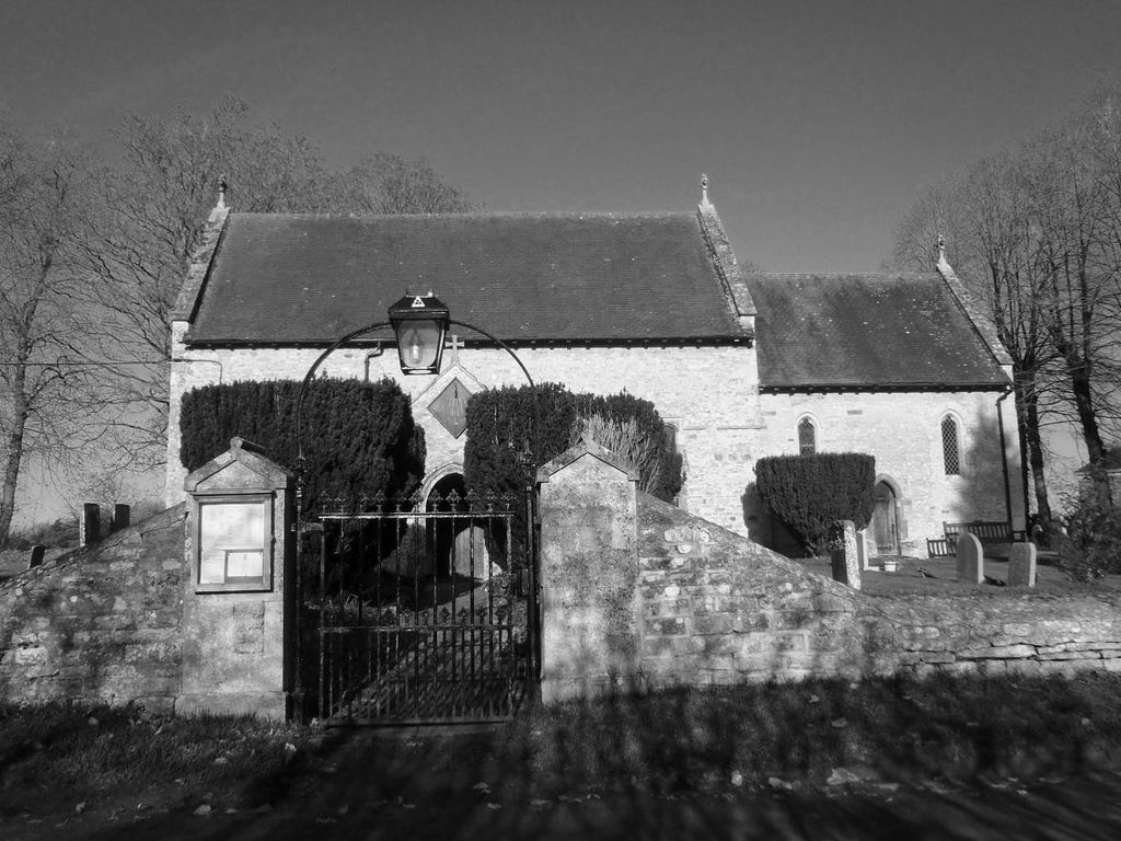
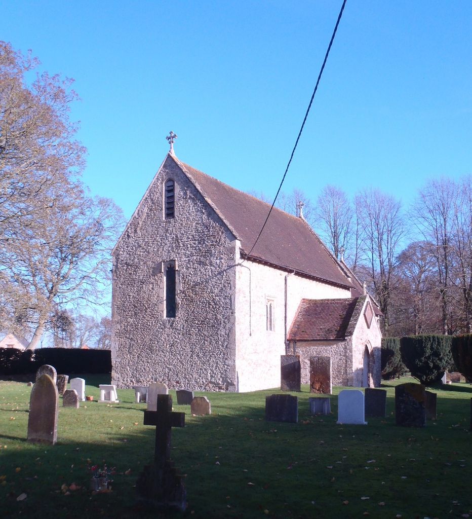
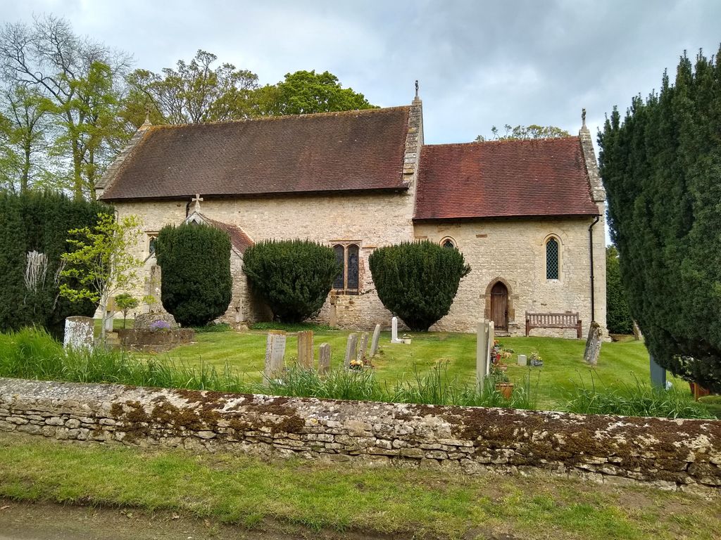
| Description | : | ottisford had a parish church by 1081, when Hugh de Grandmesnil gave it, along with its tithe income and a hide of land, to the Benedictine Abbey of Saint-Evroul-sur-Ouche. In 1167 St. Evroul Abbey transferred its property, tithes and land at Cottisford to Bec Abbey, which by then owned the manor of Cottisford. The present Church of England parish church of Saint Mary the Virgin was built in the 13th century. It is a small building with only a nave, chancel and south porch. The porch is Early English Gothic and has a sundial. The east window of the chancel dates... Read More |
frequently asked questions (FAQ):
-
Where is St. Mary's Churchyard?
St. Mary's Churchyard is located at Cottisford, Cherwell District ,Oxfordshire ,England.
-
St. Mary's Churchyard cemetery's updated grave count on graveviews.com?
16 memorials
-
Where are the coordinates of the St. Mary's Churchyard?
Latitude: 51.9749070
Longitude: -1.1464410
Nearby Cemetories:
1. Holy Trinity Churchyard
Hethe, Cherwell District, England
Coordinate: 51.9615600, -1.1452100
2. St. Edmund and St. George Churchyard
Hethe, Cherwell District, England
Coordinate: 51.9604830, -1.1384690
3. St Mary the Virgin Churchyard
Hardwick, Cherwell District, England
Coordinate: 51.9616750, -1.1615570
4. St Michaels and All Angels Churchyard
Fringford, Cherwell District, England
Coordinate: 51.9573680, -1.1189880
5. St Peters Churchyard
Stoke Lyne, Cherwell District, England
Coordinate: 51.9505340, -1.1771680
6. Mixbury All Saints Churchyard
Mixbury, Cherwell District, England
Coordinate: 52.0010100, -1.1131800
7. St Michael & All Angels Churchyard
Newton Purcell, Cherwell District, England
Coordinate: 51.9723110, -1.0915630
8. All Saints Churchyard
Croughton, South Northamptonshire Borough, England
Coordinate: 51.9977370, -1.2065760
9. Croughton Cemetery
Croughton, South Northamptonshire Borough, England
Coordinate: 52.0014880, -1.2031960
10. St James Churchyard
Barton Harthshorn, Aylesbury Vale District, England
Coordinate: 51.9730300, -1.0686650
11. St. Michael and All Angels
Finmere, Cherwell District, England
Coordinate: 51.9931740, -1.0740240
12. Ss Mary and Nicholas Churchyard
Chetwode, Aylesbury Vale District, England
Coordinate: 51.9630520, -1.0694610
13. SS Mary & Edburga Churchyard
Stratton Audley, Cherwell District, England
Coordinate: 51.9294810, -1.1164160
14. Fewcott All Saints Churchyard
Albury, South Oxfordshire District, England
Coordinate: 51.9477100, -1.2170700
15. St. Augustine's Churchyard
Westbury, Aylesbury Vale District, England
Coordinate: 52.0154200, -1.0941150
16. St. Mary's Churchyard
Ardley, Cherwell District, England
Coordinate: 51.9422140, -1.2122580
17. St Laurence Churchyard
Caversfield, Cherwell District, England
Coordinate: 51.9223030, -1.1571690
18. Hospital of St James and St John
Brackley, South Northamptonshire Borough, England
Coordinate: 52.0284000, -1.1473000
19. St Peter's Churchyard
Bucknell, Cherwell District, England
Coordinate: 51.9263400, -1.1861700
20. St. Peter's Churchyard
Brackley, South Northamptonshire Borough, England
Coordinate: 52.0309710, -1.1390480
21. Holy Trinity
Godington, Cherwell District, England
Coordinate: 51.9452700, -1.0667470
22. St Mary the Virgin Churchyard
Souldern, Cherwell District, England
Coordinate: 51.9808600, -1.2399900
23. Fritwell Parish Council Cemetery
Fritwell, Cherwell District, England
Coordinate: 51.9599490, -1.2380650
24. St Olave Churchyard
Fritwell, Cherwell District, England
Coordinate: 51.9596980, -1.2381180

