
| Memorials | : | 0 |
| Location | : | Cranham, Stroud District, England |
| Website | : | www.beaconbenefice.org.uk/cranham/ |
| Coordinate | : | 51.8102797, -2.1596329 |
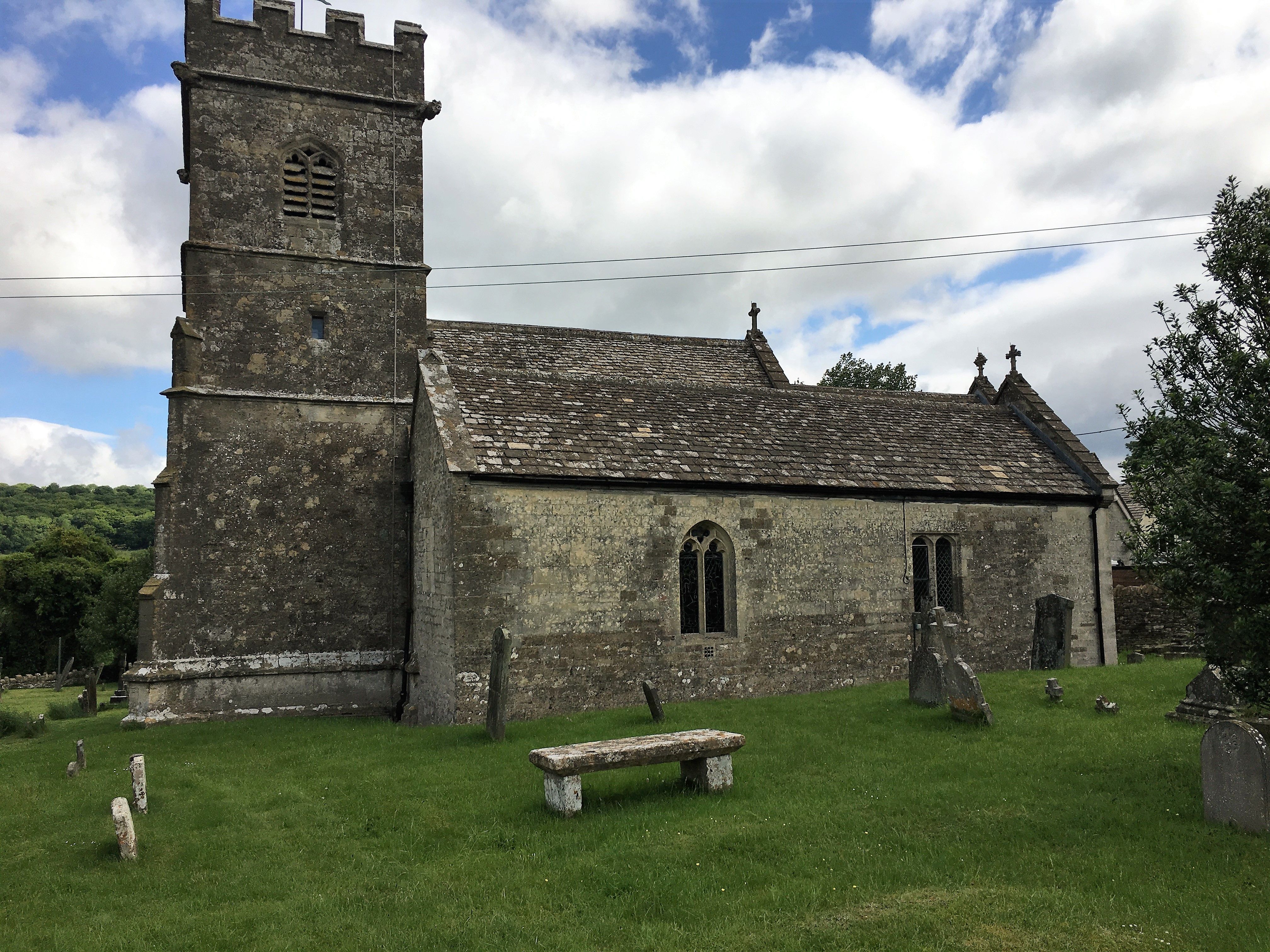
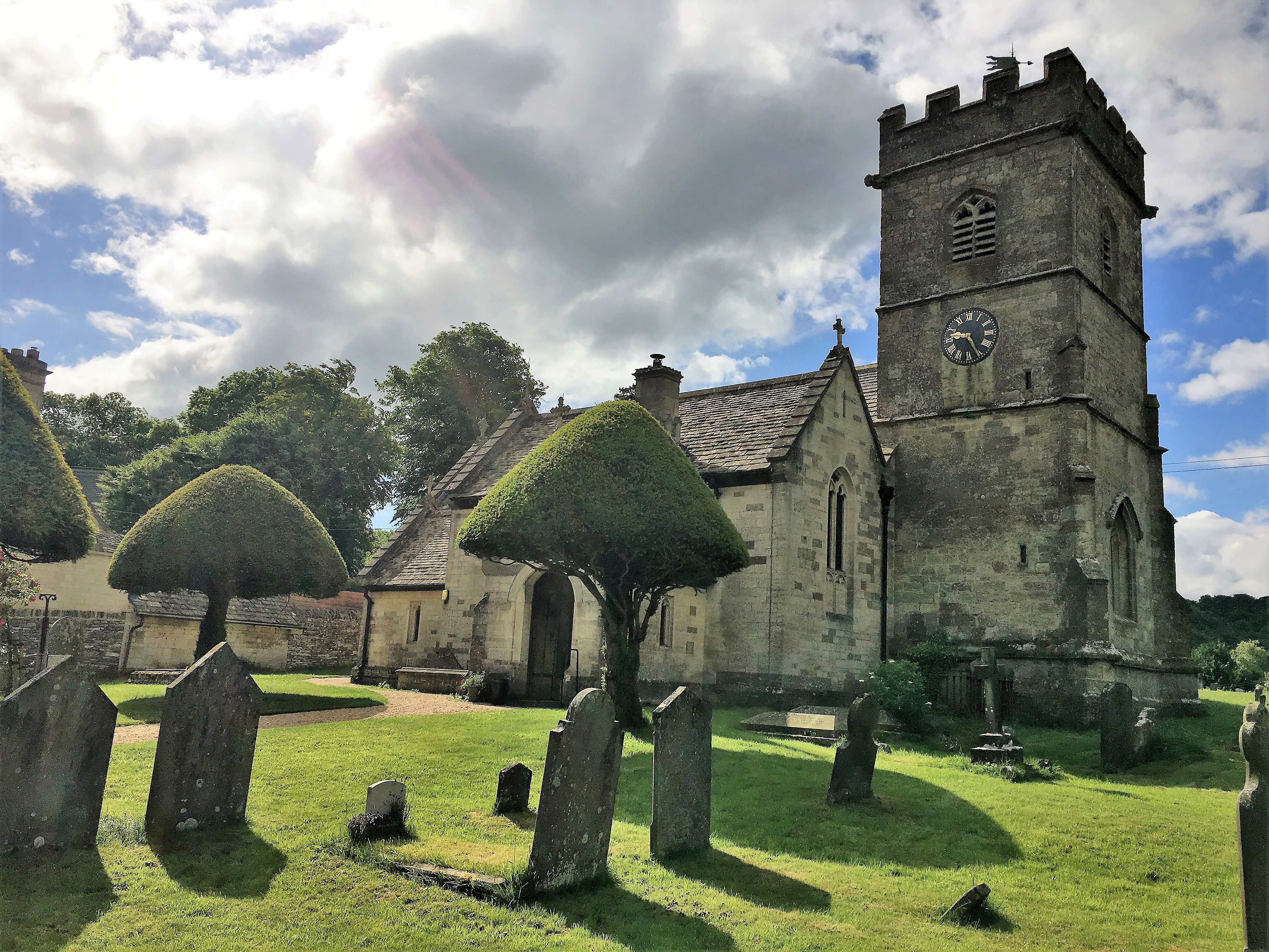
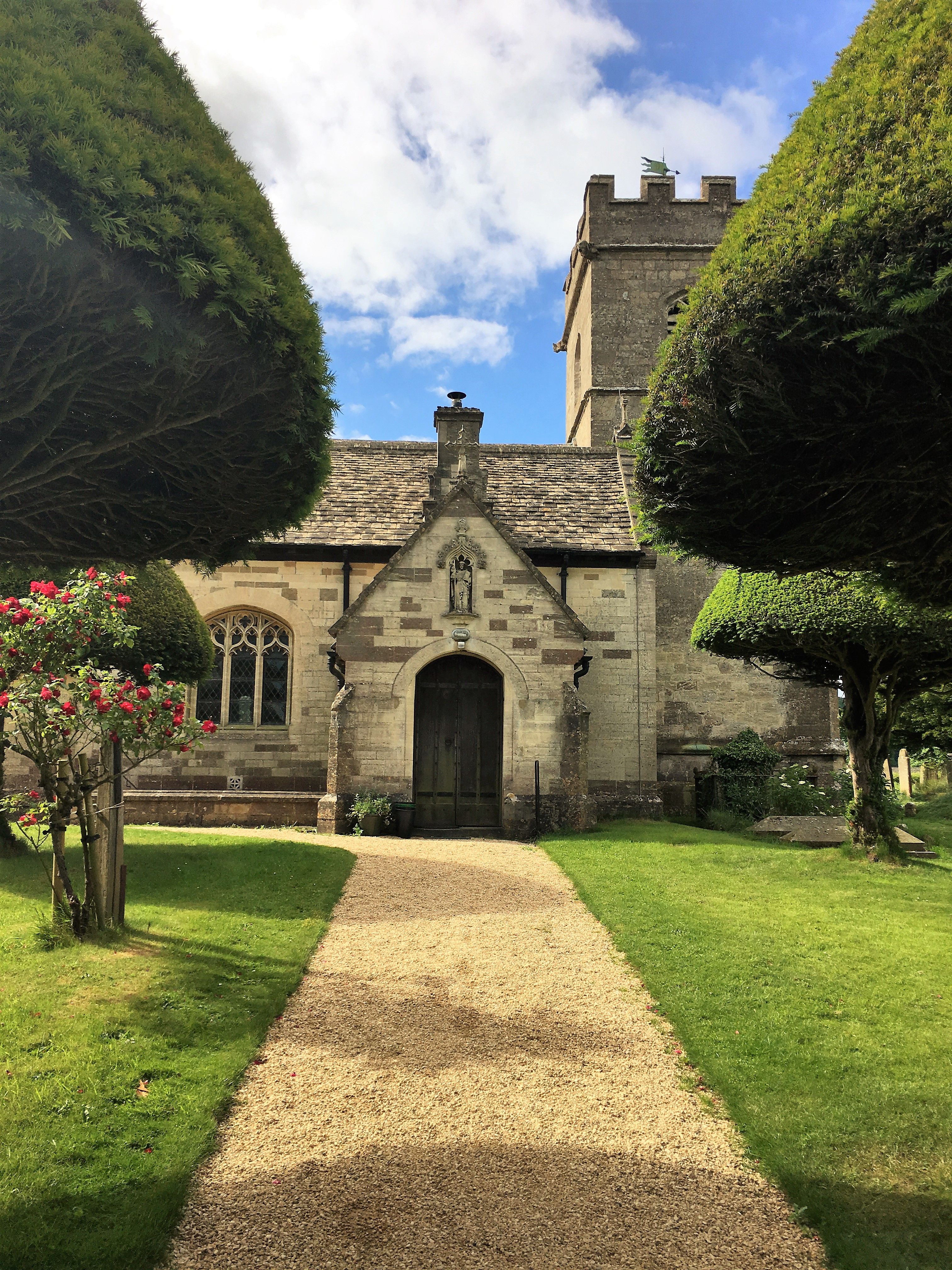
| Description | : | From the website: Our church building sits on the hill by Cranham Common, overlooking Cranham Woods and the most westerly valley of the Cotswolds. The Church of St James the Great, Cranham is a Grade II* Listed Church and was mostly built around 15th century. There has been a church on the site since the 12th Century, and the present charming church was rebuilt in Victorian times In 1894-95 large refurbishments were made in conjunction with new extensions to the original building which included the addition of a North Aisle and Vestry, all funded by a local benefactor. |
frequently asked questions (FAQ):
-
Where is St. James the Great Churchyard?
St. James the Great Churchyard is located at Cranham, Stroud District ,Gloucestershire ,England.
-
St. James the Great Churchyard cemetery's updated grave count on graveviews.com?
0 memorials
-
Where are the coordinates of the St. James the Great Churchyard?
Latitude: 51.8102797
Longitude: -2.1596329
Nearby Cemetories:
1. Prinknash Abbey
Cranham, Stroud District, England
Coordinate: 51.8225000, -2.1761110
2. St. John the Apostle Churchyard
Sheepscombe, Stroud District, England
Coordinate: 51.7894990, -2.1582430
3. Painswick Cemetery
Painswick, Stroud District, England
Coordinate: 51.7971040, -2.1918690
4. Church of St. Mary
Great Witcombe, Tewkesbury Borough, England
Coordinate: 51.8316950, -2.1311090
5. St. Mary the Virgin Churchyard
Painswick, Stroud District, England
Coordinate: 51.7852975, -2.1947224
6. Saint Michael and All Angels Churchyard
Brimpsfield, Cotswold District, England
Coordinate: 51.8000000, -2.1000000
7. St. Peter's Churchyard
Bentham, Tewkesbury Borough, England
Coordinate: 51.8436420, -2.1249330
8. St George Churchyard
Brockworth, Tewkesbury Borough, England
Coordinate: 51.8517460, -2.1598180
9. Holy Trinity Churchyard
Slad, Stroud District, England
Coordinate: 51.7647770, -2.1866550
10. St. Swithun Churchyard
Brookthorpe, Stroud District, England
Coordinate: 51.8087500, -2.2402900
11. Ss Philip and James Churchyard
Hucclecote, Tewkesbury Borough, England
Coordinate: 51.8573040, -2.1876440
12. St John the Baptist Churchyard
Harescombe, Stroud District, England
Coordinate: 51.7921570, -2.2373260
13. St. Andrew's Churchyard
Miserden, Stroud District, England
Coordinate: 51.7787500, -2.0940500
14. St John the Baptist Churchyard
Pitchcombe, Stroud District, England
Coordinate: 51.7727590, -2.2166790
15. St Margaret Church
Whaddon, Stroud District, England
Coordinate: 51.8214600, -2.2433000
16. St. Mary the Virgin Churchyard
Syde, Cotswold District, England
Coordinate: 51.7961724, -2.0750209
17. St Lawrence Churchyard
Barnwood, City of Gloucester, England
Coordinate: 51.8580470, -2.2069750
18. Gloucester Old Cemetery
Gloucester, City of Gloucester, England
Coordinate: 51.8482100, -2.2276700
19. Gloucester Crematorium
Gloucester, City of Gloucester, England
Coordinate: 51.8538180, -2.2219260
20. All Saints Churchyard
Bisley, Stroud District, England
Coordinate: 51.7520580, -2.1409380
21. Holy Trinity Churchyard
Badgeworth, Tewkesbury Borough, England
Coordinate: 51.8715360, -2.1444640
22. Bisley Burial Ground
Bisley, Stroud District, England
Coordinate: 51.7493640, -2.1389080
23. St. Paul's Churchyard
Shurdington, Tewkesbury Borough, England
Coordinate: 51.8679260, -2.1159880
24. St Paul Churchyard
Whiteshill, Stroud District, England
Coordinate: 51.7597750, -2.2321540