
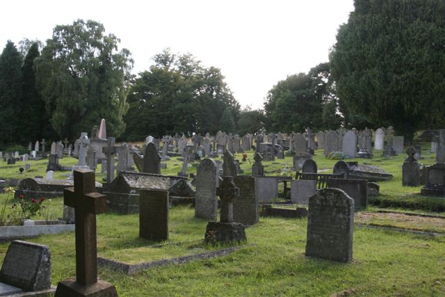
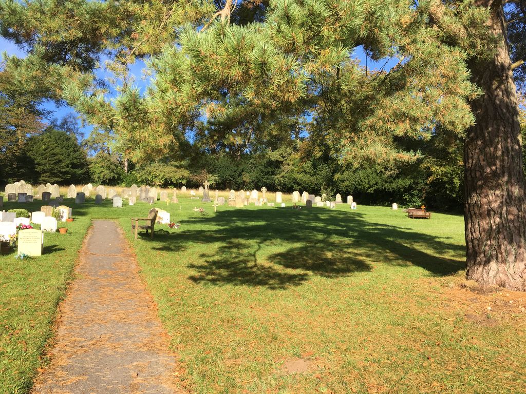
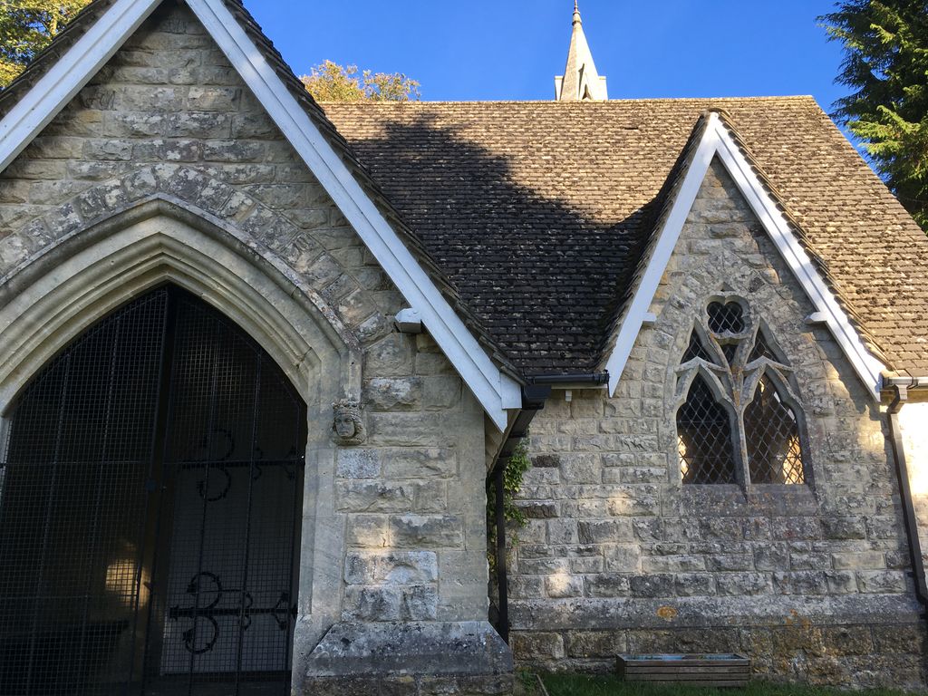
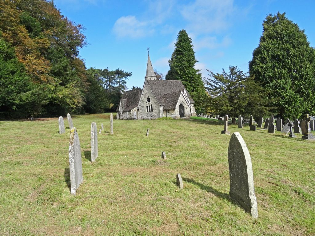
| Memorials | : | 0 |
| Location | : | Painswick, Stroud District, England |
| Coordinate | : | 51.7971040, -2.1918690 |
frequently asked questions (FAQ):
-
Where is Painswick Cemetery?
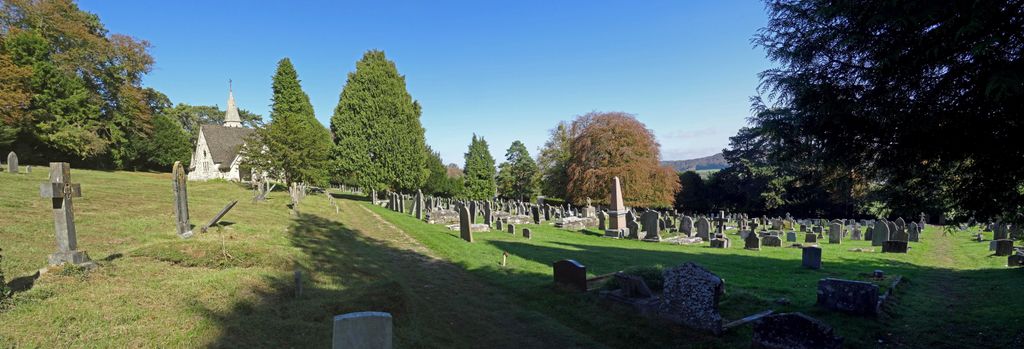
Painswick Cemetery is located at Golf Course Lane Painswick, Stroud District ,Gloucestershire , GL6 6TLEngland.
-
Painswick Cemetery cemetery's updated grave count on graveviews.com?
0 memorials
-
Where are the coordinates of the Painswick Cemetery?
Latitude: 51.7971040
Longitude: -2.1918690
Nearby Cemetories:
1. St. Mary the Virgin Churchyard
Painswick, Stroud District, England
Coordinate: 51.7852975, -2.1947224
2. St. John the Apostle Churchyard
Sheepscombe, Stroud District, England
Coordinate: 51.7894990, -2.1582430
3. St. James the Great Churchyard
Cranham, Stroud District, England
Coordinate: 51.8102797, -2.1596329
4. Prinknash Abbey
Cranham, Stroud District, England
Coordinate: 51.8225000, -2.1761110
5. St John the Baptist Churchyard
Harescombe, Stroud District, England
Coordinate: 51.7921570, -2.2373260
6. St John the Baptist Churchyard
Pitchcombe, Stroud District, England
Coordinate: 51.7727590, -2.2166790
7. St. Swithun Churchyard
Brookthorpe, Stroud District, England
Coordinate: 51.8087500, -2.2402900
8. Holy Trinity Churchyard
Slad, Stroud District, England
Coordinate: 51.7647770, -2.1866550
9. St Margaret Church
Whaddon, Stroud District, England
Coordinate: 51.8214600, -2.2433000
10. St Paul Churchyard
Whiteshill, Stroud District, England
Coordinate: 51.7597750, -2.2321540
11. Church of St. Mary
Great Witcombe, Tewkesbury Borough, England
Coordinate: 51.8316950, -2.1311090
12. St. Peter's Churchyard
Haresfield, Stroud District, England
Coordinate: 51.7921323, -2.2767870
13. St. John the Baptist Churchyard
Randwick, Stroud District, England
Coordinate: 51.7587400, -2.2514000
14. St. Laurence Churchyard
Stroud, Stroud District, England
Coordinate: 51.7459470, -2.2153950
15. All Saints Churchyard
Bisley, Stroud District, England
Coordinate: 51.7520580, -2.1409380
16. Gloucester Old Cemetery
Gloucester, City of Gloucester, England
Coordinate: 51.8482100, -2.2276700
17. Stroud Hill Cemetery
Stroud, Stroud District, England
Coordinate: 51.7415670, -2.2002660
18. Saint Michael and All Angels Churchyard
Brimpsfield, Cotswold District, England
Coordinate: 51.8000000, -2.1000000
19. Bisley Burial Ground
Bisley, Stroud District, England
Coordinate: 51.7493640, -2.1389080
20. St George Churchyard
Brockworth, Tewkesbury Borough, England
Coordinate: 51.8517460, -2.1598180
21. Gloucester Crematorium
Gloucester, City of Gloucester, England
Coordinate: 51.8538180, -2.2219260
22. Ss Philip and James Churchyard
Hucclecote, Tewkesbury Borough, England
Coordinate: 51.8573040, -2.1876440
23. St Lawrence Churchyard
Barnwood, City of Gloucester, England
Coordinate: 51.8580470, -2.2069750
24. St. James' Churchyard
Quedgeley, City of Gloucester, England
Coordinate: 51.8257770, -2.2811150