
| Memorials | : | 0 |
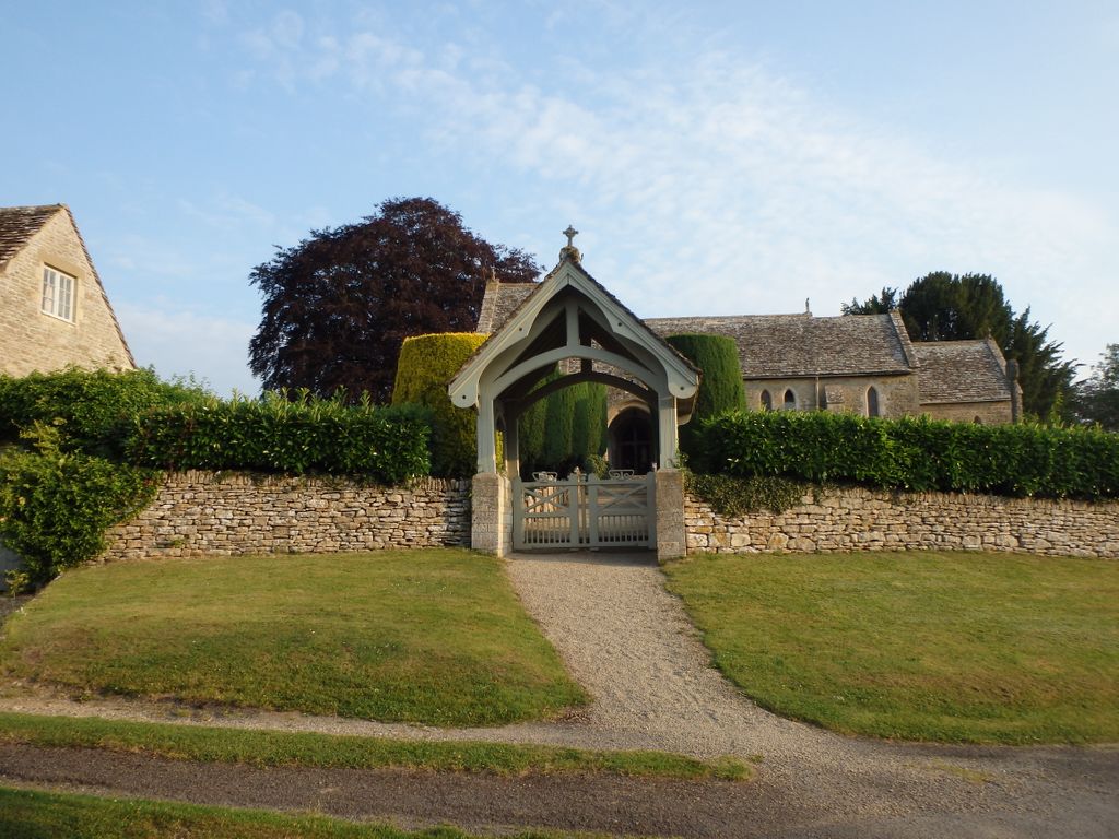
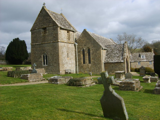
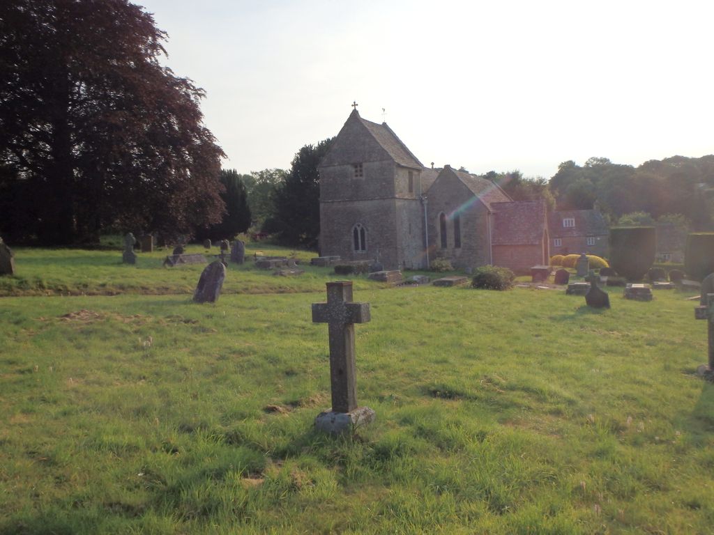
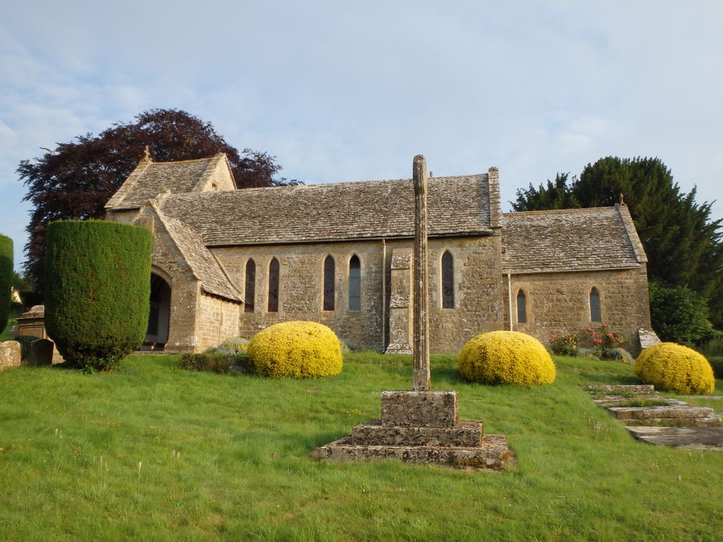
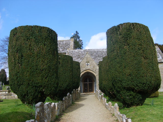
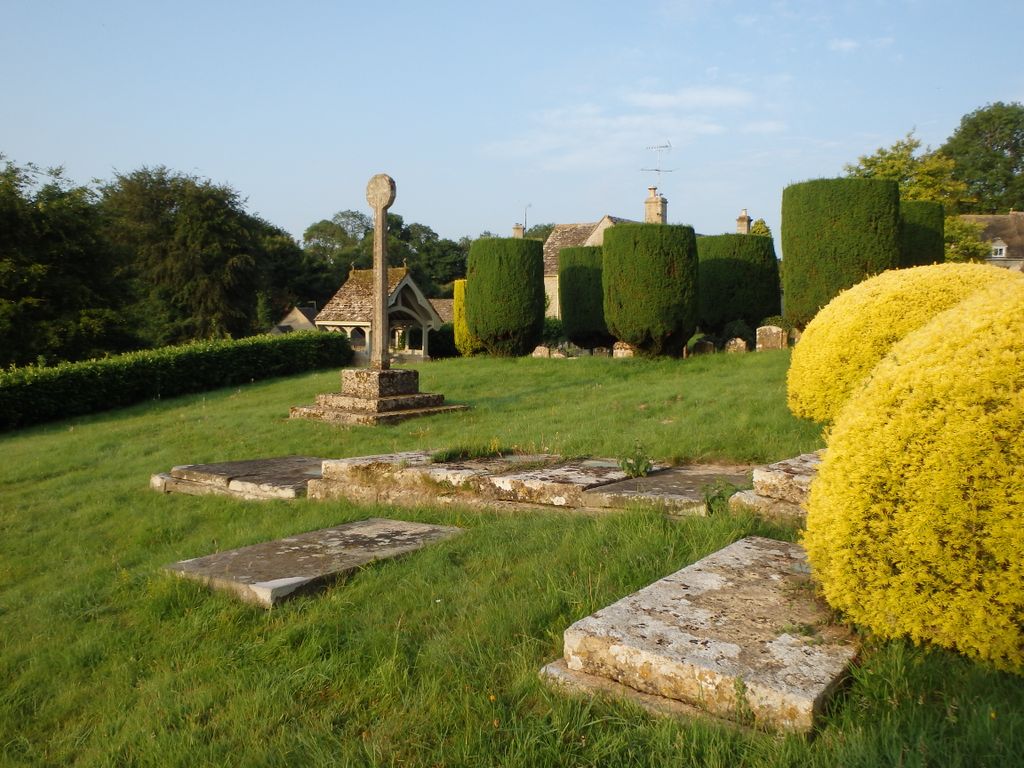
| Location | : | Duntisbourne Abbots, Cotswold District, England |
| Coordinate | : | 51.7694080, -2.0438190 |
frequently asked questions (FAQ):
-
Where is St Peter Churchyard?
St Peter Churchyard is located at St Peter Duntisbourne Abbots Duntisbourne Abbots, Cotswold District ,Gloucestershire , GL7 7JNEngland.
-
St Peter Churchyard cemetery's updated grave count on graveviews.com?
0 memorials
-
Where are the coordinates of the St Peter Churchyard?
Latitude: 51.7694080
Longitude: -2.0438190
Nearby Cemetories:
1. St. Andrew's Churchyard
Miserden, Stroud District, England
Coordinate: 51.7787500, -2.0940500
2. St. Mary the Virgin Churchyard
Syde, Cotswold District, England
Coordinate: 51.7961724, -2.0750209
3. All Saints Churchyard
North Cerney, Cotswold District, England
Coordinate: 51.7687300, -1.9746800
4. St. Kenelm's Churchyard
Sapperton, Cotswold District, England
Coordinate: 51.7294000, -2.0775000
5. Saint Michael and All Angels Churchyard
Brimpsfield, Cotswold District, England
Coordinate: 51.8000000, -2.1000000
6. Stratton Cemetery
Cirencester, Cotswold District, England
Coordinate: 51.7353020, -1.9859041
7. St Mary Magdalene Churchyard
Baunton, Cotswold District, England
Coordinate: 51.7400511, -1.9692225
8. St. Mary's Churchyard
Cowley, Cotswold District, England
Coordinate: 51.8304330, -2.0520550
9. St Matthew Churchyard
Coates, Cotswold District, England
Coordinate: 51.7077470, -2.0411010
10. Bisley Burial Ground
Bisley, Stroud District, England
Coordinate: 51.7493640, -2.1389080
11. All Saints Churchyard
Bisley, Stroud District, England
Coordinate: 51.7520580, -2.1409380
12. St Bartholemew Church
Oakridge, Stroud District, England
Coordinate: 51.7291209, -2.1276180
13. St. John the Baptist Churchyard
Cirencester, Cotswold District, England
Coordinate: 51.7175600, -1.9678580
14. Chesterton Cemetery
Cirencester, Cotswold District, England
Coordinate: 51.7099230, -1.9801340
15. St. John the Apostle Churchyard
Sheepscombe, Stroud District, England
Coordinate: 51.7894990, -2.1582430
16. St. John the Baptist Churchyard
France Lynch, Stroud District, England
Coordinate: 51.7265600, -2.1445600
17. Chalford Baptist Tabernacle Churchyard
Chalford, Stroud District, England
Coordinate: 51.7226610, -2.1443260
18. France Lynch Congregational Chapelyard
Chalford, Stroud District, England
Coordinate: 51.7251000, -2.1485300
19. Eastcombe Baptist Churchyard
Eastcombe, Stroud District, England
Coordinate: 51.7378009, -2.1606789
20. St Andrews
Chedworth, Cotswold District, England
Coordinate: 51.8078450, -1.9259590
21. Church of St. Mary
Great Witcombe, Tewkesbury Borough, England
Coordinate: 51.8316950, -2.1311090
22. St. James the Great Churchyard
Cranham, Stroud District, England
Coordinate: 51.8102797, -2.1596329
23. Christ Church Churchyard
Chalford, Stroud District, England
Coordinate: 51.7214500, -2.1577900
24. St. Michael's and All Angels Churchyard
Bisley, Stroud District, England
Coordinate: 51.7301150, -2.1715900