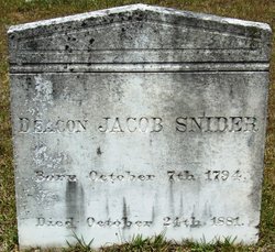
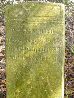
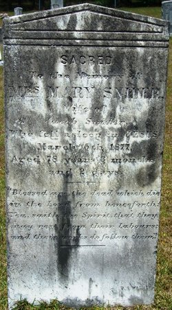
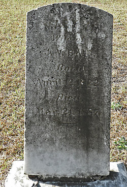
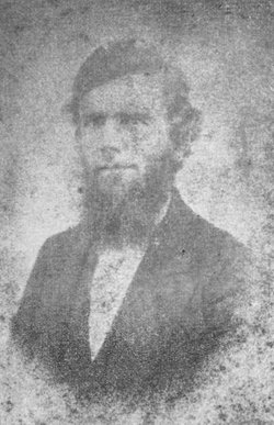
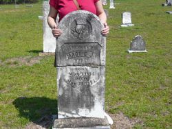
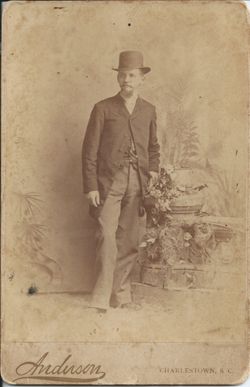
Deacon William Jacob Snider
| Birth | : | 7 Oct 1794 |
| Death | : | 24 Oct 1881 Kentucky, USA |
| Burial | : | Northfield Farms Cemetery, Northfield, Franklin County, USA |
| Coordinate | : | 42.6124992, -72.4741974 |
| Description | : | Times and Democrat 3 November, 1881 "Jacob Snider of St. Matthew, died while on a visit with his sister in Kentucky. After a full life, full of good deeds, his remains were brought home to be interred near the loved ones who had gone before. A member of the Santee Baptist Church.. He reared a large family of boys and girls. Born November 7, 1794 died October 24,1881. Jacob Snider was buried alongside his dear wife, Mary Till, in Santee Baptist Cemetery in Elloree, South Carolina" Deacon William Jacob Snider was married to Mary TILL (daughter of Jacob TILL and Margaret) on... Read More |
frequently asked questions (FAQ):
-
Where is Deacon William Jacob Snider's memorial?
Deacon William Jacob Snider's memorial is located at: Northfield Farms Cemetery, Northfield, Franklin County, USA.
-
When did Deacon William Jacob Snider death?
Deacon William Jacob Snider death on 24 Oct 1881 in Kentucky, USA
-
Where are the coordinates of the Deacon William Jacob Snider's memorial?
Latitude: 42.6124992
Longitude: -72.4741974
Family Members:
Parent
Spouse
Siblings
Children
Flowers:
Nearby Cemetories:
1. Northfield Farms Cemetery
Northfield, Franklin County, USA
Coordinate: 42.6124992, -72.4741974
2. Durkee Burial Lot
Northfield, Franklin County, USA
Coordinate: 42.6070000, -72.4861000
3. Holton Cemetery
Erving, Franklin County, USA
Coordinate: 42.5799500, -72.4634600
4. Gill Center Cemetery
Gill, Franklin County, USA
Coordinate: 42.6413803, -72.4983063
5. Diemand Family Cemetery
Wendell, Franklin County, USA
Coordinate: 42.5769900, -72.4520600
6. North Cemetery
Gill, Franklin County, USA
Coordinate: 42.6514160, -72.4817630
7. Beers Ambush Gravesite
Northfield, Franklin County, USA
Coordinate: 42.6501200, -72.4560300
8. East Mineral Road Cemetery
Montague, Franklin County, USA
Coordinate: 42.5810500, -72.5086300
9. Highland Cemetery
Montague, Franklin County, USA
Coordinate: 42.5778008, -72.5083008
10. South Mountain Road Cemetery
Northfield, Franklin County, USA
Coordinate: 42.6375008, -72.4167023
11. Riverside Cemetery
Gill, Franklin County, USA
Coordinate: 42.6156006, -72.5410995
12. West Gill Cemetery
Gill, Franklin County, USA
Coordinate: 42.6442700, -72.5280500
13. Erving Center Cemetery
Erving, Franklin County, USA
Coordinate: 42.6033300, -72.4056800
14. Dry Hill Cemetery
Montague, Franklin County, USA
Coordinate: 42.5558300, -72.4647600
15. Town Cemetery
Montague, Franklin County, USA
Coordinate: 42.5595000, -72.5070200
16. Our Lady of Czestochowa Cemetery
Montague, Franklin County, USA
Coordinate: 42.5846000, -72.5469400
17. Saint Annes Cemetery
Montague, Franklin County, USA
Coordinate: 42.5861300, -72.5480600
18. Saint Marys Cemetery
Montague, Franklin County, USA
Coordinate: 42.5852200, -72.5475100
19. Aaron Clark Memorial Cemetery
Montague, Franklin County, USA
Coordinate: 42.5836200, -72.5471600
20. Springdale Cemetery
Montague, Franklin County, USA
Coordinate: 42.5884700, -72.5530900
21. Mount Hermon Cemetery
Northfield, Franklin County, USA
Coordinate: 42.6790800, -72.4821100
22. Fairway Avenue Cemetery
Montague, Franklin County, USA
Coordinate: 42.5924270, -72.5646970
23. Greenfield Hebrew Congregation Cemetery
Greenfield, Franklin County, USA
Coordinate: 42.6409410, -72.5653360
24. Coller Cemetery
Northfield, Franklin County, USA
Coordinate: 42.6563988, -72.3930969

