

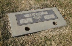
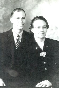
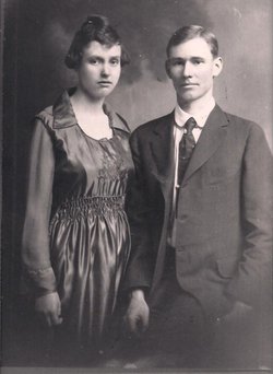
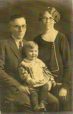
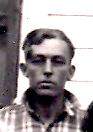
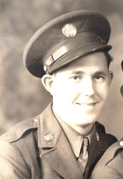
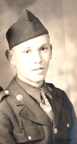
Susie Esther Myers Campbell
| Birth | : | 21 Mar 1897 Kansas, USA |
| Death | : | 16 Jun 1986 Lincoln, Placer County, California, USA |
| Burial | : | Lincoln Cemetery, Lincoln, Placer County, USA |
| Coordinate | : | 38.8864310, -121.3020500 |
| Plot | : | Women's Club Sec,. Blk 92, Grp1 |
frequently asked questions (FAQ):
-
Where is Susie Esther Myers Campbell's memorial?
Susie Esther Myers Campbell's memorial is located at: Lincoln Cemetery, Lincoln, Placer County, USA.
-
When did Susie Esther Myers Campbell death?
Susie Esther Myers Campbell death on 16 Jun 1986 in Lincoln, Placer County, California, USA
-
Where are the coordinates of the Susie Esther Myers Campbell's memorial?
Latitude: 38.8864310
Longitude: -121.3020500
Family Members:
Parent

Spouse
Siblings
Children
Flowers:


Nearby Cemetories:
1. Lincoln Cemetery
Lincoln, Placer County, USA
Coordinate: 38.8864310, -121.3020500
2. Santa Clara Memorial Park
Lincoln, Placer County, USA
Coordinate: 38.8894710, -121.3260560
3. Manzanita Cemetery
Lincoln, Placer County, USA
Coordinate: 38.9444008, -121.3032990
4. Whitney Family Mausoleum
Rocklin, Placer County, USA
Coordinate: 38.8256500, -121.2477000
5. Morgan Oaks Eternal Preserve
Lincoln, Placer County, USA
Coordinate: 38.9629050, -121.2860530
6. Gold Hill Cemetery
Gold Hill, Placer County, USA
Coordinate: 38.9025000, -121.1802200
7. Sheridan Cemetery
Sheridan, Placer County, USA
Coordinate: 38.9741000, -121.3585300
8. School House Park Cemetery
Roseville, Placer County, USA
Coordinate: 38.7893180, -121.3578670
9. Rocklin Cemetery
Rocklin, Placer County, USA
Coordinate: 38.7827670, -121.2337980
10. Newcastle Cemetery
Newcastle, Placer County, USA
Coordinate: 38.8708880, -121.1444060
11. Stewarts Flat Cemetery
Penryn, Placer County, USA
Coordinate: 38.8447360, -121.1507950
12. Roseville Public Cemetery District
Roseville, Placer County, USA
Coordinate: 38.7606010, -121.2707977
13. Shepherd of the Sierra Memorial Garden
Loomis, Placer County, USA
Coordinate: 38.7890800, -121.1944200
14. Boothill Cemetery
Roseville, Placer County, USA
Coordinate: 38.7598730, -121.2712130
15. Ophir Cemetery
Placer County, USA
Coordinate: 38.8928870, -121.1273790
16. Lone Star Cemetery
Placer County, USA
Coordinate: 38.9757996, -121.1380997
17. Camp Far West Cemetery
Wheatland, Yuba County, USA
Coordinate: 39.0395500, -121.3431400
18. Prosser Family Cemetery
Loomis, Placer County, USA
Coordinate: 38.8071900, -121.1285600
19. Mansur Family Cemetery
Loomis, Placer County, USA
Coordinate: 38.8139600, -121.1214000
20. Wheatland Cemetery
Wheatland, Yuba County, USA
Coordinate: 39.0083008, -121.4360962
21. New Auburn Cemetery
Auburn, Placer County, USA
Coordinate: 38.9026900, -121.0870800
22. Union Cemetery
Roseville, Placer County, USA
Coordinate: 38.7302600, -121.3924200
23. Old Auburn Cemetery
Auburn, Placer County, USA
Coordinate: 38.9023720, -121.0812230
24. Wells Cemetery
Auburn, Placer County, USA
Coordinate: 38.9667000, -121.1054900