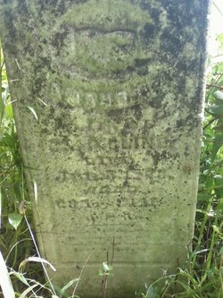
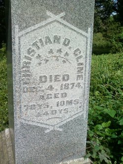
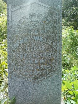
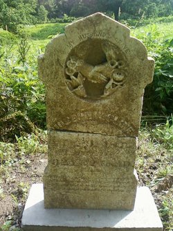
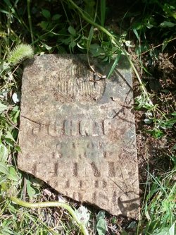
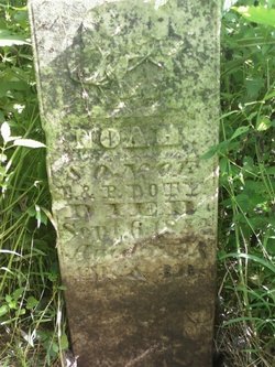
Amanda Permelia Cline
| Birth | : | 1849 Cedar County, Iowa, USA |
| Death | : | 5 Jan 1873 Cedar County, Iowa, USA |
| Burial | : | Drew Cemetery, Freedom, Carroll County, USA |
| Coordinate | : | 43.8607000, -71.0327000 |
| Description | : | 23 January 1873 - The Tipton Advertiser DIED At the residence of her parents, in Rochester township, January 5th, 1873, AMANDA PERMELIA, daughter of Christian and Permelia Cline, aged twenty-three years, four months and seven days. daughter of Christian and Permelia aged 23 years, 4 months and 8 days |
frequently asked questions (FAQ):
-
Where is Amanda Permelia Cline's memorial?
Amanda Permelia Cline's memorial is located at: Drew Cemetery, Freedom, Carroll County, USA.
-
When did Amanda Permelia Cline death?
Amanda Permelia Cline death on 5 Jan 1873 in Cedar County, Iowa, USA
-
Where are the coordinates of the Amanda Permelia Cline's memorial?
Latitude: 43.8607000
Longitude: -71.0327000
Family Members:
Parent
Siblings
Flowers:
Nearby Cemetories:
1. Drew Cemetery
Freedom, Carroll County, USA
Coordinate: 43.8607000, -71.0327000
2. Wilkinson Cemetery
Eaton, Carroll County, USA
Coordinate: 43.8663900, -71.0331800
3. Moses-Young Cemetery
Freedom, Carroll County, USA
Coordinate: 43.8504800, -71.0317500
4. Smart Cemetery
Freedom, Carroll County, USA
Coordinate: 43.8598700, -71.0483200
5. Allard Cemetery
Freedom, Carroll County, USA
Coordinate: 43.8599600, -71.0485000
6. Swett Hill Cemetery
Freedom, Carroll County, USA
Coordinate: 43.8547000, -71.0183000
7. Currier-Wilkinson Cemetery
Eaton, Carroll County, USA
Coordinate: 43.8708500, -71.0433400
8. Merrow-Gannett Cemetery
Eaton Center, Carroll County, USA
Coordinate: 43.8745200, -71.0153300
9. Allen Cemetery
Eaton, Carroll County, USA
Coordinate: 43.8698200, -71.0591800
10. Brooks Cemetery
Freedom, Carroll County, USA
Coordinate: 43.8505900, -71.0066900
11. Fernald Cemetery
Eaton, Carroll County, USA
Coordinate: 43.8825600, -71.0159200
12. Thurston Cemetery
Eaton Center, Carroll County, USA
Coordinate: 43.8690000, -71.0658000
13. Brooks Cemetery
Eaton, Carroll County, USA
Coordinate: 43.8860600, -71.0409300
14. Jenness-Leavitt Cemetery
Eaton, Carroll County, USA
Coordinate: 43.8804900, -71.0565000
15. Watson Hill Cemetery
Freedom, Carroll County, USA
Coordinate: 43.8361000, -71.0486000
16. Sargent Cemetery
Freedom, Carroll County, USA
Coordinate: 43.8489000, -70.9943000
17. Thurston and Burnham Cemetery
Freedom, Carroll County, USA
Coordinate: 43.8394000, -71.0636000
18. Eaton Old White Meeting House Cemetery
Eaton Center, Carroll County, USA
Coordinate: 43.8582000, -71.0760000
19. Foss Cemetery
Freedom, Carroll County, USA
Coordinate: 43.8316670, -71.0080560
20. Thurston Cemetery
Freedom, Carroll County, USA
Coordinate: 43.8423200, -71.0753800
21. Meserve and McDaniel Cemetery
Freedom, Carroll County, USA
Coordinate: 43.8272220, -71.0130560
22. Durgin Cemetery
Eaton Center, Carroll County, USA
Coordinate: 43.8700000, -71.0816670
23. Sargent Cemetery
Porter, Oxford County, USA
Coordinate: 43.8487483, -70.9842183
24. Roberts Cemetery
Porter, Oxford County, USA
Coordinate: 43.8465200, -70.9853400

