
| Memorials | : | 0 |
| Location | : | Boggs Township, Armstrong County, USA |
| Phone | : | 724 545 7521 |
| Website | : | www.mtzionpresbyterian.com |
| Coordinate | : | 40.8717100, -79.4171980 |
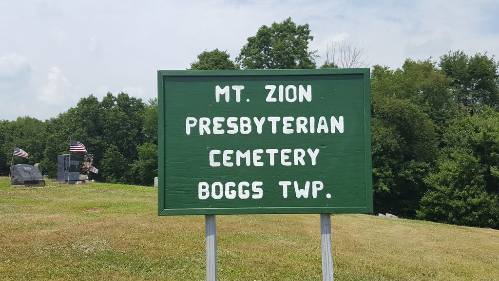
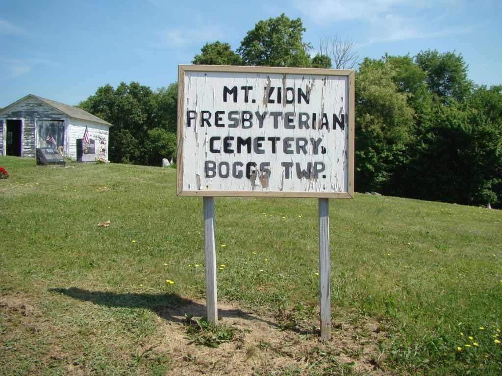
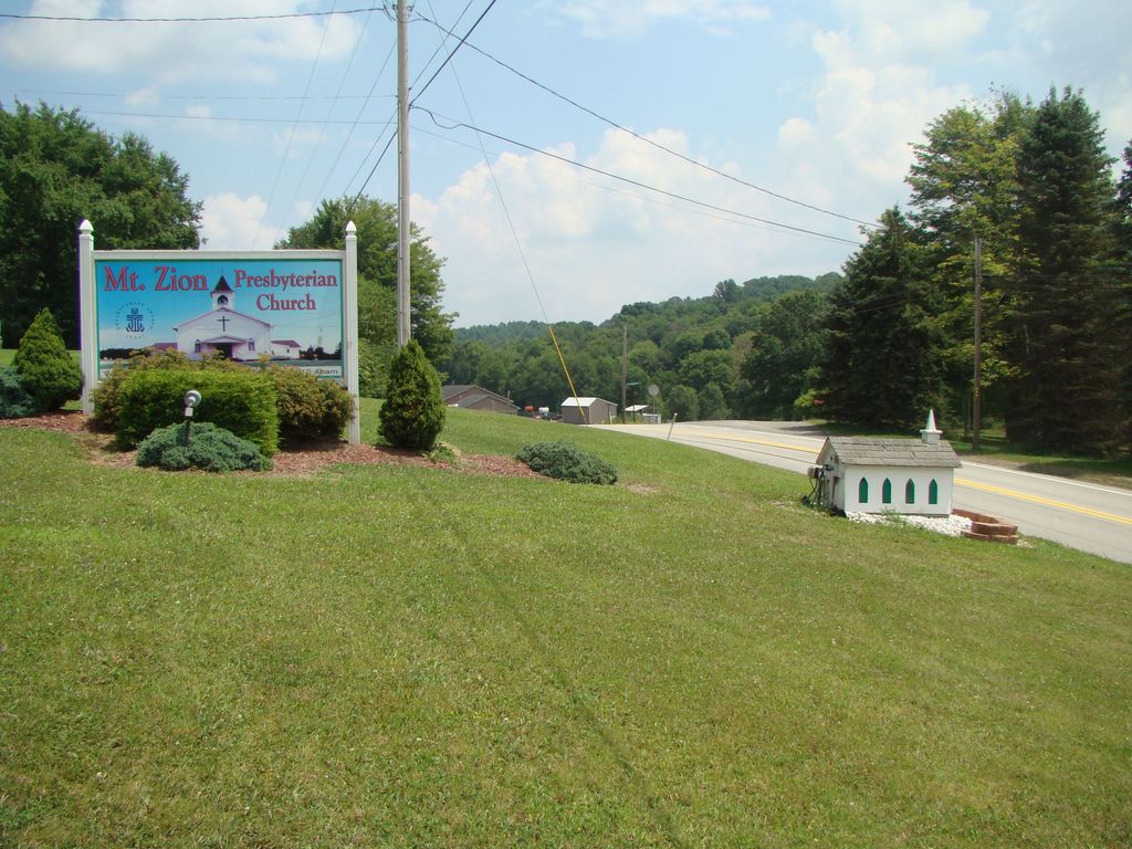
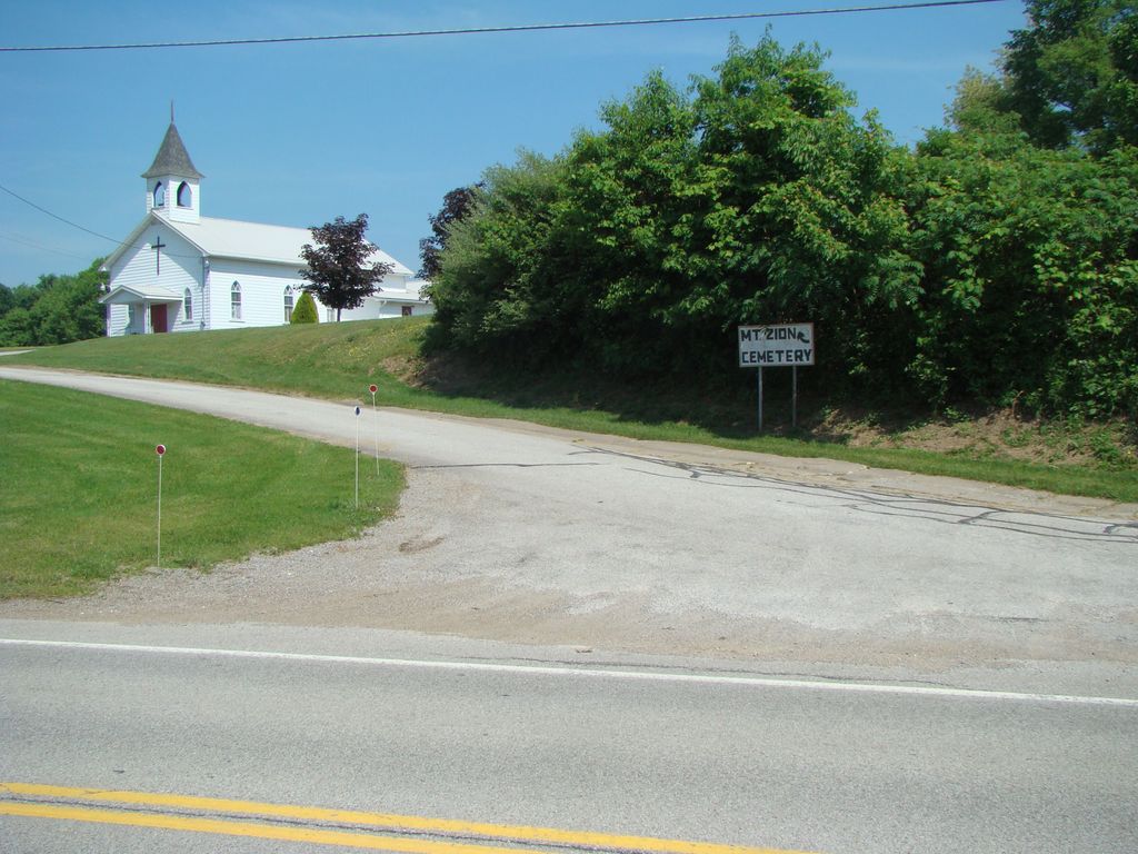
| Description | : | The Cemetery is located ~7 miles north of Kittanning on Route 28/66 on the left. Next to the Mt. Zion Presbyterian Church. The Mateer Cemetery is to the left of the church and the Mt. Zion Presbyterian Cemetery is to the right. |
frequently asked questions (FAQ):
-
Where is Mount Zion Presbyterian Cemetery?
Mount Zion Presbyterian Cemetery is located at 1433 PA-28,Templeton,PA Boggs Township, Armstrong County ,Pennsylvania , 16259USA.
-
Mount Zion Presbyterian Cemetery cemetery's updated grave count on graveviews.com?
0 memorials
-
Where are the coordinates of the Mount Zion Presbyterian Cemetery?
Latitude: 40.8717100
Longitude: -79.4171980
Nearby Cemetories:
1. Mateer Cemetery
Armstrong County, USA
Coordinate: 40.8721000, -79.4175000
2. Lower Piney Cemetery
Armstrong County, USA
Coordinate: 40.8655920, -79.4395400
3. Pine Creek Methodist Cemetery
Pine Furnace, Armstrong County, USA
Coordinate: 40.8497870, -79.4309590
4. Scott Fox Memorial Site
Kittanning, Armstrong County, USA
Coordinate: 40.8457580, -79.3972170
5. Calhoun Cemetery
Armstrong County, USA
Coordinate: 40.8502426, -79.3848648
6. Pine Creek Baptist Church Cemetery
Kittanning, Armstrong County, USA
Coordinate: 40.8514748, -79.4601440
7. Cochran Cemetery
Templeton, Armstrong County, USA
Coordinate: 40.8941994, -79.4582977
8. Mount Union Davis Cemetery
Armstrong County, USA
Coordinate: 40.8323850, -79.4236530
9. Rehobeth Reformed Presbyterian Church Cemetery
Kittanning, Armstrong County, USA
Coordinate: 40.8922670, -79.3695690
10. Ritchison Farm Cemetery
Armstrong County, USA
Coordinate: 40.8475000, -79.4747000
11. Good Shepherd Cemetery
Fenelton, Butler County, USA
Coordinate: 40.8434590, -79.4741510
12. Myers-Patton Cemetery
Adrian, Armstrong County, USA
Coordinate: 40.8619270, -79.4972458
13. Bell Town Road Cemetery
Templeton, Armstrong County, USA
Coordinate: 40.9243110, -79.4624050
14. Stewardson Furnace Cemetery
Armstrong County, USA
Coordinate: 40.9331510, -79.4421280
15. Salem United Church of Christ Cemetery
Kittanning, Armstrong County, USA
Coordinate: 40.8244130, -79.3559970
16. Jerusalem Lutheran Cemetery
Wayne Township, Armstrong County, USA
Coordinate: 40.9197006, -79.3566971
17. John Cemetery
Frenchs Corners, Armstrong County, USA
Coordinate: 40.9003296, -79.4978409
18. Echo Methodist Episcopal Church Cemetery
Armstrong County, USA
Coordinate: 40.8570420, -79.3275330
19. Toy Cemetery
Reesedale, Armstrong County, USA
Coordinate: 40.9297750, -79.4706770
20. Croyle Cemetery
Adrian, Armstrong County, USA
Coordinate: 40.8782997, -79.5108032
21. Concord Presbyterian Church Cemetery
Wayne Township, Armstrong County, USA
Coordinate: 40.8910599, -79.3240356
22. Toy Family Cemetery
Adrian, Armstrong County, USA
Coordinate: 40.8971130, -79.5082120
23. Pleasant Union Cemetery
Cowanshannock Township, Armstrong County, USA
Coordinate: 40.8314018, -79.3350449
24. Brush Valley Cemetery
Adrian, Armstrong County, USA
Coordinate: 40.9044000, -79.5062000